
Porters Creek Trail
HistoryBackcountry camps
Along the way #31 Porters Flalt Ownby-Longbranch Cemetery
Trailhead Porters Creek Trail Trailhead 1,886 ft Drive there
Hike Porters Creek Trail 4 mi round trip · the Park Service's write-up
1-3 Hours · no dogs · entrance fee applies
Start Greenbrier
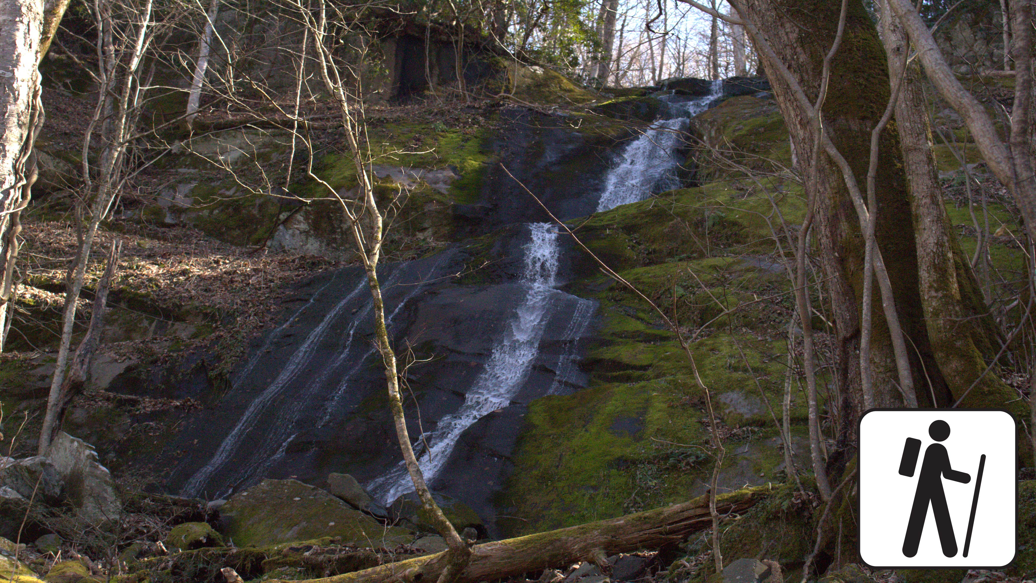
Porters Creek is a peaceful trail that is filled with history and loads of natural wonders.
Overview
If you're seeking a moderate hike that's typically less crowded than other park trails, Porters Creek Trail is a great option. The trail features historical and natural wonders, including the Great Smoky Mountain Hiking Club Cabin and the tranquil 40-foot Fern Branch Falls.
The trail ends at backcountry campsite #31, but many hikers turn back after reaching Fern Branch Falls, about 2 miles in. If you decide to continue, be aware that the trail becomes steeper just before the waterfall and remains mostly uphill to the campsite. A backcountry permit is required to camp at the site.
Parking & Trailhead
The trailhead is located at the dead-end of Greenbrier Road. Once you enter Greenbrier, continue to the end of the road in which you will see the trailhead and a gravel parking area with room for approximately 20 vehicles to park. Don’t forget your parking tag!
Nearest Restroom
Greenbrier Picnic Pavillion
Alternate Hikes
Hen Wallow Falls via Gabes Mountain Trail 4.3 miles (6.9 km) roundtrip.
Lynn Camp Prong Cascades via Middle Prong Trail 1.4 miles (2.3 km) roundtrip.
Gatlinburg Trail 3.8 miles (6.1 km) roundtrip.
Husky Branch Falls via Little River-Cucumber Gap-Jakes Creek Loop 5.4 miles (8.7 km) roundtrip.
Pets Pets are not permitted on this trail.
Accessibility Roots, rocks, high footlog bridges, stream crossings, and some elevation gain may make this trail challenging for some individuals.