
Lynn Camp Prong Trail
Backcountry camps
Along the way #28 Marks Cove
Hike to Lynn Camp Prong Cascades 1.4 mi round trip · the Park Service's write-up
no dogs · entrance fee applies
Overview
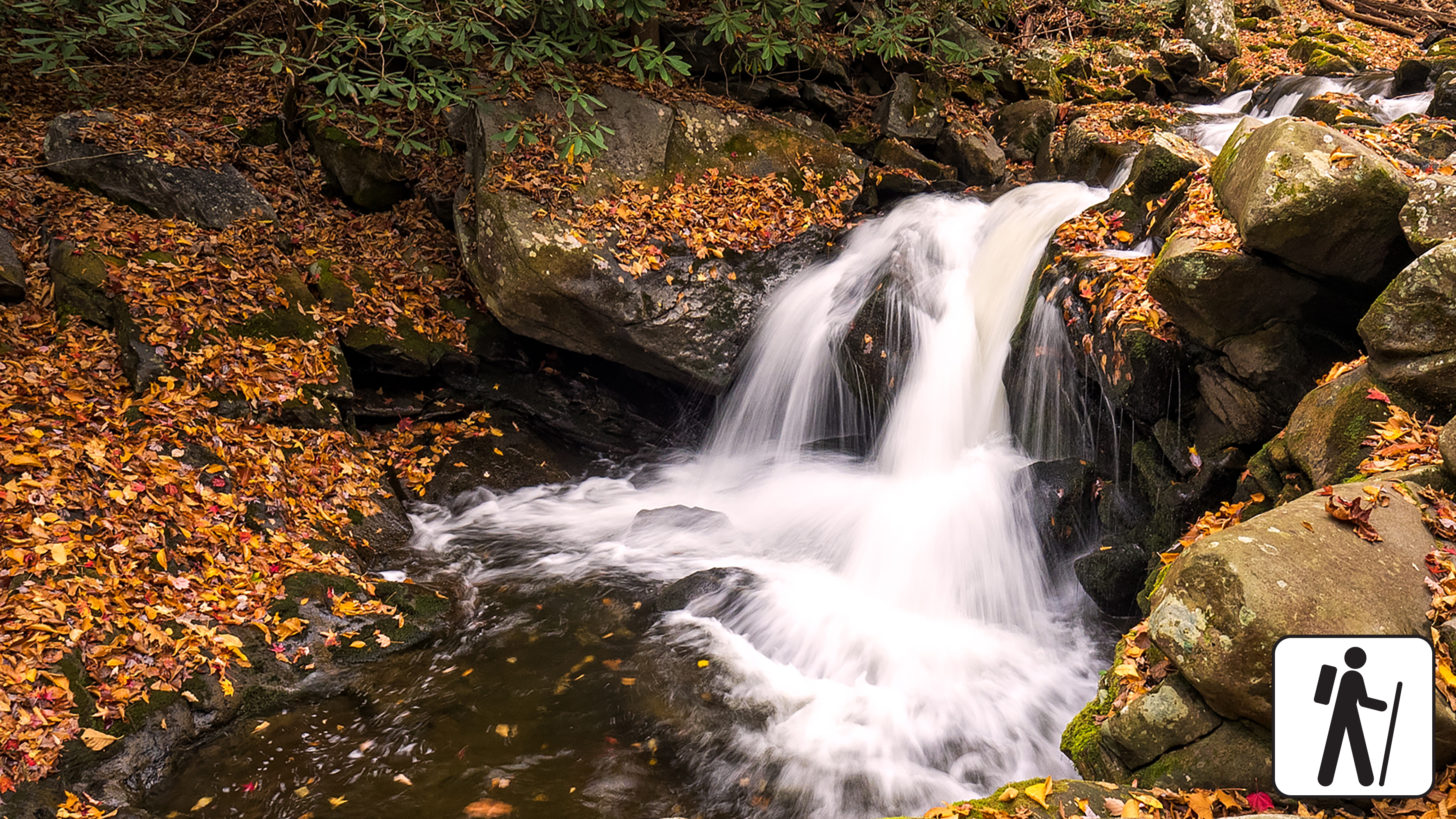
Hike 1.4 miles (2.3 km) roundtrip for a woodland stroll following an old railroad bed along the Middle Prong of Little River to a dramatic cascade in Great Smoky Mountains National Park .
The trail is mostly wide and flat and gently ascends through rhododendron and some cliff-like rock outcroppings, though it narrows in some sections where washouts have occurred.
Length
1.4 miles (2.3 km) roundtrip
Parking & Trailhead
Park at Middle Prong Trailhead at the end of Upper Tremont Road (unpaved but well-maintained). Don't forget your parking tag .
Nearest Restroom
Great Smokies Welcome Center in Townsend (7929 E. Lamar Alexander Pkwy, Townsend, TN 37882)
Alternate Hikes
Kephart Prong Trail : 4 miles (6.4 km) roundtrip
Little River, Cucumber Gap, Jakes Creek Loop : 5.4 miles (8.7 km) roundtrip
Twentymile Cascades: 1.2 miles (1.9 km) roundtrip
Anthony Creek Trail: varying lengths
Pets The Gatlinburg Trail and Oconaluftee River Trail are the only two park trails where pets are permitted. Pets are also allowed in picnic areas, in campgrounds, and on roads.
Accessibility The first 1.3 miles of Middle Prong Trail has been assessed using the High-Efficiency Trail Assessment Process (HETAP) to provide objective information such as grade and slope. GRIT Freedom Chairs are available for free checkout on a first-come, first-served basis for this section of trail. Trail is mostly wide and flat with a gentle ascent. Use descriptions, maps, and photos to determine which hikes are suitable for you. For information about the reservation process and other trail segments where GRIT Freedom Chairs can be used, visit the trail accessibility page.