
Look Rock Developed Trail
ViewsPeaksTowers
Along the way Look Rock Look Rock Tower Look Rock Overlook Murray Gap Overlook
Trailhead Look Rock Developed Trail Trailhead 2,473 ft Drive there
Hike to Look Rock Tower 0.8 mi round trip · the Park Service's write-up
no dogs · entrance fee applies
Overview
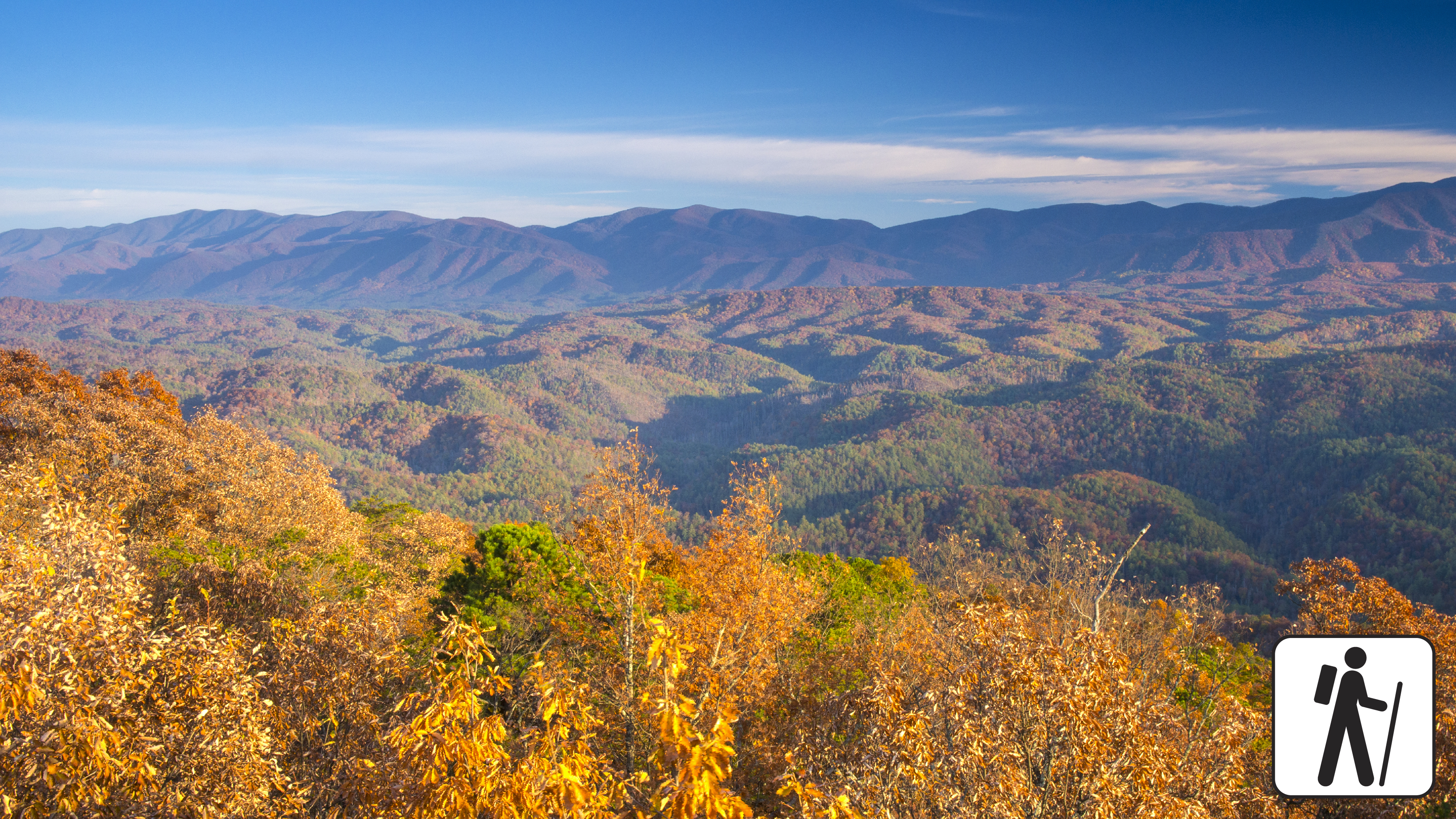
Walk 0.8 miles (1.3 km) on a short, paved trail through the forest to an observation tower in Great Smoky Mountains National Park with panoramic views of the surrounding mountains and Blount County, Tennessee. This trail includes some mild to moderate inclines.
Length
0.8 miles (1.3 km) roundtrip
Parking & Trailhead
Look Rock Tower Trailhead is on the south side of the road across from a pull-out on Foothills Parkway West between mile markers 14 and 15 (other access points from Look Rock Campground and the nearby Look Rock Picnic Area ). Don't forget your parking tag .
Nearest Restroom
Look Rock Picnic Area (no restrooms at parking lot or trailhead)
Alternate Hikes
Sugarlands Valley Nature Trail : 0.5 miles (0.8 km) roundtrip
John Oliver Cabin : 0.3 miles (0.5 km) roundtrip
Kuwohi : 1 mile (1.6 km) roundtrip
Pets The Gatlinburg Trail and Oconaluftee River Trail are the only two park trails where pets are permitted. Pets are also allowed in picnic areas, in campgrounds, and on roads.
Accessibility Trail is paved but steep.