
Little River Trail
WaterfallsBackcountry camps
Along the way #24 Rough Creek #30 Three Forks Husky Branch Falls
Trailhead Little River Trail Trailhead 2,169 ft Drive there
Hike Little River Trail 12.4 mi round trip · the Park Service's write-up
no dogs · entrance fee applies
Start Little River Trail
Overview
a { text-decoration: none; color: #464feb; } tr th, tr td { border: 1px solid #e6e6e6; } tr th { background-color: #f5f5f5; }
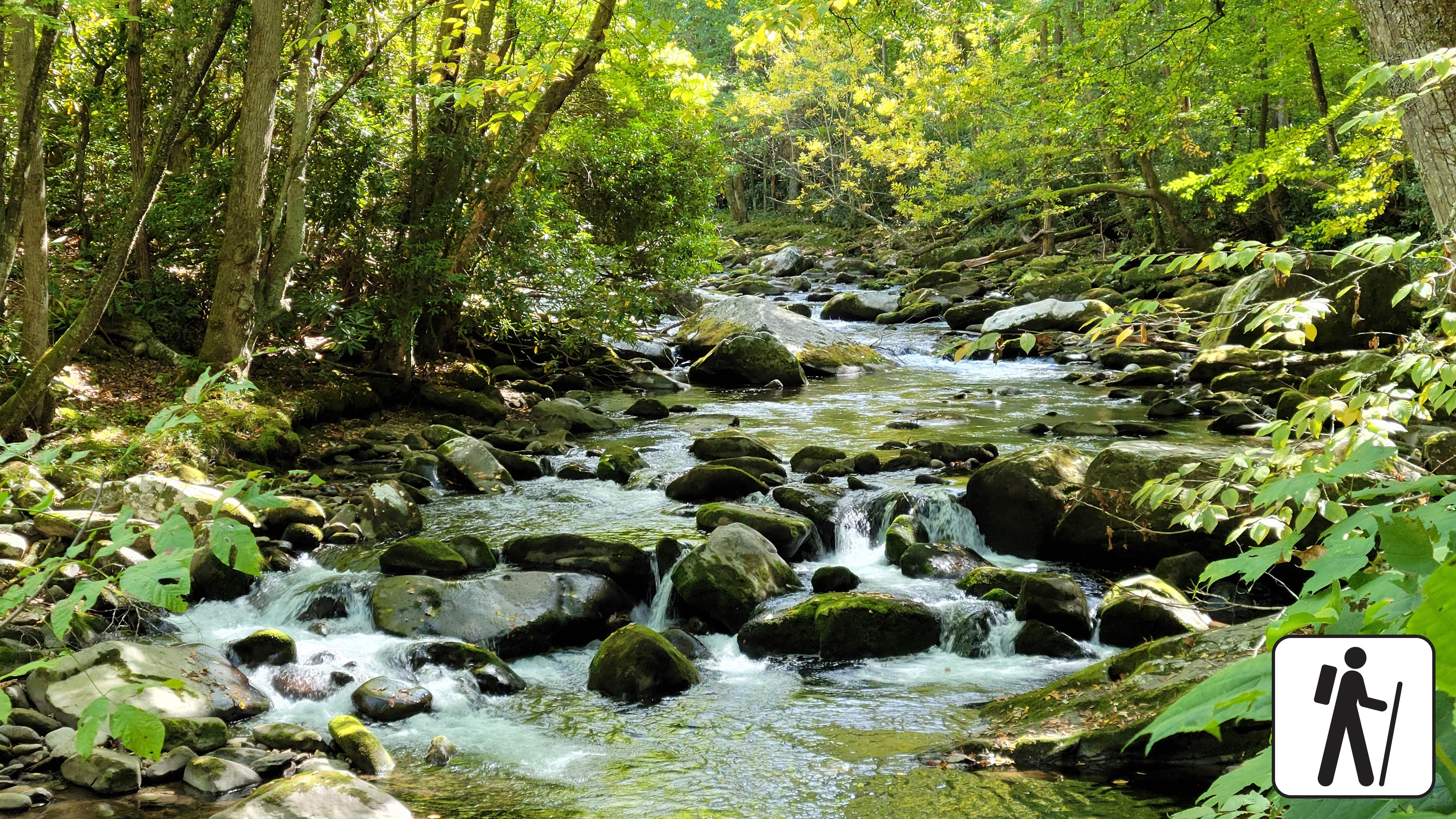
Once a railroad bed, the Little River Trail now offers a peaceful hike through the Elkmont area of the Smokies. As you follow the river’s gentle flow, you’ll pass remnants of the historic Daisytown community—stone chimneys and foundations quietly tucked into the forest.
The start of this trail is wide and scenic with minimal elevation gain, making it ideal for a relaxed hike to the Husky Gap Trail junction. For a longer, more challenging adventure, continue along the trail. The trail dead ends after passing a few trail junctions and backcountry campsites at backcountry campsite #30.
Due to its location, this route is perfect for hikers seeking both tranquility and a touch of history.
a { text-decoration: none; color: #464feb; } tr th, tr td { border: 1px solid #e6e6e6; } tr th { background-color: #f5f5f5; }
a { text-decoration: none; color: #464feb; } tr th, tr td { border: 1px solid #e6e6e6; } tr th { background-color: #f5f5f5; }
Length
12.4-miles (20 km) roundtrip
Parking & Trailhead
Park at the Little River Trailhead in Elkmont Historic District. Don't forget your parking tag .
Nearest Restroom
Daisy Town or Elkmont Campground (available seasonally)
Alternate Hikes
Lynn Camp Prong Cascades : 1.4 miles (2.3 km) roundtrip
Chasteen Creek Cascades : 3.6 miles (5.8 km) roundtrip
Twentymile Cascades : 1.2 miles (1.9 km) roundtrip
Finley Cane Trail to Bote Mtn Trail to Lead Cove Trail Loop : 6.9 mile (11.1 km) loop
Accessibility This trail is not ADA accessible. For the first 2.7 miles, the trail is relatively wide and flat, featuring a mix of crushed stone and occasional roots and rocks. While a few sections are slightly steeper, the overall path is considered leisurely, making it ideal for a relaxed hike. Around mile marker 2.5, the trail begins to narrow and transitions from a roadbed to a more natural path. After passing the junction with Rough Creek Trail at approximately 4.5 miles, the terrain becomes rockier and more challenging. The final stretch includes three water crossings, which require careful footing. A section of this trail has been assessed using the High-Efficiency Trail Assessment Process (HETAP) to provide objective information such as grade and slope. HETAP data collected on the first 0.9 miles of this trail: The typical slope is 3.2%. The typical cross slope/grade in the trail side-to-side , is 2.0%, with a maximum of 19.1%. The typical width is 10.6 feet (3.22 meters) with a minimum of 3.3 feet (1.02 meters). The trail surface is composed of aggregate material and gravel. GRIT Freedom Chairs are available for free checkout on a first-come, first-serve basis for the first 2.7 miles (one-way) of this trail to the junction with Huskey Gap Trail. Use descriptions, maps, and photos to determine which hikes are suitable for you. For information about the reservation process and other trail segments where GRIT Freedom Chairs can be used, visit the trail accessibility page.
Hike the Little River, Cucumber Gap, Jakes Creek Loop 5.4 mi round trip · the Park Service's write-up
no dogs · entrance fee applies
Overview
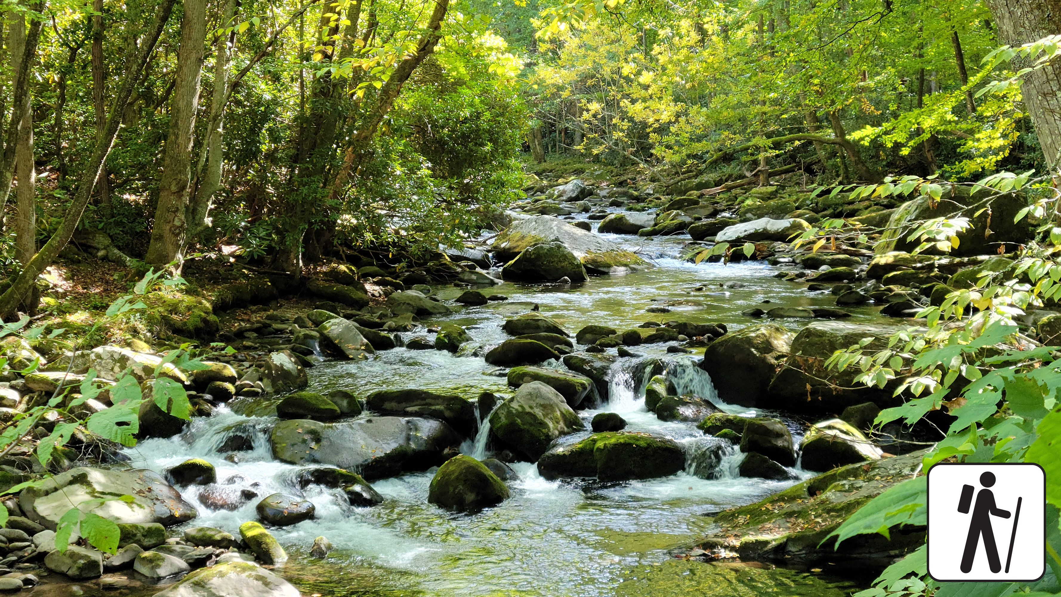
Hike 5.4 miles (8.7 km) on a pleasant and shady loop in the Elkmont area of Great Smoky Mountains National Park . The route connects three trails with streamside views, historic structures, and prolific spring wildflower displays.
Trail conditions vary from paved road and graveled path to narrower and rockier sections with minor stream crossings. The Little River section is wide and flat. Jakes Creek is wide and slightly steeper/rockier, but still has a mild-to-moderate grade. Cucumber Gap is narrow with ups and downs.
The Little River and Jakes Creek trailheads and parking areas are separated by a short section of one-way road in the leafy historic district of Elkmont.
Water crossing at Husky Branch on the Cucumber Gap Trail may not be passable during high water.
Length
5.4 miles (8.7 km) roundtrip
Parking & Trailhead
Park at either the Jakes Creek or Little River Trailhead in Elkmont Historic District. Both hikes begin on wide, gravel trails. Don't forget your parking tag .
Nearest Restroom
Elkmont Campground (available seasonally)
Alternate Hikes
Lynn Camp Prong Cascades : 1.4 miles (2.3 km) roundtrip
Chasteen Creek Cascades : 3.6 miles (5.8 km) roundtrip
Twentymile Cascades: 1.2 miles (1.9 km) roundtrip
Finley Cane Trail to Bote Mtn Trail to Lead Cove Trail Loop : 6.9 mile (11.1 km) loop
Pets The Gatlinburg Trail and Oconaluftee River Trail are the only two park trails where pets are permitted. Pets are also allowed in picnic areas, in campgrounds, and on roads.
Accessibility Little River and Jakes Creek trails are mostly wide and relatively flat with some rocks and roots on the trail. Cucumber Gap Trail is more narrow.