
Little Greenbrier Trail
PeaksGaps
Along the way Little Brier Gap Wear Cove Gap Little Mountain
Trailhead Little Greenbrier Trail Trailhead 1,834 ft Drive there
Hike to the Little Greenbrier School and Walker Homesite 3.4 mi round trip · the Park Service's write-up
no dogs · entrance fee applies
Overview
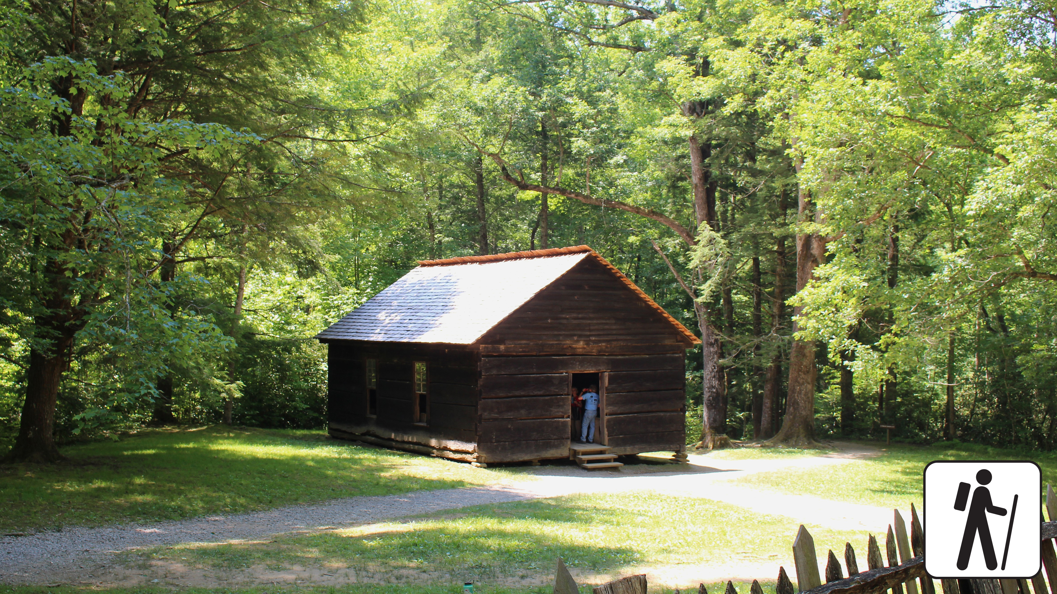
Hike 3.4 miles (5.5 km) roundtrip from the Metcalf Bottoms Picnic Area in Great Smoky Mountains National Park through hardwood forest to see remnants of past Smokies residents including stonework; the historic, one-room Little Greenbrier School; and the preserved homesite of the Walker family.
This hike begins on the Metcalf Bottoms Trail, located just beyond the bridge that connects Wears Cove Gap Road to the picnic area. leading to the historic Little Greenbrier Schoolhouse. The path is a well-packed dirt trail that gently climbs through the forest. Alternatively, the schoolhouse can also be accessed via a seasonally open gravel road off Wears Cove Gap Road. From the schoolhouse, the route continues uphill along a wide gravel roadbed, which is part of the Little Brier Gap Trail. This section leads to the preserved 19th-century homestead of the Walker family. Originally built in the 1840s, the cabin features two spacious rooms with fireplaces and a charming front porch. The site also includes a spring house and a corn crib, offering a glimpse into Appalachian mountain life of the past.
Length
3.4 miles (5.5 km) roundtrip
Parking & Trailhead
After parking at the Metcalf Bottoms Picnic Area, walk across the small bridge north of the picnic area to find the Metcalf Bottoms Trailhead. Don't forget your parking tag .
Nearest Restroom
Metcalf Bottoms Picnic Area
Alternate Hikes
John Oliver Cabin : 0.3 miles (0.5 km) roundtrip
Little River, Cucumber Gap, Jakes Creek Loop : 5.4 miles (8.7 km) roundtrip
Noah Bud Ogle Homesite: ~0.7 miles (1.1 km) roundtrip loop
Pets The Gatlinburg Trail and Oconaluftee River Trail are the only two park trails where pets are permitted. Pets are also allowed in picnic areas, in campgrounds, and on roads.
Accessibility Some steep sections plus occasional roots and rocks.