
Laurel Falls Trail
WaterfallsGaps
Along the way Fighting Creek Gap Laurel Falls
Hike to Laurel Falls 2.6 mi round trip · the Park Service's write-up
no dogs · entrance fee applies
Start Expect crowds and full parking at Laurel Falls Trailhead—consider a shuttle
Overview
Laurel Falls Trail is closed as of Jan. 6, 2025 for rehabilitation work—alternate hikes listed below.
Learn more about the trail rehabilitation project in the news release .
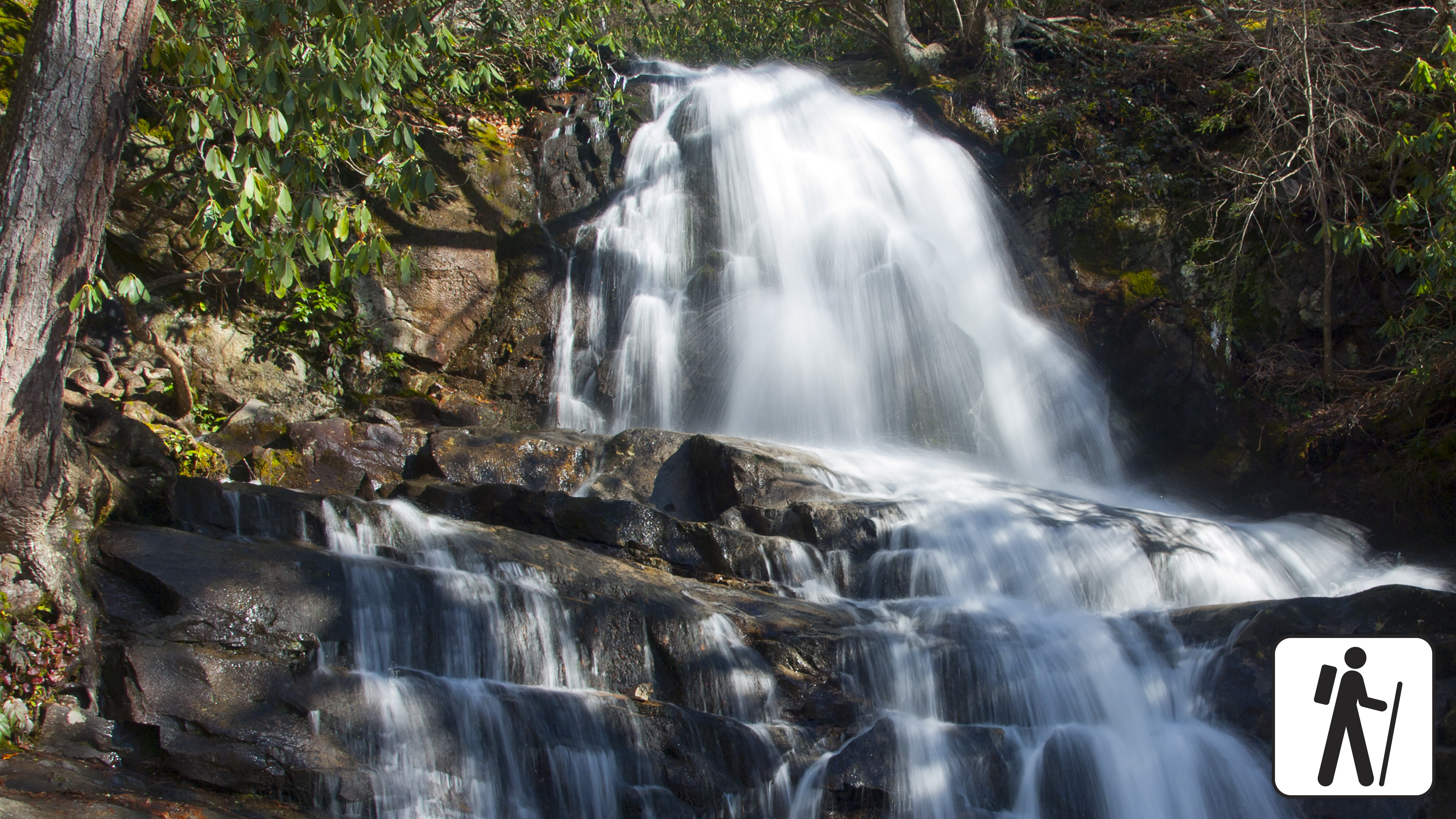
Hike 2.6 miles (4.2 km) roundtrip through a mixed hardwood forest to an 80-foot (24-m) waterfall in Great Smoky Mountains National Park . On the way, enjoy dense mountain laurel and rhododendron plus views of the mountain landscape before arriving at the waterfall.
Length
2.6 miles (4.2 km) roundtrip
Parking & Trailhead
Please consider a shuttle or park at Laurel Falls Trailhead on Little River Road 3 miles (4.8 km) west of Sugarlands Visitor Center, though these parking lots are often full due to this trail's popularity. Don't forget your parking tag .
Nearest Restroom
Sugarlands Visitor Center
Alternate Hikes
Little River, Cucumber Gap, Jakes Creek Loop : 5.4 miles (8.7 km) roundtrip
Grotto Falls : 4 miles (6.4 km) roundtrip
Lynn Camp Prong Cascades : 1.4 miles (2.3 km) roundtrip
Gatlinburg Trail : 4 miles (6.4 km) roundtrip
Pets The Gatlinburg Trail and Oconaluftee River Trail are the only two park trails where pets are permitted. Pets are also allowed in picnic areas, in campgrounds, and on roads.
Accessibility Some sections of the trail have cracked, uneven pavement.