
Kuwohi Trail
ViewsPeaksVisitor centersTowers
Along the way Kuwohi Kuwohi Tower Forney Ridge Overlook Kuwohi Overlook Kuwohi Visitor Center
Trailhead Kuwohi Trail Trailhead 6,310 ft Drive there
Hike to Kuwohi 1 mi round trip · the Park Service's write-up
no dogs · entrance fee applies
Start Expect crowds and full parking at Kuwohi—consider a shuttle
Overview
Expect extreme crowding and limited parking—consider a shuttle or alternate hikes listed below
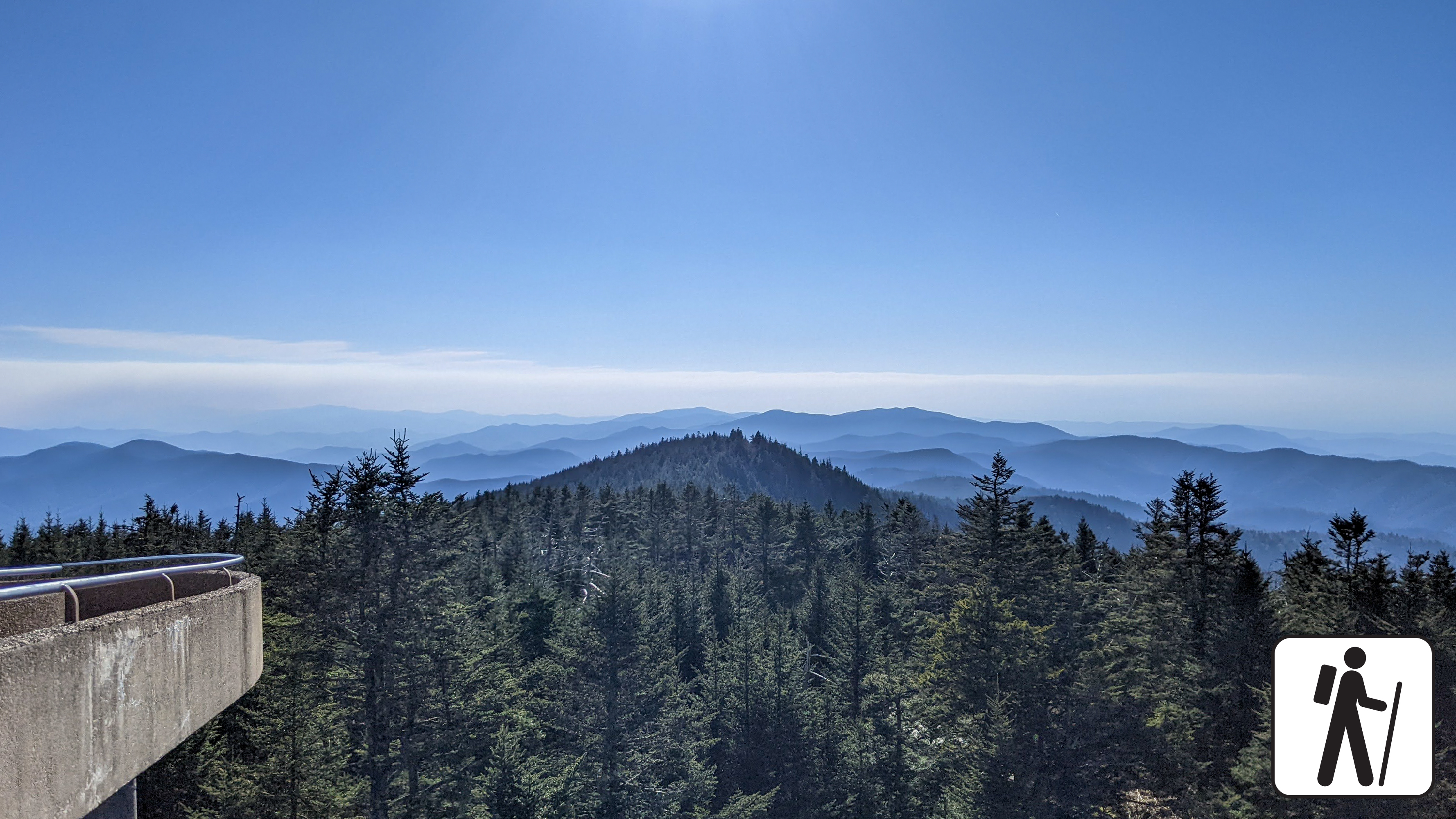
Walk one mile (1.6 km) roundtrip from the parking area along a steep, paved path to an iconic and popular observation tower with panoramic views from the highest peak in Great Smoky Mountains National Park .
Reach the observation tower from either the paved hike leading from the parking lot or the bypass trail, which begins at the Forney Ridge Trailhead and ascends towards the Appalachian Trail. The bypass trail offers visitors high-elevation solitude in what is often a congested area of the park. Along this short route, visitors can enjoy vistas of Sugarland Mountain and the Elkmont area of the Smokies.
Kuwohi Road (formerly known as Clingmans Dome Road) is closed in winter.
Length
1 mile (1.6 km) roundtrip
Parking & Trailhead
Consider a shuttle or park at the end of Kuwohi Road (formerly known as Clingmans Dome Road). The trail leaves from near the visitor information center. Don't forget your parking tag .
Nearest Restroom
Pit toilets near parking lot (closed in winter)
Alternate Hikes
Look Rock Tower : 0.8 miles (1.3 km) roundtrip
Andrews Bald : 3.6 miles (5.8 km) roundtrip
Pets The Gatlinburg Trail and Oconaluftee River Trail are the only two park trails where pets are permitted. Pets are also allowed in picnic areas, in campgrounds, and on roads.
Accessibility Trail is paved but very steep.