
Kephart Prong Trail
Shelters
Along the way Kephart Shelter
Trailhead Kephart Prong Trail Trailhead 2,732 ft Drive there
Hike Kephart Prong Trail to Historic CCC Camp 4 mi round trip · the Park Service's write-up
no dogs · entrance fee applies
Start Limited parking available at Kephart Prong Trailhead—consider a shuttle
Overview
Limited parking available at trailhead—consider a shuttle or see below for alternate hikes
Follow the flow of mountain streams 4 miles (6.4 km) roundtrip through hardwood forest and across several log footbridges to the remains of a CCC camp and the Kephart Shelter in Great Smoky Mountains National Park .
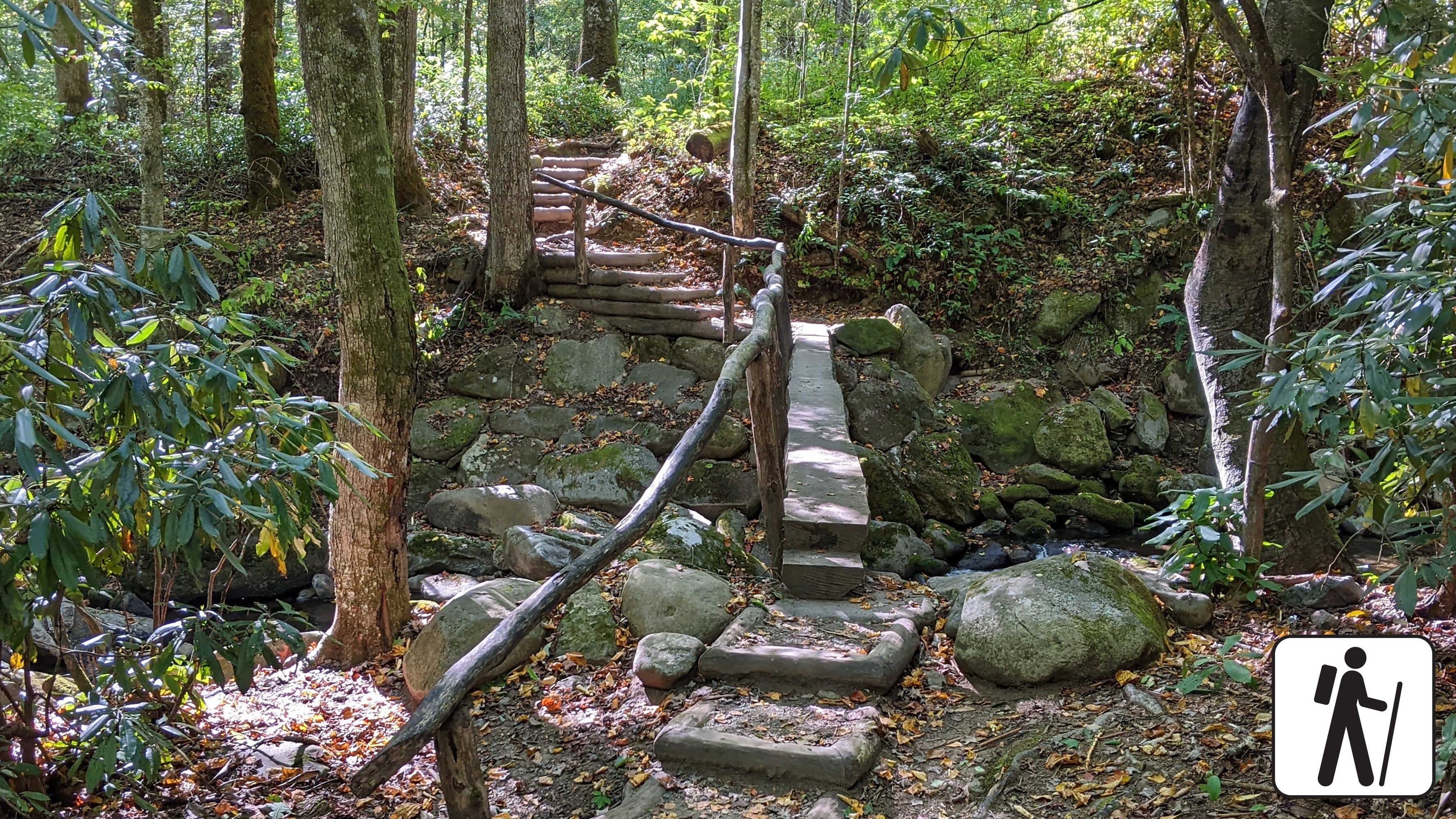
This trail follows the route of a formerly-paved jeep road and includes five railed footbridges that cross various streams. With a total elevation gain of 830 feet (253 m), many find this a leisurely trail.
Reservation and backcountry permit required to stay overnight at Kephart Shelter.
Length
4 miles (6.4 km) roundtrip
Parking & Trailhead
Please consider a shuttle or park at Kephart Prong Trailhead at a small, paved pull-off 5 miles (8 km) north of Smokemont Campground on Newfound Gap Road (US 441). Don't forget your parking tag .
Nearest Restroom
Collins Creek Picnic Area (open seasonally) south of the Kephart Prong Trailhead (restrooms also available at Oconaluftee Visitor Center )
Alternate Hikes
Lynn Camp Prong Cascades : 1.4 miles (2.3 km) roundtrip
Little River, Cucumber Gap, Jakes Creek Loop : 5.4 miles (8.7 km) roundtrip
Pets The Gatlinburg Trail and Oconaluftee River Trail are the only two park trails where pets are permitted. Pets are also allowed in picnic areas, in campgrounds, and on roads.
Accessibility Trail includes stairs and five railed footbridges that cross various streams.