
Indian Creek Trail
Waterfalls
Along the way Indian Creek Falls
Hike Deep Creek Trail to Indian Creek Falls 1.6 mi round trip · the Park Service's write-up
no dogs · entrance fee applies
Overview
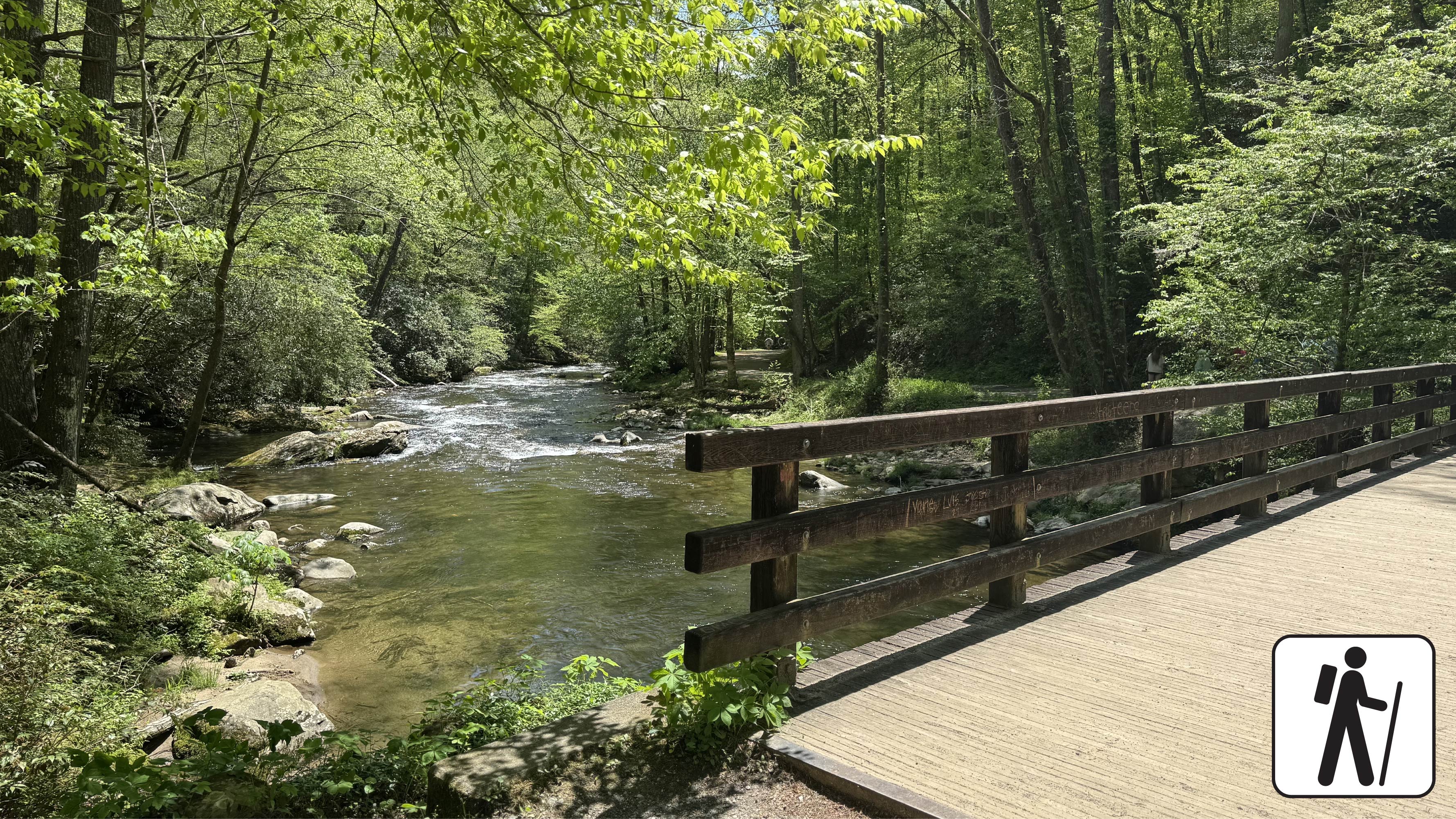
Hike 1.6 miles (2.6 km) roundtrip along Deep Creek, which features views of two waterfalls, Tom Branch Falls and Indian Creek Falls. The trail is a wide, gravel path with occasional roots and rocks. At approximately 0.3 miles (0.5 km), the trail flattens out near Tom Branch Falls. Take in the view on one of five benches before proceeding an additional 0.4 miles (0.6 km) to the Indian Creek Trail junction. After crossing the footbridge , there are three creek-side benches and one bench further up the trail with an elevated overlook of Deep Creek. Turn right at the junction with Indian Creek Trail and proceed 520 feet (161 m) to Indian Creek Falls on the left side of the trail. Proceed up-trail to see the waterfall below. Use caution when close to the edge of the trail.
Length
1.6 miles (2.6 km) roundtrip
Elevation Gain
160 ft (48.8 m)
Parking & Trailhead
Park at the end of Deep Creek Road to access the Deep Creek Trailhead past the Deep Creek Campground. Don't forget your parking tag .
Nearest Restroom
Deep Creek Campground (available seasonally)
Alternate Hikes
Take a longer route with the Deep Creek Waterfalls Loop 2.4 miles (3.9 km) roundtrip
Lynn Camp Prong Cascades : 1.4 miles (2.3 km) roundtrip
Little River, Cucumber Gap, Jakes Creek Loop : 5.4 miles (8.7 km) roundtrip
Pets The Gatlinburg Trail and Oconaluftee River Trail are the only two park trails where pets are permitted. Pets are also allowed in picnic areas, in campgrounds, and on roads.
Accessibility This section of trail has been assessed using the High-Efficiency Trail Assessment Process (HETAP) to provide objective information such as grade and slope. GRIT Freedom Chairs are available for free checkout on a first-come, first-served basis for this section of trail. The trail is a wide, gravel path with occasional roots and rocks. Use descriptions, maps, and photos to determine which hikes are suitable for you. For information about the reservation process and other trail segments where GRIT Freedom Chairs can be used, visit the trail accessibility page.