Great Smoky Mountains National Park · North Carolina, Tennessee

Goldmine Loop Trail

2.0 mi of trail, end to end · Hike Goldmine Loop via Tunnel Bypass Trail: 4 mi round trip in the Service's write-up · about 500 ft of climbing · 1,723 ft–2,236 ft · native surface · trail class Developed

2,131 ft 2,236 ft · 2.0 mi high 2,236 ft

Hike Goldmine Loop via Tunnel Bypass Trail 4 mi round trip · the Park Service's write-up

no dogs · entrance fee applies
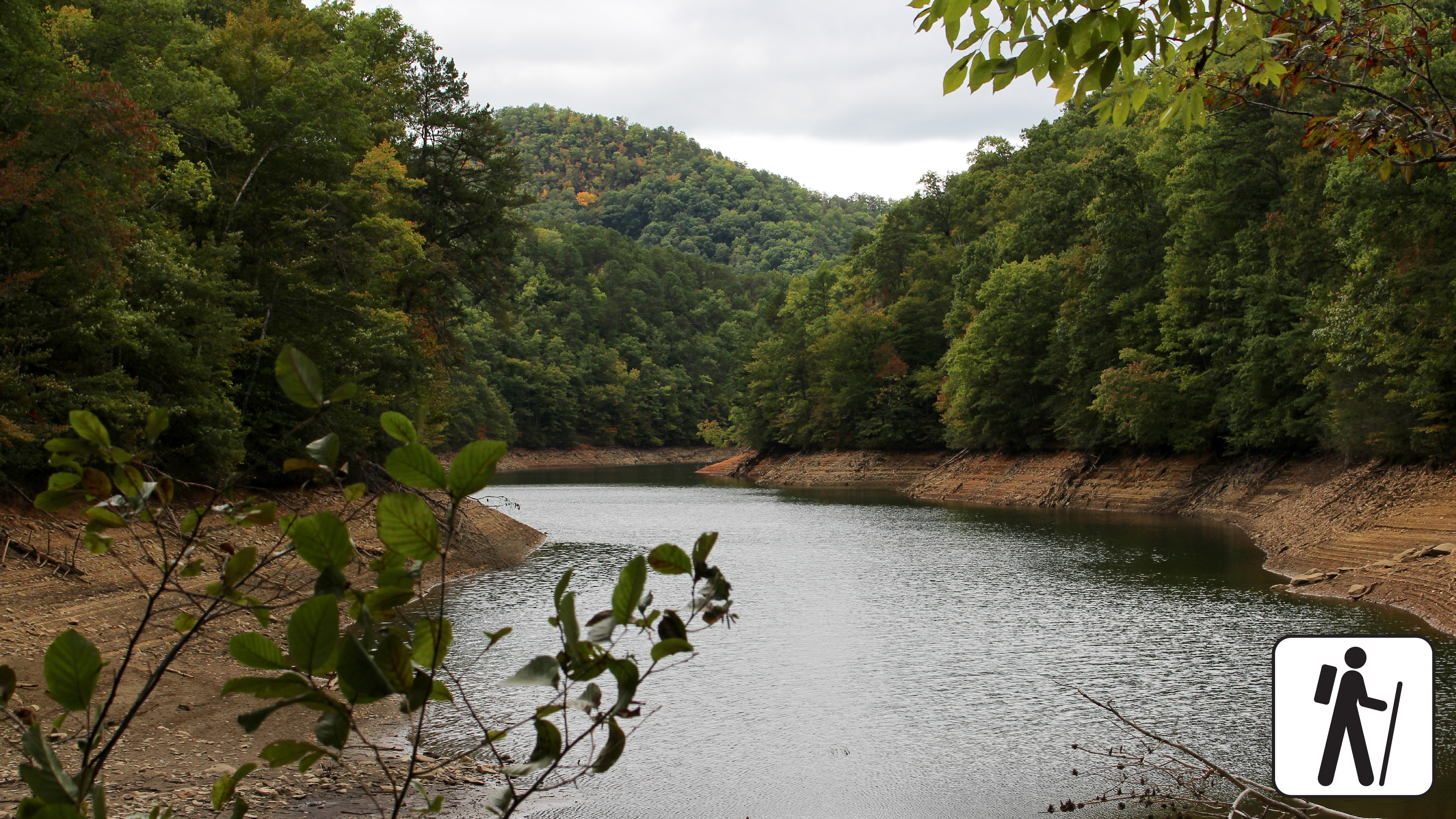
A small lake surrounded by trees and a rolling mountain in the background.
Hike 4 miles roundtrip from the Lakeshore Trailhead at the end of Lakeview Drive. Photo: NPS Photo

Overview

Hike 4 miles (6.4 km) on Lakeshore and Goldmine Loop trails through a hardwood forest filled with signs of old homesites and farms in Great Smoky Mountains National Park .

Exploring this area is pure gold, or at least that's what early European settlers originally thought. Although no significant amount of gold was ever found here, there are still plenty of signs that people used to live here. This trail is moderate but includes some rocky areas and some shallow stream crossings.

Length

4 miles (6.4 km) roundtrip

Parking & Trailhead

To reach the trailhead, park at the end of Lakeview Drive and hike 1 mile (1.6 km) down Lakeshore Trail. Goldmine Loop Trail will be on your left. Don't forget your parking tag .

Nearest Restroom

Facilities near Deep Creek or outside the park before arriving

Pets The Gatlinburg Trail and Oconaluftee River Trail are the only two park trails where pets are permitted. Pets are also allowed in picnic areas, in campgrounds, and on roads.

Accessibility Some rocky areas and shallow stream crossings.

This hike on nps.gov

All 244 trails in Great Smoky Mountains National ParkFind a trailOn the parks mapPark on nps.gov

About this trail's facts

The lines are the National Park Service's public trails layer, the trailheads and the waterfalls, views, peaks and historic places along them the Service's public points of interest, read 2026-10-16 and simplified for the map; the length is the line's, end to end. The write-ups are the Service's own "things to do" text, unedited. Heights come from USGS 3DEP through Terrain Tiles on AWS (Mapzen/Tilezen), read along each line and rounded; a short trail on steep ground can be off by a few tens of feet. Closures change: check the park's own site before you go.