
Gatlinburg Trail
Trailheads Gatlinburg Trail Trailhead 1,333 ft Drive there · Gatlinburg Trail Trailhead 1,419 ft Drive there · Gatlinburg Trail Trailhead 1,338 ft Drive there
Hike the Gatlinburg Trail 4 mi round trip · the Park Service's write-up
dogs allowed · entrance fee applies
Overview
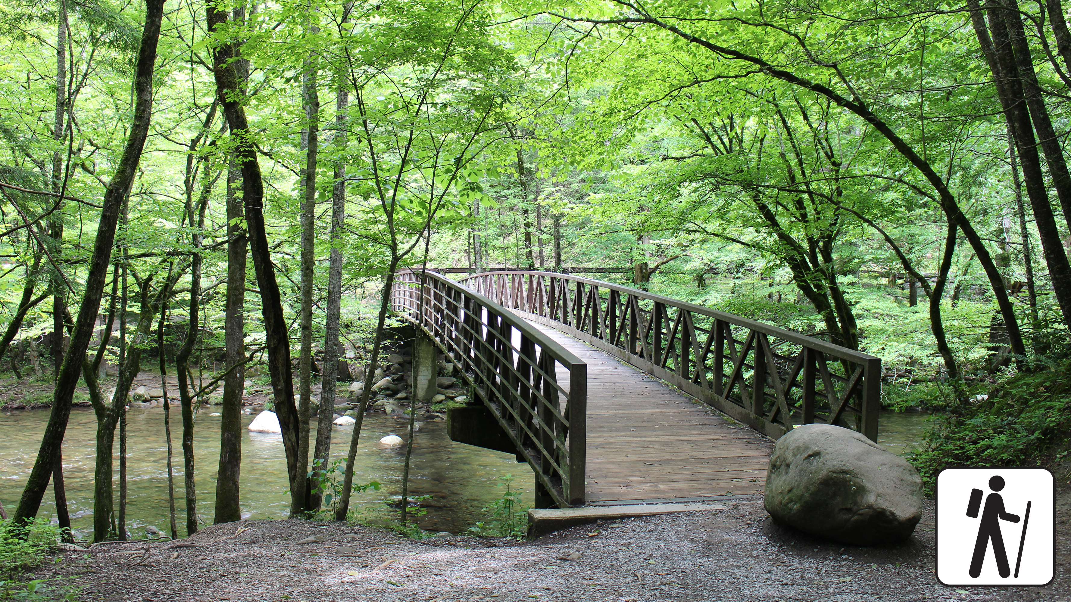
Enjoy a pleasant riverside stroll approximately 4 miles (6.4 km) roundtrip through a cove hardwood forest along one of the only dog- and bike-friendly trails in Great Smoky Mountains National Park .
This trail connects the Sugarlands Visitor Center with River Road in Gatlinburg. Near the visitor center, the trail includes sections of sidewalk and roadside, but after reaching the North District Maintenance Center, it turns into a wide, well-graded dirt path through the woods with a couple notable steeper sections. Historic stone chimneys are visible along this trail.
Length
Approximately 4 miles (6.4 km) roundtrip
Parking & Trailhead
Park at the Sugarlands Visitor Center and walk behind the building, past the restrooms, and past the brick headquarters building to the Gatlinburg Trailhead. Trail follows the road before continuing through the forest past the park maintenance area. Don't forget your parking tag .
Nearest Restroom
Sugarlands Visitor Center
Alternate Hikes
Oconaluftee River Trail : 3 miles (4.8 km) roundtrip
Little River, Cucumber Gap, Jakes Creek Loop : 5.4 miles (8.7 km) roundtrip
Big Creek Trail: varying lengths
Accessibility This trail is not ADA accessible. This trail has been assessed using the High-Efficiency Trail Assessment Process (HETAP) to provide objective information such as grade and slope. GRIT Freedom Chairs are available for free checkout on a first-come, first-served basis for this trail. The trail is relatively wide and flat, with sections of paved road, crushed stone, roots, and uneven dirt. A few steep sections plus occasional roots and rocks on the trail, but considered a leisurely path that is mostly flat and wide. Use descriptions, maps, and photos to determine which hikes are suitable for you. For information about the reservation process and other trail segments where GRIT Freedom Chairs can be used, visit the trail accessibility page.