
Gabes Mountain Trail
WaterfallsHistoryBackcountry campsGaps
Along the way #34 Sugar Cove Bearneck Gap Jennifer Cemetery Sallie Sutton Cemetery Hen Wallow Falls
Trailheads Gabes Mountain Trail Trailhead 2,165 ft Drive there · Gabes Mountain Trail Trailhead 2,299 ft Drive there
Hike to Hen Wallow Falls 4.3 mi round trip · the Park Service's write-up
no dogs · entrance fee applies
Overview
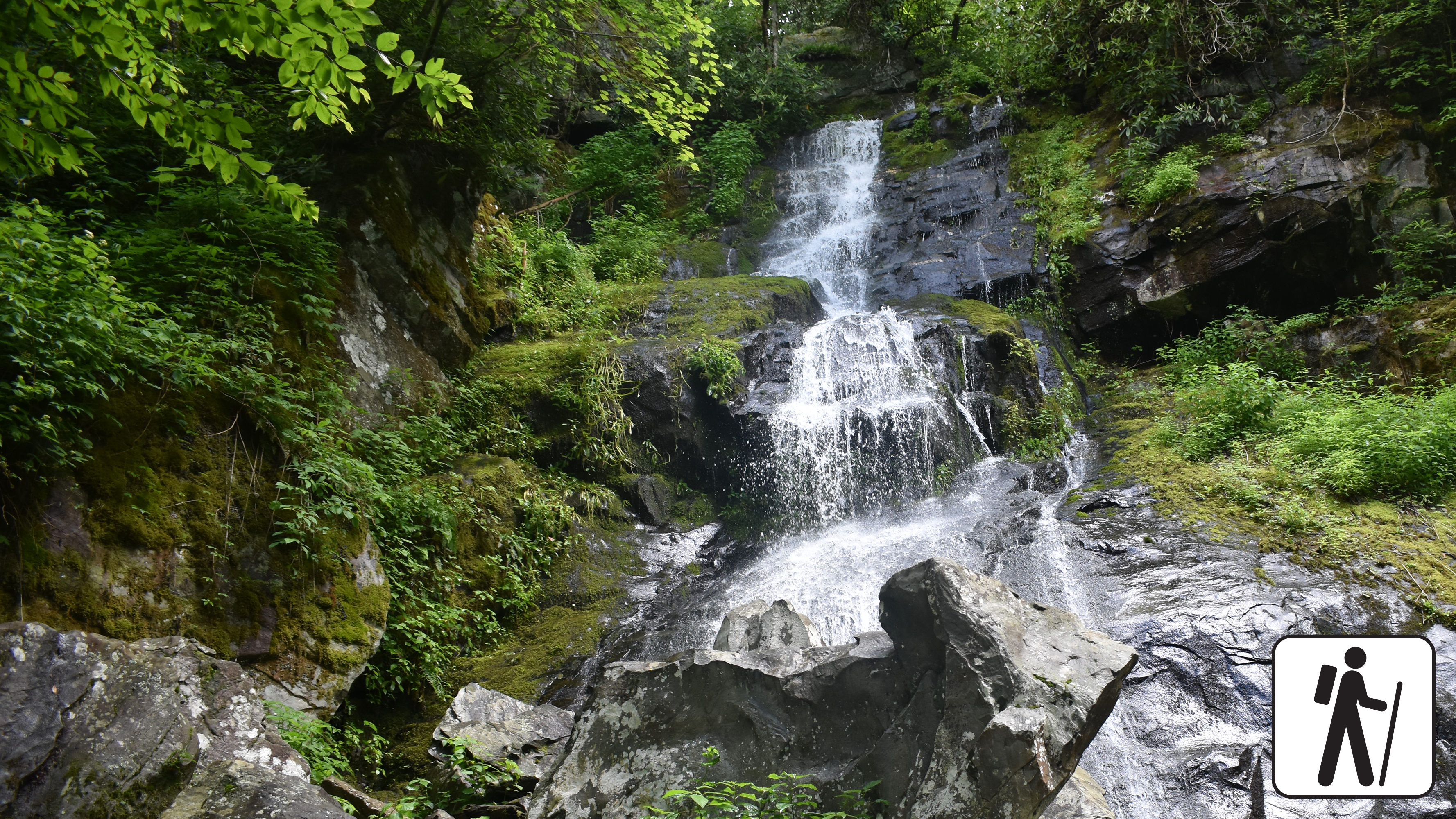
Hike 4.3 miles (6.9 km) roundtrip through a hardwood forest with hemlock and rhododendron to a popular 90-foot (27-m) waterfall in Great Smoky Mountains National Park .
This trail includes some steep sections and switchbacks. Hen Wallow Creek, only two feet wide at the top of the falls, separates into two streams and fans out to 30 feet at it tumbles to the base of the falls. If you look carefully, you can often see salamanders in the pool at the bottom. Hikers continuing on the Gabes Mountain Trail beyond the falls can enjoy an impressive old-growth forest.
Length
4.3 miles (6.9 km) roundtrip
Parking & Trailhead
Park in the designated hiker parking area at Cosby Picnic Area near the entrance to Cosby Campground and backtrack on foot approximately 100 yards along the entrance road to the signed start of Gabes Mountain Trail. Don't forget your parking tag .
Nearest Restroom
Cosby Picnic Area
Alternate Hikes
Lynn Camp Prong Cascades : 1.4 miles (2.3 km) roundtrip
Mouse Creek Falls : 4 miles (6.4 km) roundtrip
Pets The Gatlinburg Trail and Oconaluftee River Trail are the two park trails where pets are permitted. Pets are also allowed in picnic areas, in campgrounds, and on roads.
Accessibility Hike has steep sections and tree roots across multiple sections of trail.