
Forney Ridge Trail
PeaksGaps
Along the way Board Camp Gap Andrews Bald
Hike to Andrews Bald 3.6 mi round trip · the Park Service's write-up
no dogs · entrance fee applies
Start Expect crowds and full parking at Kuwohi to access Forney Ridge Trailhead—consider a shuttle
Overview
Expect extreme crowding and limited parking—consider a shuttle or alternate hikes listed below
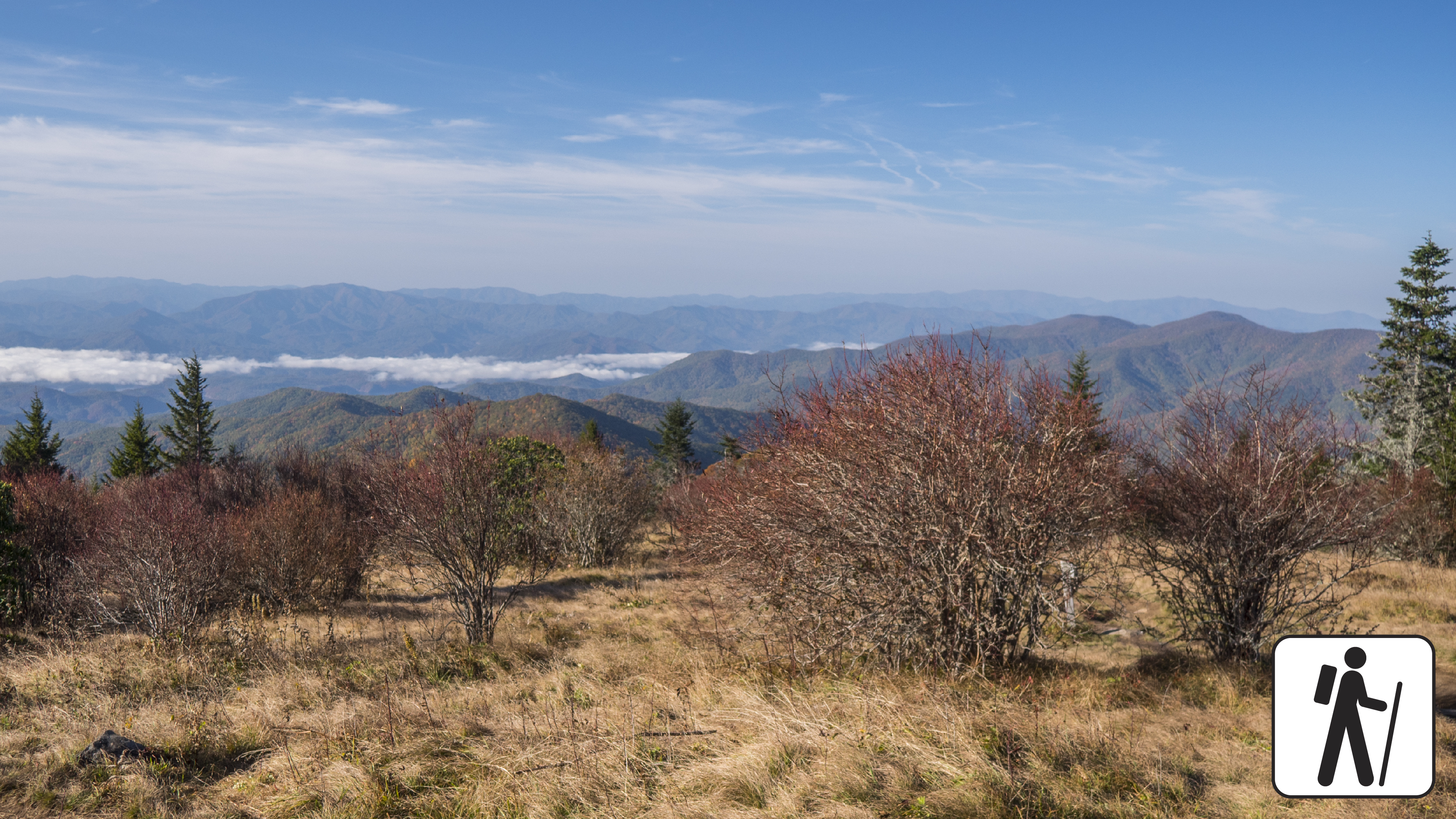
Hike 3.6 miles (5.8 km) roundtrip in Great Smoky Mountains National Park descending through high-elevation, spruce-fir forest to a popular grassy bald known for its flowering azaleas in summer and views of the surrounding mountains.
The trail is wide and graveled and descends many stairs before the first junction. It narrows to a well-trodden dirt path. The return hike to the trailhead involves a relatively strenuous climb, but hikers will enjoy the company of dark-eyed juncos and other high-elevation birds along the way.
Length
3.6 miles (5.8 km) roundtrip
Parking & Trailhead
Please consider a shuttle or park at the Kuwohi (formerly Clingmans Dome) parking area (closed in winter). Forney Ridge Trailhead is on the left just before the visitor information center. Don't forget your parking tag .
Nearest Restroom
Pit toilets available seasonally at Kuwohi (formerly Clingmans Dome) parking area.
Alternate Hikes
Gregory Bald: 11.4 miles (18.3 km) roundtrip
Pets The Gatlinburg Trail and Oconaluftee River Trail are the only two park trails where pets are permitted. Pets are also allowed in picnic areas, in campgrounds, and on roads.
Accessibility Trail has steep sections, stairs, and narrow parts.