
Cooper Road Trail
Backcountry campsCampgrounds
Along the way #01 Cooper Road Abrams Creek Campground
Trailhead Cooper Road Trail Trailhead 1,821 ft Drive there
Hike Cooper Road Trail 10.9 mi one way · the Park Service's write-up
no dogs · entrance fee applies
Overview
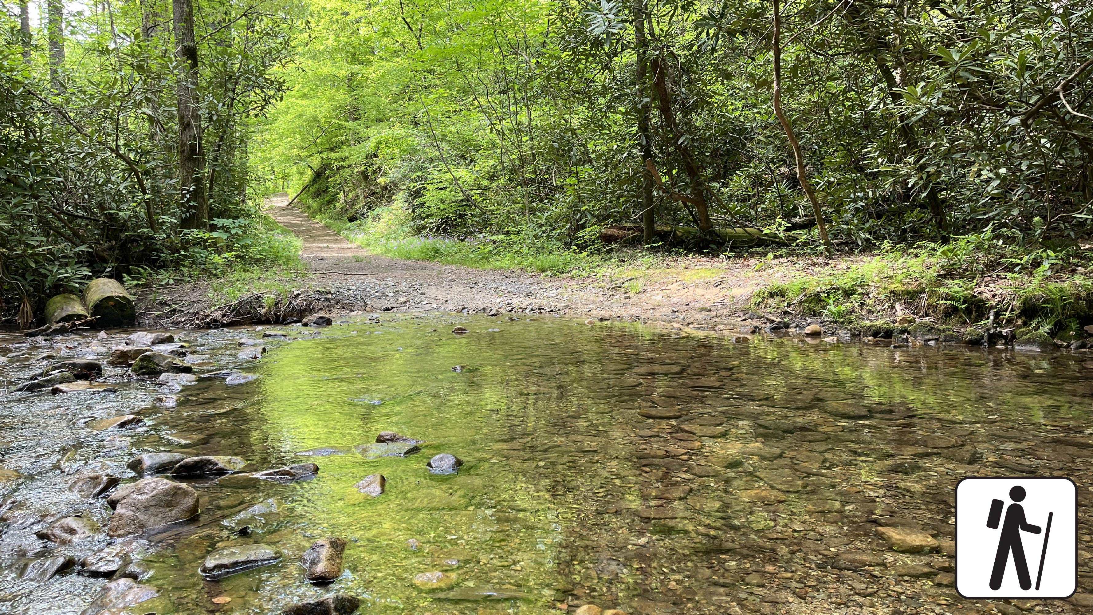
This trail was historically used to travel in and out of Cades Cove by Native Americans, early settlers, and the logging industry. These days, the Cooper Road Trail is the road less traveled. The wide trail is a former road that begins as gravel and transitions to dirt with roots, rocks, depressions and numerous stream crossings.
Length
10.9 miles (17.5 km) from Abrams Creek Campground to Cades Cove Loop Road.
Parking & Trailhead
Cooper Road Trail has two trailheads:
Abrams Creek: Park at Abrams Creek Ranger Station located on Abrams Creeks Campground Road. The Cooper Road trailhead is located at the end of the campground loop.
Cades Cove Loop Road: Drive 4.3 miles on Cades Cove Loop Road from the beginning of the loop. Look for trail signs on the right and park on the left.
No matter which trailhead you use, don't forget your parking tag .
Nearest Restroom
Nearest restroom to Abrams Creek trailhead: Available seasonally in Abrams Creek Campground .
Nearest restoom to Cades Cove trailhead: Restrooms, including accessible restrooms, are available at the Cades Cove Visitor Center .
Pets The Gatlinburg Trail and Oconaluftee River Trail are the only two park trails where pets are permitted. Pets are also allowed in picnic areas, in campgrounds, and on roads.
Accessibility The first mile of this trail from the Abrams Creek trailhead has been assessed using the High-Efficiency Trail Assessment Process (HETAP) to provide objective information such as grade and slope. GRIT Freedom Chairs are available for free checkout on a first-come, first-served basis for this section, which runs from Abrams Creek Campground to backcountry campsite #1. The trail begins with gravel and transitions to dirt with roots, rocks, and depressions. Note: Cooper Road Trail has two trailheads: Abrams Creek and Cades Cove Loop Road. Use descriptions, maps, and photos to determine which hikes are suitable for you. For information about the reservation process and other trail segments where GRIT Freedom Chairs can be used, visit the trail accessibility page.