
Chimney Tops Trail
Trailhead Chimney Tops Trail Trailhead 3,438 ft Drive there
Hike to Chimney Tops Overlook 3.5 mi round trip · the Park Service's write-up
no dogs · entrance fee applies
Start Expect crowds and full parking at Chimney Tops Trailhead—consider a shuttle
Overview
Expect extreme crowding and limited parking—consider a shuttle
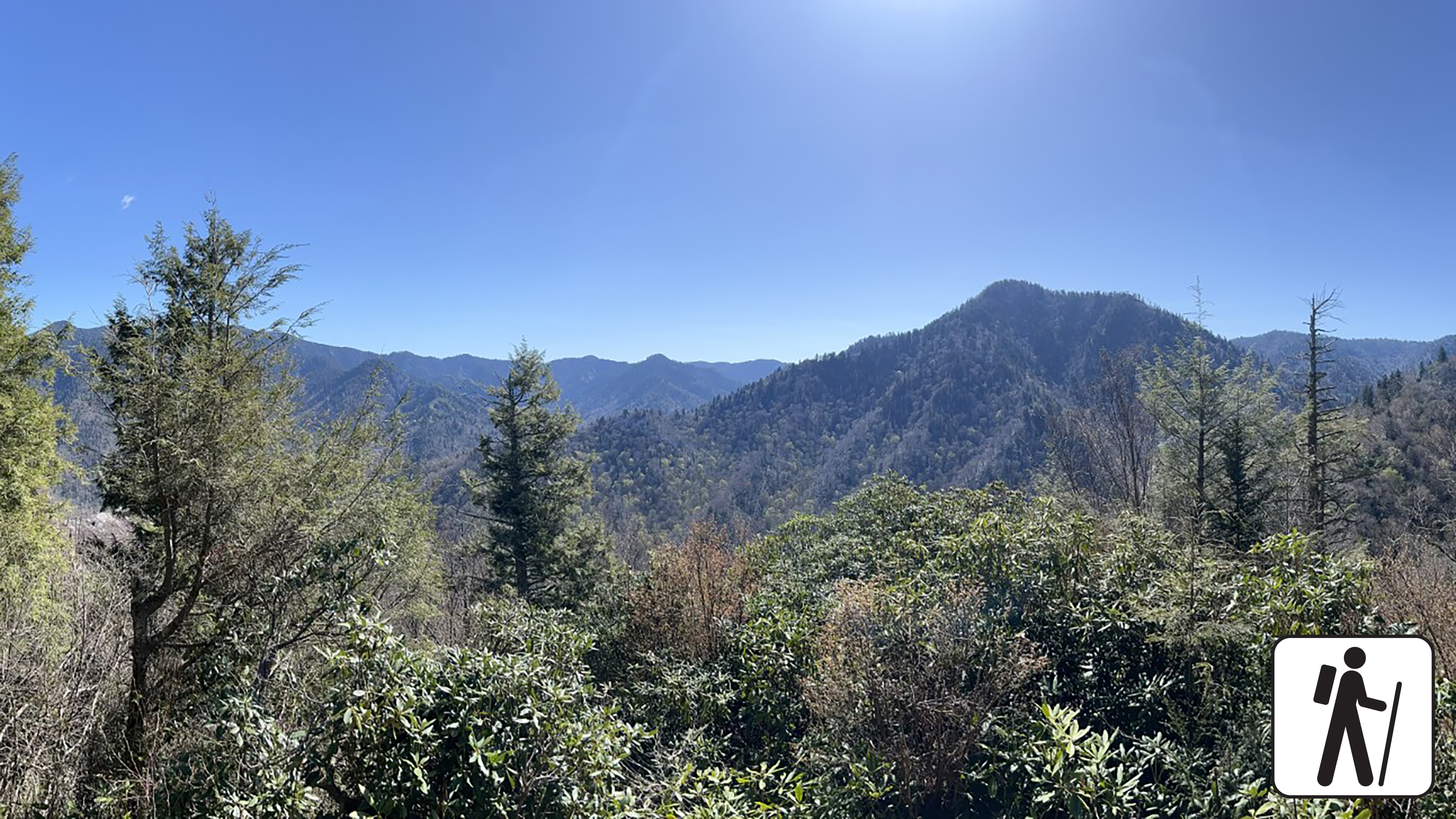
Hike 3.5 miles (5.6 km) roundtrip with steep inclines, a few early bridge crossings, and stone stairs that deliver hikers to a picturesque view in Great Smoky Mountains National Park .
In November 2016, this area experienced an unprecedented wildfire which changed the landscape, making it vulnerable to erosion and other hazards. Do not enter the closed area and do not put yourself at risk. Please read the closed sign and do not go past the gate.
To preserve habitat and for the safety of all visitors, please adhere to all trail closures.
Length
3.5 miles (5.6 km) roundtrip
Parking & Trailhead
Please consider a shuttle or park at the Chimney Tops Trailhead on Newfound Gap Road (US 441), roughly 7 miles (11.3 km) from Sugarlands Visitor Center and 22 miles (35.4 km) from Oconaluftee Visitor Center. Don't forget your parking tag .
Alternative Hikes
West Prong: 5.4 miles (8.7 km) roundtrip
Cove Hardwood Nature Trail : 0.75 miles (1.2 km) roundtrip
Nearest Restroom
Sugarlands Visitor Center
Pets The Gatlinburg Trail and Oconaluftee River Trail are the two park trails where pets are permitted. Pets are also allowed in picnic areas, in campgrounds, and on roads.
Accessibility Trail is steep with stairs and other trail obstacles like roots and rocks.