
Chestnut Top Trail
PeaksGaps
Along the way Bryant Gap Chestnut Top Lead
Trailhead Chestnut Top Trail Trailhead 1,137 ft Drive there
Hike on Chestnut Top Trail 5.6 mi round trip · the Park Service's write-up
no dogs · entrance fee applies
Overview
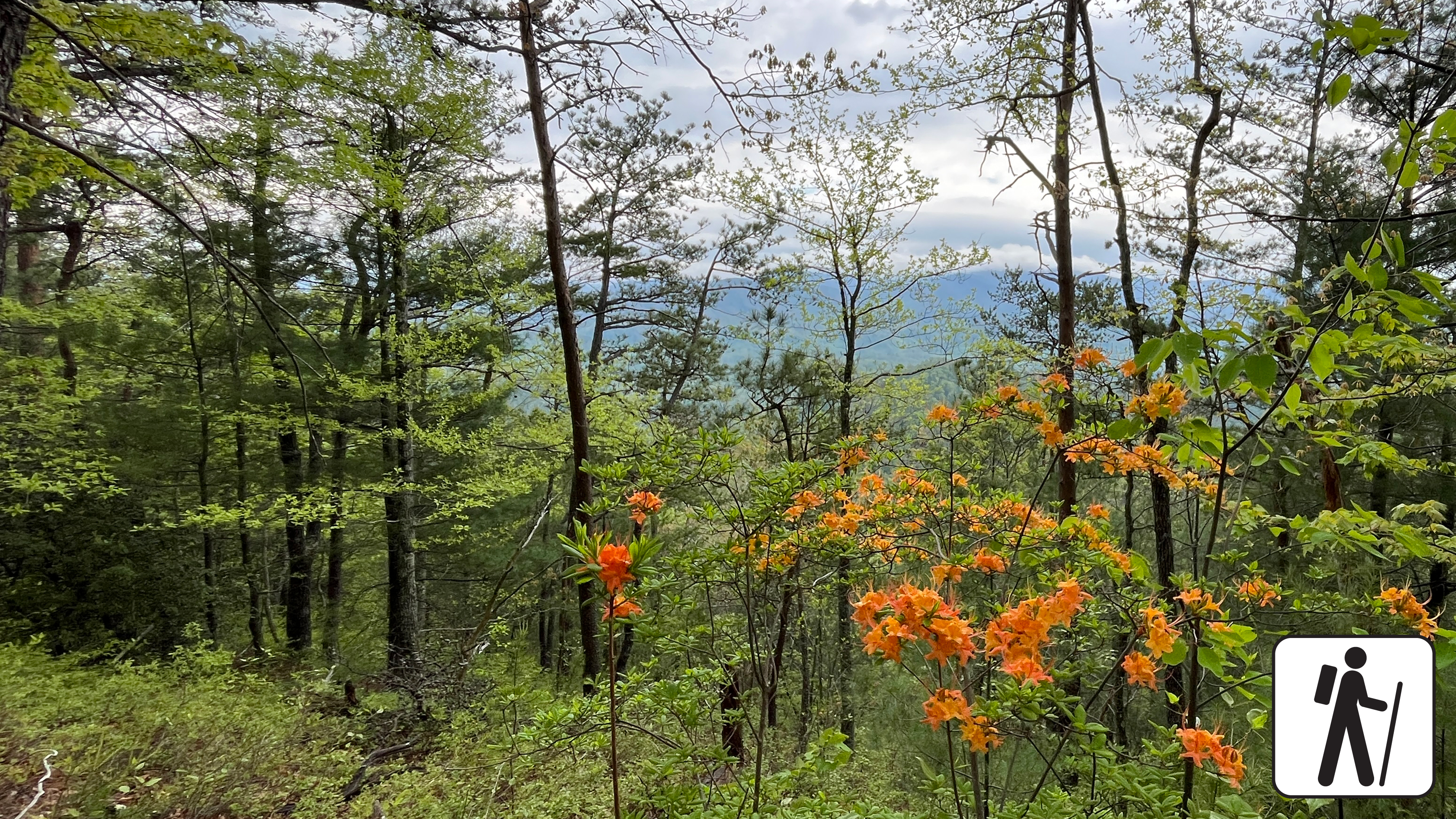
Hike 5.6 miles (9 km) roundtrip on a trail in Great Smoky Mountains National Park that climbs steadily through mixed hardwood forest to a ridgetop where American chestnut trees were once abundant.
The vast majority of American chestnut trees succumbed to an imported fungus by the 1950s, but fall leaf color and plentiful spring wildflowers remain a draw on this serene trail.
Length
5.6 miles (9 km) roundtrip
Turnaround location is not designated but noticeable by views to the left and a slight clearing. Trail continues roughly 1.5 additional miles (2.4 km) to the intersection with Schoolhouse Gap Trail. Plan ahead and bring a map.
Parking & Trailhead
Park at the Townsend Wye intersection of Little River Road and Townsend Entrance Road. Chestnut Top Trailhead is on the opposite side of the road from the parking lot. Don't forget your parking tag .
Nearest Restroom
Townsend Visitor Center
Alternate Hikes
Lynn Camp Prong Cascades : 1.4 miles (2.3 km) roundtrip
Rich Mountain Loop Trail: 8.5 miles (13.7 km) roundtrip
Pets The Gatlinburg Trail and Oconaluftee River Trail are the only two park trails where pets are permitted. Pets are also allowed in picnic areas, in campgrounds, and on roads.
Accessibility Trail steadily climbs on a sometimes-narrow path with some tree roots and fallen logs.