
Chasteen Creek Trail
WaterfallsBackcountry camps
Along the way #48 Upper Chasteen #50 Lower Chasteen Creek Chasteen Creek Cascade
Hike to Chasteen Creek Cascade 3.6 mi round trip · the Park Service's write-up
no dogs · entrance fee applies
Overview
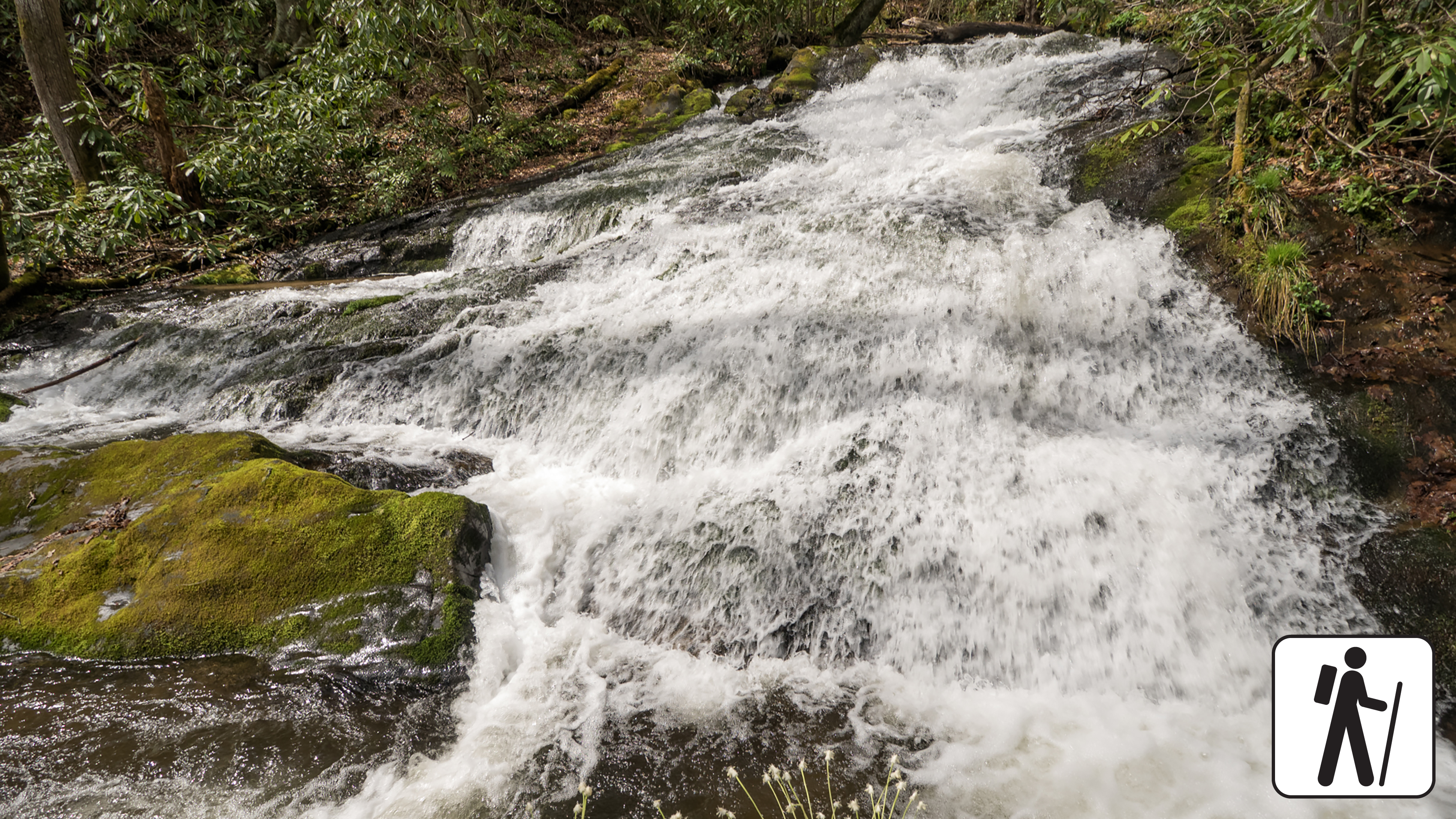
Hike 3.6 miles (5.8 km) roundtrip through hardwood forest in Great Smoky Mountains National Park following the path of the Bradley Fork of the Oconaluftee River to a peaceful cascade that slides 15 feet (4.6 m) down smoothly worn standstone.
This section of the Bradley Fork Trail is a popular wooded adventure for hikers and horse-riders who are departing from the Smokemont Campground area. Wooded views are interspersed with open areas and thin forests of flowering dogwood, yellow birch, sycamore, and tuliptree.
Length
3.6 miles (5.8 km) roundtrip
Parking & Trailhead
The Bradley Fork Trailhead is on the far north end of Smokemont Campground Road. Don't forget your parking tag .
Nearest Restroom
Smokemont Campground (available year-round)
Alternate Hikes
Smokemont Loop Trail: 6.1 miles (9.8 km) roundtrip
Towstring Trail: 4 miles (6.4 km) roundtrip
Newton Bald Trail: 9.4 miles (15.1 km) roundtrip
Pets The Gatlinburg Trail and Oconaluftee River Trail are the only two park trails where pets are permitted. Pets are also allowed in picnic areas, in campgrounds, and on roads.
Accessibility Trail has occasional obstacles of roots and rocks.