
Bullhead Trail
Hike to Mount Le Conte on Bullhead Trail 13.6 mi round trip · the Park Service's write-up
no dogs · entrance fee applies
Start Expect crowds and full parking at Rainbow Falls/Bullhead Trailhead—consider a shuttle
Bullhead trail is closed Monday - Thursday for trail rehabilitation. Learn more about this closure.
Overview
Expect extreme crowding and limited parking—consider a shuttle and alternate hikes listed below
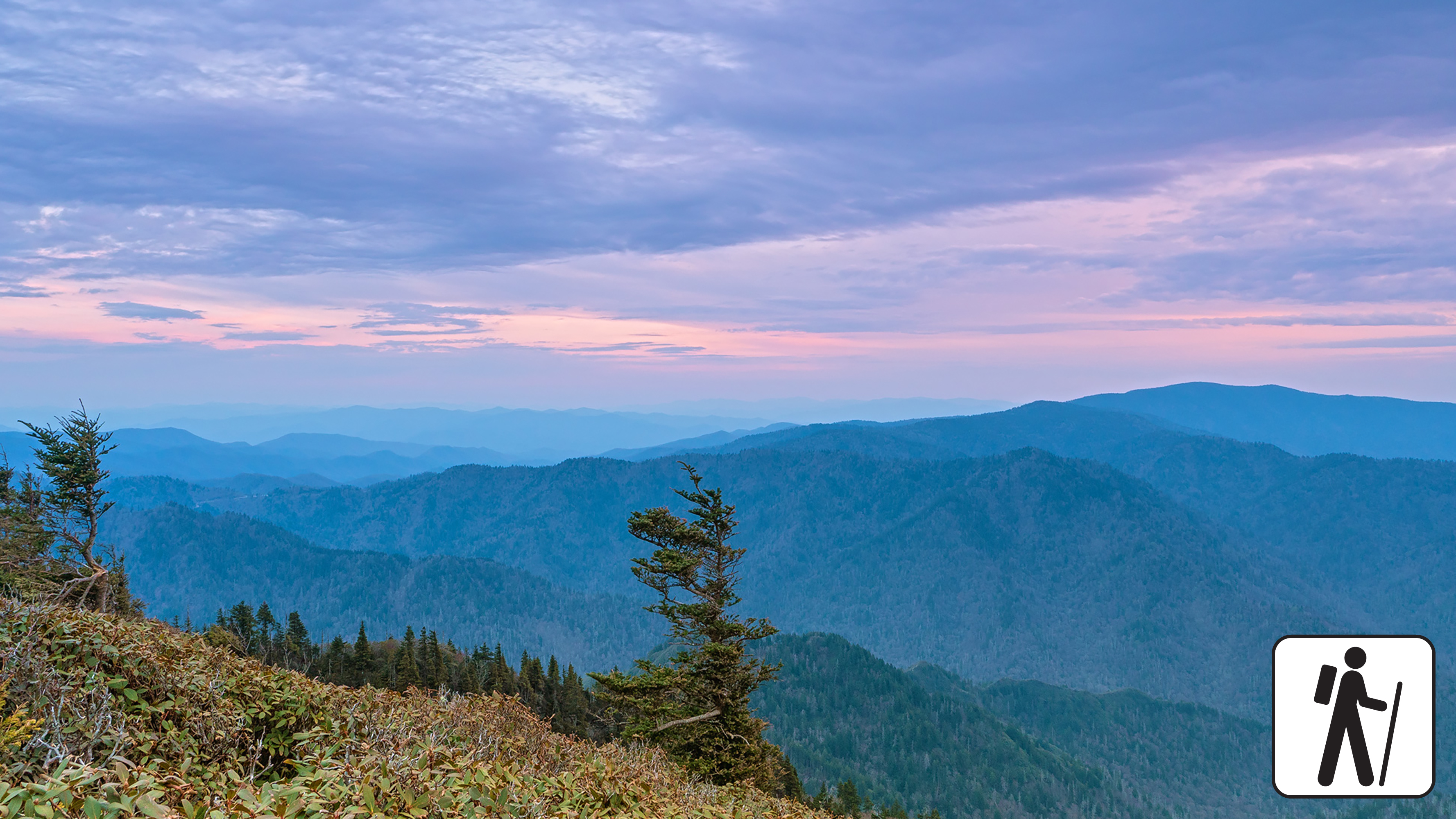
One of five routes to Mount Le Conte in Great Smoky Mountains National Park , the Bullhead Trail offers consistent views along the way. This strenuous hike is 13.6 miles (21.9 km) roundtrip. See rocky cliffs near the beginning and climb the Bullhead, a heath-covered bald that may resemble a bull's head from a distance.
Near the top, proceed straight at both the Rainbow Falls Trail and Alum Cave Trail junctions to arrive at Mount Le Conte. Partially due to the burn remnants of the 2016 Chimney Tops fire, the trail does not offer much shade during hot summer months.
From the parking area on Cherokee Orchard Road, follow the nearby gravel road (technically the Old Sugarlands Trail) for four-tenths of a mile (0.6 km) to the Bullhead Trail junction on your left. Consult a map to pair this with Rainbow Falls Trail or Trillium Gap Trail to create a loop hike to Mount LeConte (total mileages will vary).
In cold weather, prepare for ice on the trail and potential falling icicles. Microspikes (chains or small spikes to slip on shoes for better traction) recommended in winter.
Length
13.6 miles (21.9 km) roundtrip
Parking & Trailhead
Please consider a shuttle or park at Rainbow Falls/Bullhead Trailhead on Cherokee Orchard Road (follow Old Sugarlands Trail from the parking area to arrive at Bullhead Trail). Don't forget your parking tag .
Nearest Restroom
Pit toilets at Rainbow Falls Trailhead
Alternate Hikes
Appalachian Trail & Boulevard Trail to Mount Le Conte : 16.2 miles (26.1 km) roundtrip
Trillium Gap Trail to Mount Le Conte : 13 miles (20.9 km) roundtrip
Rainbow Falls Trail to Mount Le Conte : 13 miles (20.9 km) roundtrip
Alum Cave Trail to Mount Le Conte : 10 miles (16.1 km) roundtrip
Pets The Gatlinburg Trail and Oconaluftee River Trail are the only two park trails where pets are permitted. Pets are also allowed in picnic areas, in campgrounds, and on roads.
Accessibility Trail is very steep and rocky.