
Bradley Fork Trail
WaterfallsHistory
Along the way Tom Huskey's Child Cemetery Hitchin Post Falls Taywa Creek Cascade
Trailhead Bradley Fork Trail Trailhead 2,247 ft Drive there
Hike Bradley Fork Trail 2.4 mi round trip · the Park Service's write-up
no dogs · entrance fee applies
Start Trailhead located in the Smokemont Campground.
a { text-decoration: none; color: #464feb; } tr th, tr td { border: 1px solid #e6e6e6; } tr th { background-color: #f5f5f5; } Overview
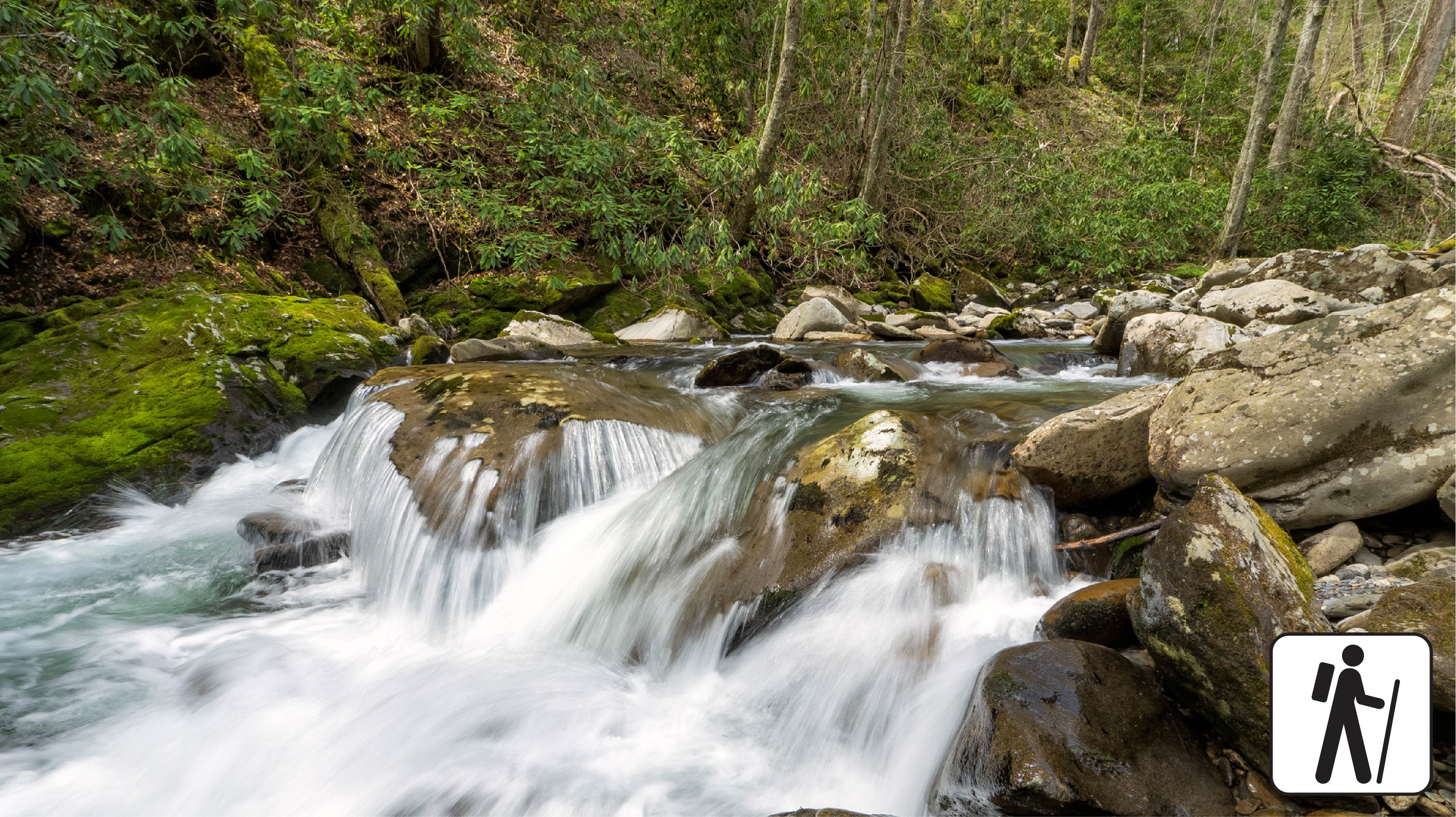
The Bradley Fork Trail offers a scenic and diverse outdoor experience, featuring picturesque creeks surrounded by dog hobble and rhododendron, seasonal wildflowers, fishing access, horseback riding opportunities, and backcountry camping .
The trail begins as a flat, wide old roadbed and gently ascends for the first 4 miles toward the Hughes Ridge Trail, with all creek crossings bridged. At 1.2 miles, hikers reach the Chasteen Creek Trail junction, which leads 0.1 miles to backcountry campsite #50. At mile 4, the trail intersects with the Cabin Flats Trail, where it becomes steep and narrow, transitioning into rocky terrain that requires extra caution. This rugged section continues until the trail ends at the Hughes Ridge Trail, offering a more challenging hike through the backcountry. A backcountry permit is required to camp at the site.
Parking & Trailhead
Hikers should access this trail from the back of Smokemont Campground , at the far end of the D loop, where a small parking area is avalible. Don't forget your parking tag !
Nearest Restroom
Smokemont Campground
Alternate Hikes
Deep Creek Waterfall Loop : 2.4 miles (3.9 km) roundtrip
Little River, Cucumber Gap, Jakes Creek Loop : 5.4 miles (8.7 km) roundtrip
Oconaluftee River Trail : 3 miles (4.8 km) roundtrip
Kephart Prong Trail : 4 miles (6.4 km) roundtrip
Accessibility a { text-decoration: none; color: #464feb; } tr th, tr td { border: 1px solid #e6e6e6; } tr th { background-color: #f5f5f5; } This trail is not ADA accessible. GRIT Freedom Chairs are available free of charge on a first-come, first-served basis for use on a portion of this trail. These all-terrain mobility devices can be used for the first 1.3 miles , starting from the back of Smokemont Campground and leading to Campsite #50 . Please note: The trail surface includes uneven dirt, rocks, and gravel , with sections of exposed roots and large rocks that may affect travel for wheelchair or mobility device users. There are a few steep sections along the route. Use descriptions, maps, and photos to determine which hikes are suitable for you. For information about the reservation process and other trail segments where GRIT Freedom Chairs can be used, visit the trail accessibility page.