
Boulevard Trail
PeaksSheltersGaps
Along the way Alum Gap High Top MtLeConte Shelter
Hike to Mount Le Conte on the Appalachian Trail and Boulevard Trail 16.2 mi round trip · the Park Service's write-up
no dogs · entrance fee applies
Start Expect crowds and full parking at Newfound Gap Overlook—consider a shuttle
Overview
Expect extreme crowding and limited parking—consider a shuttle and alternate hikes listed below
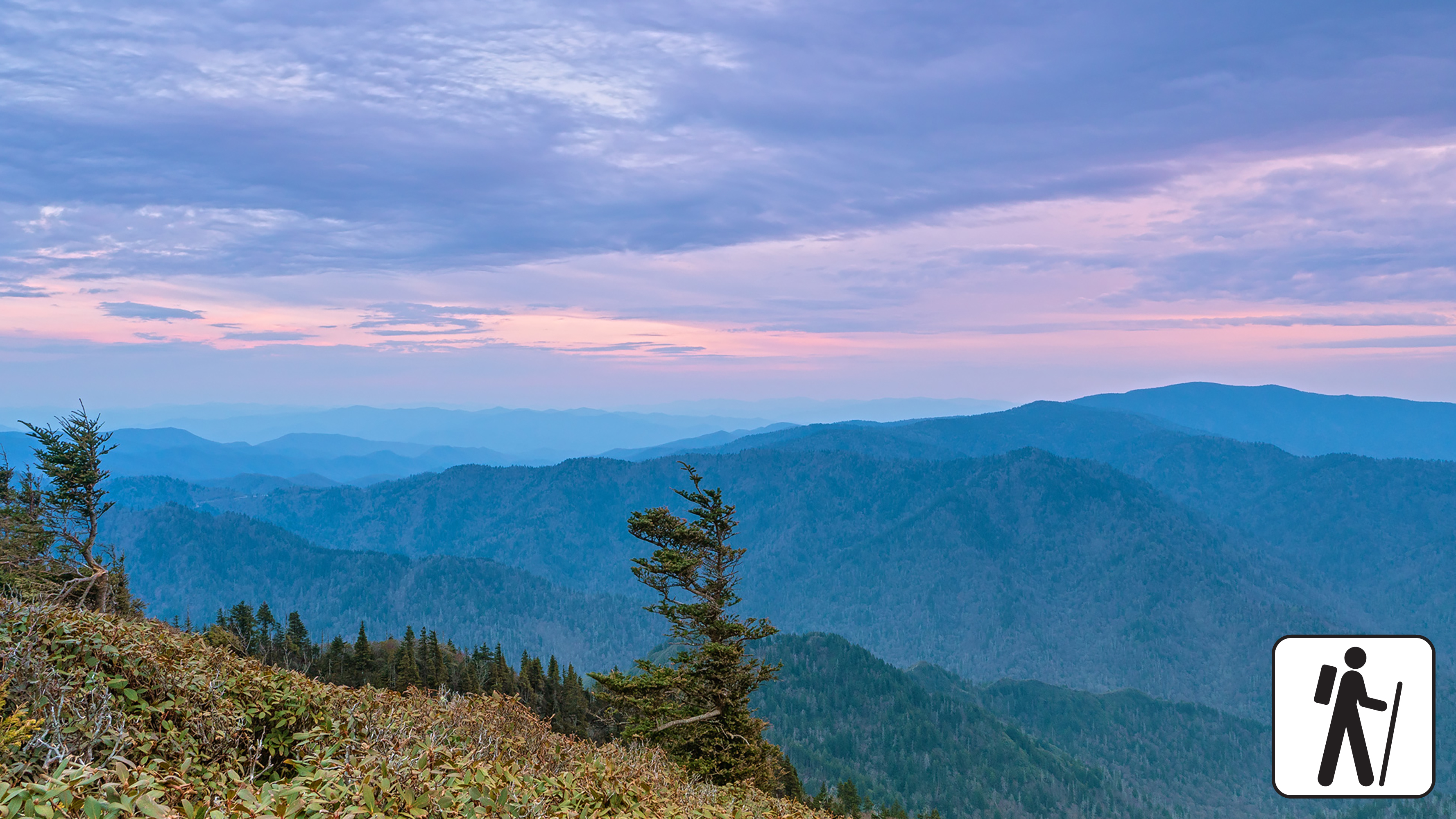
The longest of the five routes to Mount Le Conte, this strenuous hike—16.2 miles (26.1 km) roundtrip—offers a variety of views in Great Smoky Mountains National Park and includes part of the Appalachian Trail. Charlies Bunion , a rocky outcrop, is a short but rewarding detour. High-elevation forest lines the trail and visitors might spot red squirrels or other wildlife.
In cold weather, prepare for ice on the trail and potential falling icicles. Microspikes (chains or small spikes to slip on shoes for better traction) recommended in winter.
Length
16.2 miles (26.1 km) roundtrip
Parking & Trailhead
Please consider a shuttle or park at Newfound Gap Overlook on US 441/Newfound Gap Road. From the Appalachian Trailhead (left of the overlook), hike for 2.7 miles (4.3 km) to intersect the Boulevard Trail which then leads to the summit. Don't forget your parking tag .
Nearest Restroom
Pit toilets at Newfound Gap Overlook
Alternate Hikes
Charlies Bunion : 8 miles (12.9 km) roundtrip
Bullhead Trail to Mount Le Conte : 13.6 miles (21.9 km) roundtrip
Trillium Gap Trail to Mount Le Conte : 13 miles (20.9 km) roundtrip
Rainbow Falls Trail to Mount Le Conte : 13 miles (20.9 km) roundtrip
Alum Cave Trail to Mount Le Conte : 10 miles (16.1 km) roundtrip
Pets The Gatlinburg Trail and Oconaluftee River Trail are the only two park trails where pets are permitted. Pets are also allowed in picnic areas, in campgrounds, and on roads.
Accessibility Trail is steep with occasional obstacles like roots and rocks.