
Bote Mountain Trail
Gaps
Along the way Hickory Tree Gap Sandy Gap
Trailhead Bote Mountain Trail Trailhead 1,592 ft Drive there
Hike the Finley Cane, Bote Mountain, Lead Cove Loop 6.9 mi loop · the Park Service's write-up
no dogs · entrance fee applies
Overview
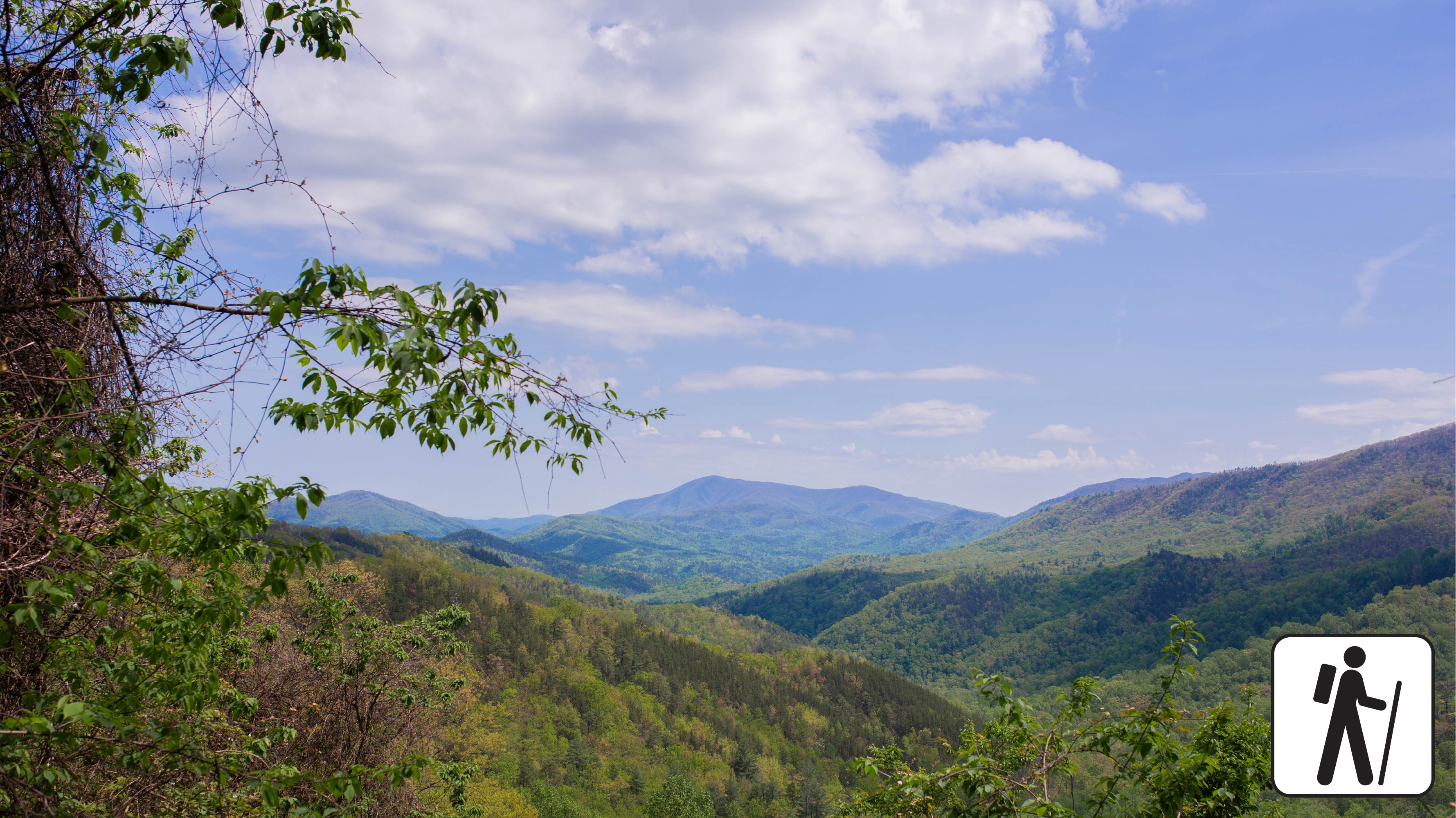
This loop hike links three shorter trails sections, offering hikers a chance to experience the biodiversity of Bote Mountain at various elevations and temperatures. Climbing over 1,200 feet across 6.9 miles (11.10 km), hikers will experience the rhododendron-lined thickets on Finley Cane Trail, the ridgeline views atop Bote Mountain, and a cool descent beneath the mixed hardwoods and tulip poplar trees on Lead Cove trail. This all-season loop provides wildflowers in the spring, shade in the summer, leaf-lined vistas in the fall, and unobstructed views to the east and west of the Bote Mountain ridgeline in the winter. Located only minutes away from Cades Cove, this loop trail is perfect for hikers looking to step away from the crowds and onto a trail steeped in both history and elevation.
Length
6.9 miles (11.1 km) loop
2.5 miles from Finley Cove Trailhead to Bote Mountain Trail Junction
2.4 miles from Bote Mountain Trail Junction to Lead Cove Trail Junction
1.95 miles from Lead Cove Trail Junction to Finley Cane Trailhead
Elevation Gain
1,215 feet
Parking & Trailhead
Head West on Laurel Creek Road, towards Cades Cove, and parallel park on the left (south side) at one of the two paved pull-offs available near the Finley Cane Trailhead. These pull-offs service three trails: Turkeypen Ridge Trail, Finley Cane Trail and Lead Cove Trail. If you park on the opposite side of the road, be cautious as traffic can be heavy. Don't forget your parking tag .
Nearest Restroom
Cades Cove Picnic Area
Alternate Hikes
West Prong Trail: 5.4 miles (8.7 km) roundtrip
Pets The Gatlinburg Trail and Oconaluftee River Trail are the only two park trails where pets are permitted. Pets are also allowed in picnic areas, in campgrounds, and on roads.
Accessibility This trail includes dirt and loose gravel with rocky sections, protruding roots, water crossings, and steep grades.