
Alum Cave Trail
ViewsPeaksRock formations
Along the way Peregrine Peak Alum Cave Bluffs Clifftop Overlook
Trailheads Alum Cave Trail Trailhead 3,879 ft Drive there · Alum Cave trailhead Trailhead 3,851 ft Drive there
Hike to Alum Cave Bluffs 4.6 mi round trip · the Park Service's write-up
no dogs · entrance fee applies
Start Expect crowds and full parking at Alum Cave Trailhead—consider a shuttle
Overview
Expect extreme crowding and limited parking—consider a shuttle or alternate hikes listed below
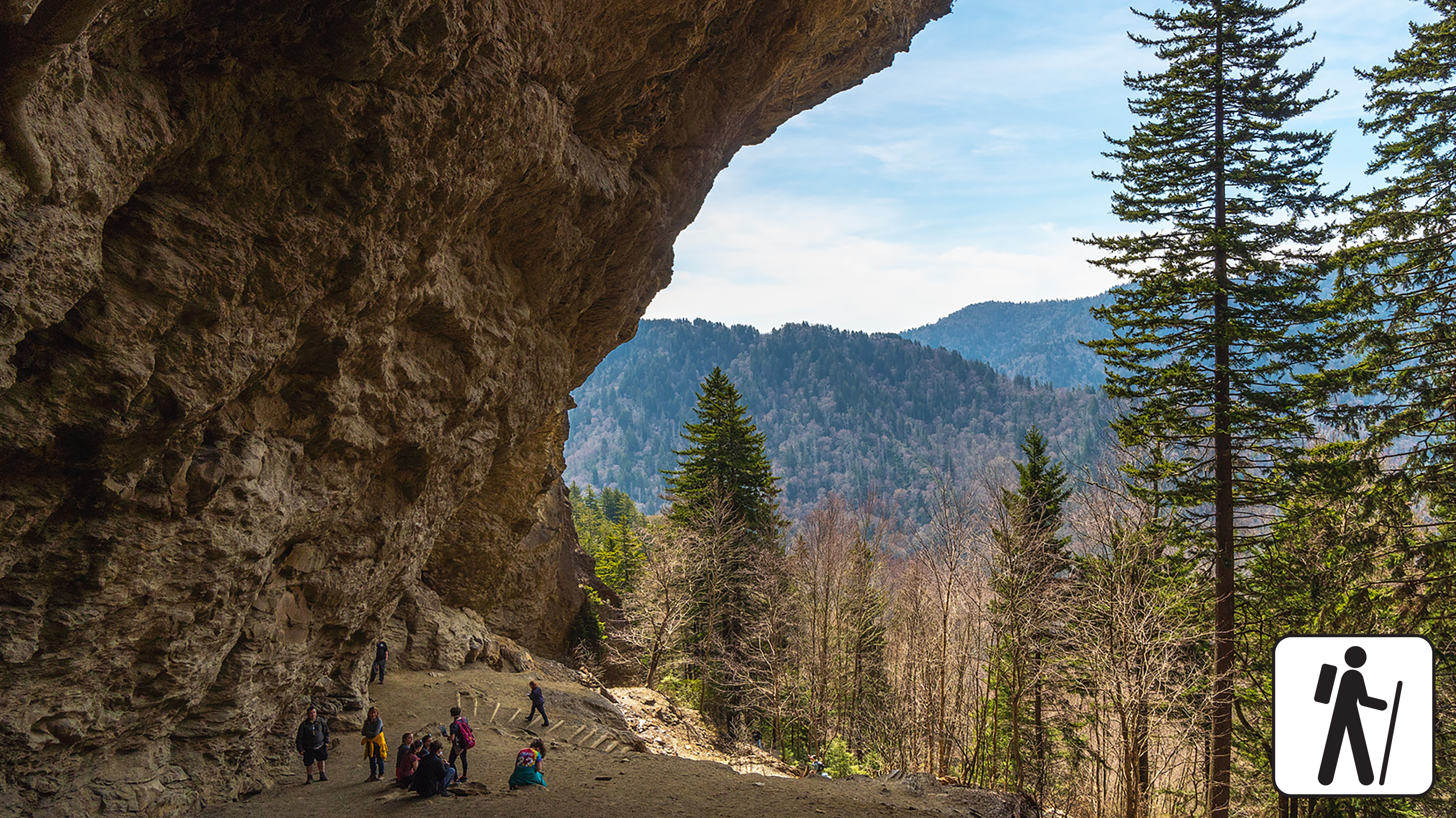
Hike 4.6 miles (7.4 km) roundtrip along Alum Cave Trail in Great Smoky Mountains National Park to see Alum Cave Bluffs and walk through Arch Rock while enjoying old-growth forest and the sounds of mountain streams along the way.
Past Arch Rock, the trail gets considerably steeper. For a more moderate hike, consider turning around at Arch Rock (2.8 miles roundtrip).
Hikers also have the more strenuous option to continue to Mount Le Conte —10 miles (16 km) roundtrip. Find the trailhead and a large parking area 6.8 miles (10.9 km) south of Sugarlands Visitor Center on Newfound Gap Road (US 441).
In cold weather, prepare for ice on the trail and potential falling icicles. Microspikes (chains or small spikes to slip on shoes for better traction) recommended in winter.
Length
4.6 miles (7.4 km) roundtrip
Parking & Trailhead
Please consider a shuttle or park at Alum Cave Bluffs Trailhead located on Newfound Gap Road (US 441) between mile marker 10 and 11. Don't forget your parking tag .
Nearest Restroom
Pit toilet available seasonally at the trailhead
Alternate Hikes
Charlies Bunion : 8 miles (13 km) roundtrip
Andrews Bald : 3.6 miles (5.8 km) roundtrip
West Prong : 5.4 miles (8.7 km) roundtrip
Cove Hardwood Nature Trail : 0.75 miles (1.2 km) roundtrip
Pets The Gatlinburg Trail and Oconaluftee River Trail are the only two park trails where pets are permitted. Pets are also allowed in picnic areas, in campgrounds, and on roads.
Accessibility Trail includes multiple sets of stairs, steep sections, and obstacles like rocks and roots.
Hike to Mount Le Conte on Alum Cave Trail 10 mi round trip · the Park Service's write-up
no dogs · entrance fee applies
Start Expect crowds and full parking at Alum Cave Trailhead—consider a shuttle
Overview
Expect extreme crowding and limited parking—consider a shuttle and alternate hikes listed below
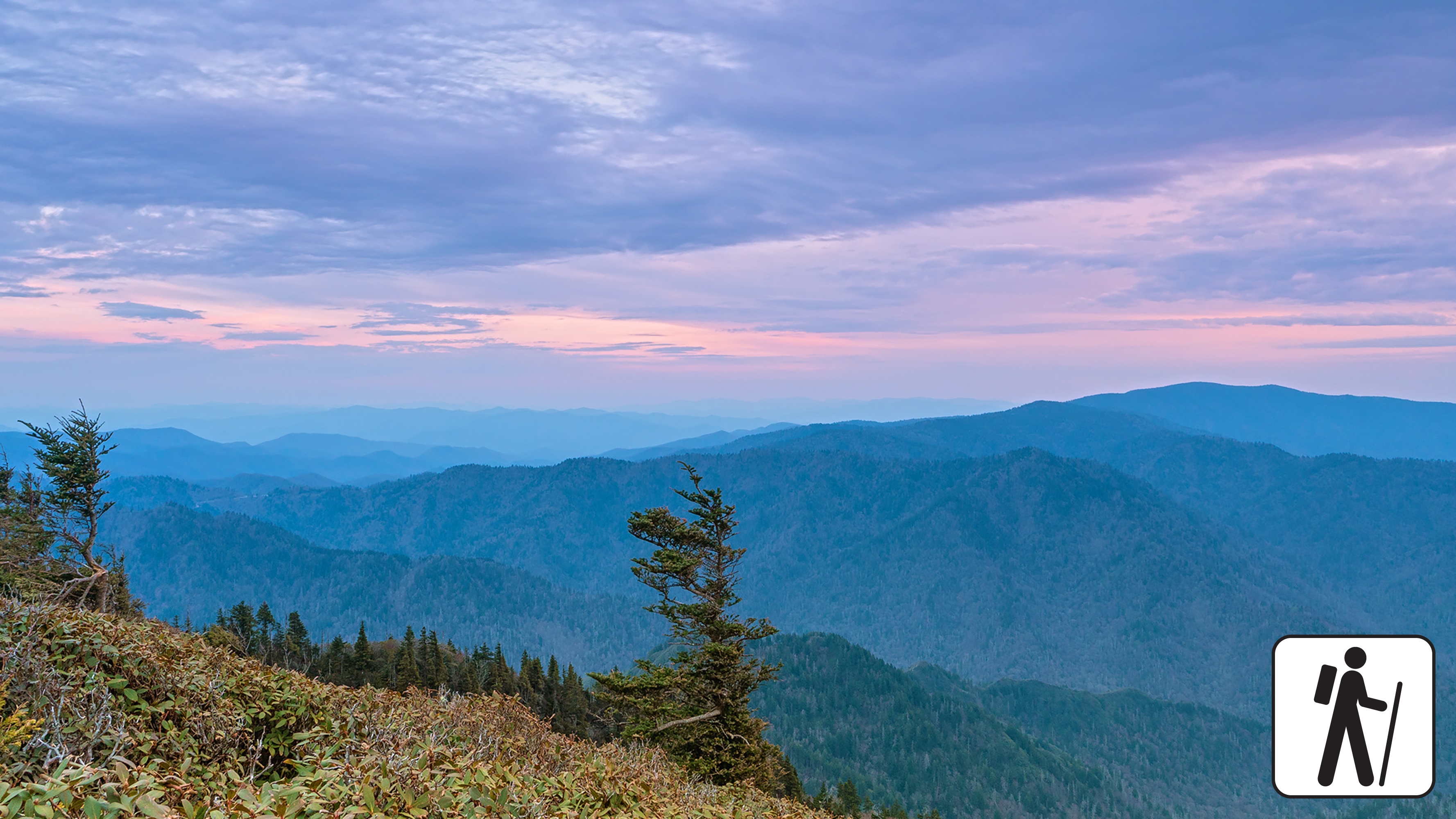
At 10 miles (16.1 km) roundtrip, this is the shortest of the five routes to Mount LeConte, a challenging and rewarding experience in Great Smoky Mountains National Park . Park at Alum Cave Trailhead along Newfound Gap Road (US 441), but plan to arrive early for this popular hike.
Enjoy dense forest along Alum Cave Creek on the way to Arch Rock and admire Alum Cave Bluffs at 2.3 miles (3.7 km). This is not a cave but an 80-foot (24-m) tall cliff that is curled inward. Spruce-fir forest lines the trail past the bluffs and hikers are rewarded with one of the steepest and highest mountains in the Smokies. Near the summit, the best views are at Cliff Top and Myrtle Point, both marked with signs.
In cold weather, prepare for ice on the trail and potential falling icicles. Microspikes (chains or small spikes to slip on shoes for better traction) recommended in winter.
Length
10 miles (16.1 km) roundtrip
Parking & Trailhead
Please consider a shuttle or park at Alum Cave Trailhead on Newfound Gap Road (US 441). Don't forget your parking tag .
Nearest Restroom
Pit toilets at Alum Cave Trailhead parking area
Alternate Hikes
Alum Cave Bluffs : 4.6 miles (7.4 km) roundtrip
Appalachian Trail & Boulevard Trail to Mount LeConte : 16.2 miles (26.1 km) roundtrip
Bullhead Trail to Mount LeConte : 13.6 miles (21.9 km) roundtrip
Trillium Gap Trail to Mount LeConte : 13 miles (20.9 km) roundtrip
Rainbow Falls Trail to Mount LeConte : 13 miles (20.9 km) roundtrip
Pets The Gatlinburg Trail and Oconaluftee River Trail are the only two park trails where pets are permitted. Pets are also allowed in picnic areas, in campgrounds, and on roads.
Accessibility This trail is steep and rocky, and includes stairs and bridges.