Footpath to Historic Depot
HistoryVisitor centers
Along the way Canoe Warehouse Gatehouse Great Hall kitchen Heritage Center/Headquarters

National Monument · Minnesota
3 named trails · 10 miles · 5 trailheads · 2 with the Park Service's own write-up. The lines, trailheads and points are the Park Service's; the write-ups are the Service's own words; the climbing is read from USGS elevation along each line.
3 trails, A to Z.
HistoryVisitor centers
Along the way Canoe Warehouse Gatehouse Great Hall kitchen Heritage Center/Headquarters
HistoryCampgrounds
Along the way Backcountry Campgrounds Canoe Landing Gatehouse Great Hall kitchen
Trailheads Grand Portage Trail 624 ft Drive there · Mount Rose Trail & Loop 627 ft Drive there · Trailhead 1,121 ft Drive there · Trailhead 1,107 ft Drive there
3-48 Hours · dogs allowed · reservation required
Start Grand Portage footpath
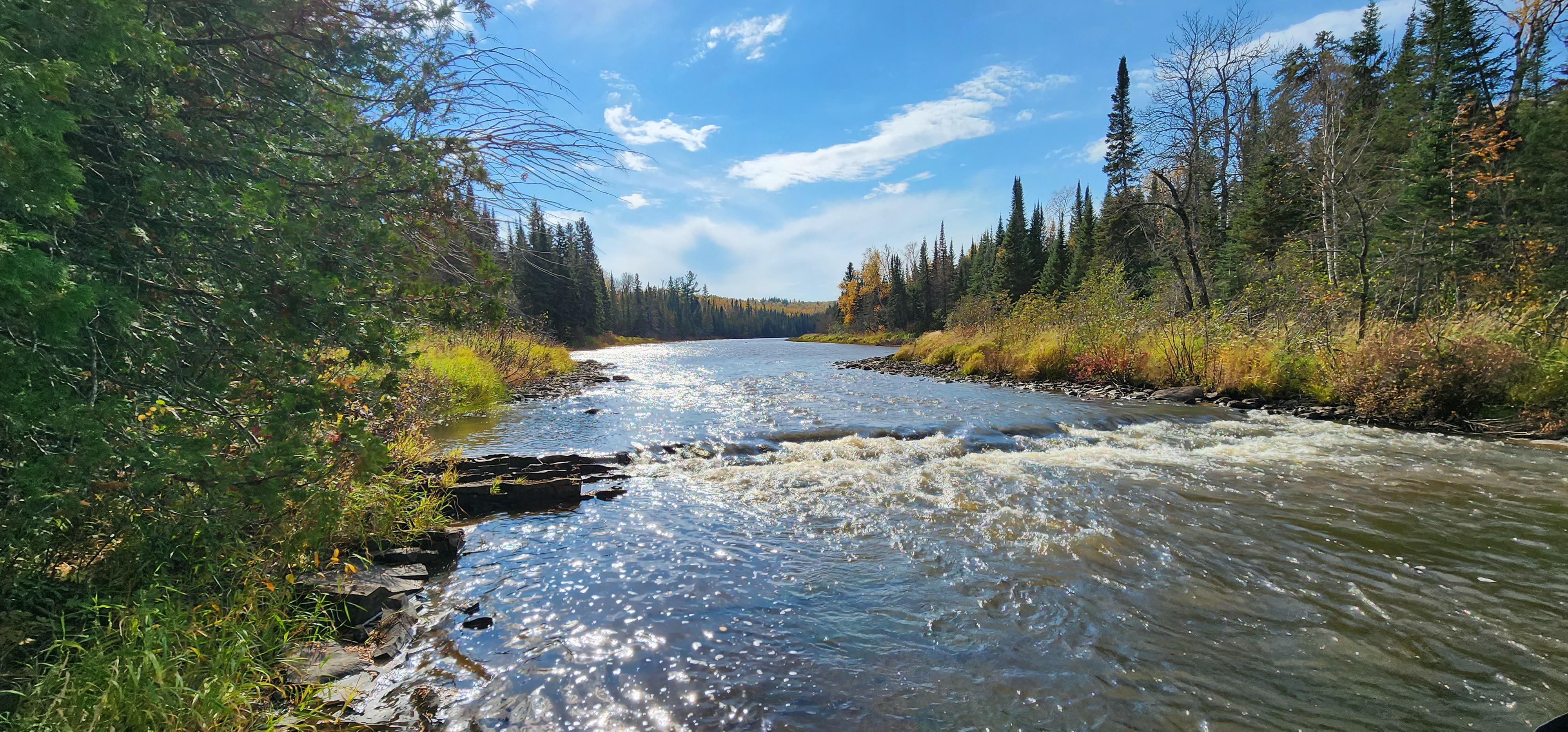
Walking Through Time
Take a trip through history by hiking a trail that has been in use for thousands of years! Gichi Onigaming , the Great Carrying Place, was part of an extensive cross-continent trade network before European contact. Early French fur traders translated the name to Grand Portage ( portager = to carry). Whether you walk a short distance or the whole length, the Grand Portage is a wonderful way to experience the southern boreal forest and walk in the footsteps of the voyageurs .
Two remote campsites are available to hikers and paddlers with a free backcountry permit . This is the only camping allowed on the trail.
Bicycles are prohibited on the trails at Grand Portage National Monument.
Fires are only permitted in designated fire rings at Fort Charlotte.
Today's portage trail corridor can be thought of in two parts: the eastern "half" that passes through gaps and valleys to avoid the high rocky ridges, and the western "half" that passes over elevated terrain to avoid steep slopes and swamps. The parking area at Old Highway 61 approximately divides the halves so hikers can choose the exploration into history of their choice.
Glimpse into the Fur Trade Era
The Grand Portage corridor is a recent focus of archeological investigations. Using data collected by David Thompson, former Nor'wester and surveyor for the international boundary commission, archeologists traced the 1821 portage using GIS technology. Thompson's 1821 portage data, it turned out, compared closely with the present portage configuration.
Cultural features investigated by archeological teams include the resting places ( poses in French) referred to in fur trade journals. Other features located along the portage such as watering holes called "the Fountain," "the Parting Trees," one that offered the last glimpse voyageurs had of Lake Superior and home while weighed down by their 180 pound burdens, and a place called "the Meadow" of "rich grass fields." From 1963-1976 a series of dives, sponsored by the Quetico-Superior Underwater Research Project, took place near historic Pigeon River canoe landings at Fort Charlotte. Divers found an assortment of artifacts including materials from birch canoes, cedar paddles, and footwear; items only preserved because of the anaerobic conditions in the river bottom sediments.
These types of investigation offer glimpses into the culture and lifestyle of those who used the trail. In 2003, while researching a potential pose site, a re-enactor assisting the archeologists uncovered an example of silver moon trade silver etched with a peacock-like design. It is now on display in the Heritage Center.
Accessibility The Grand Portage trail is steep and narrow in places with uneven, rocky footing and areas of standing water. The trail crosses water and has narrow boardwalks in wet areas that can be slippery with frost or dew.
dogs allowed
Start Trailheads near the North West Company Depot
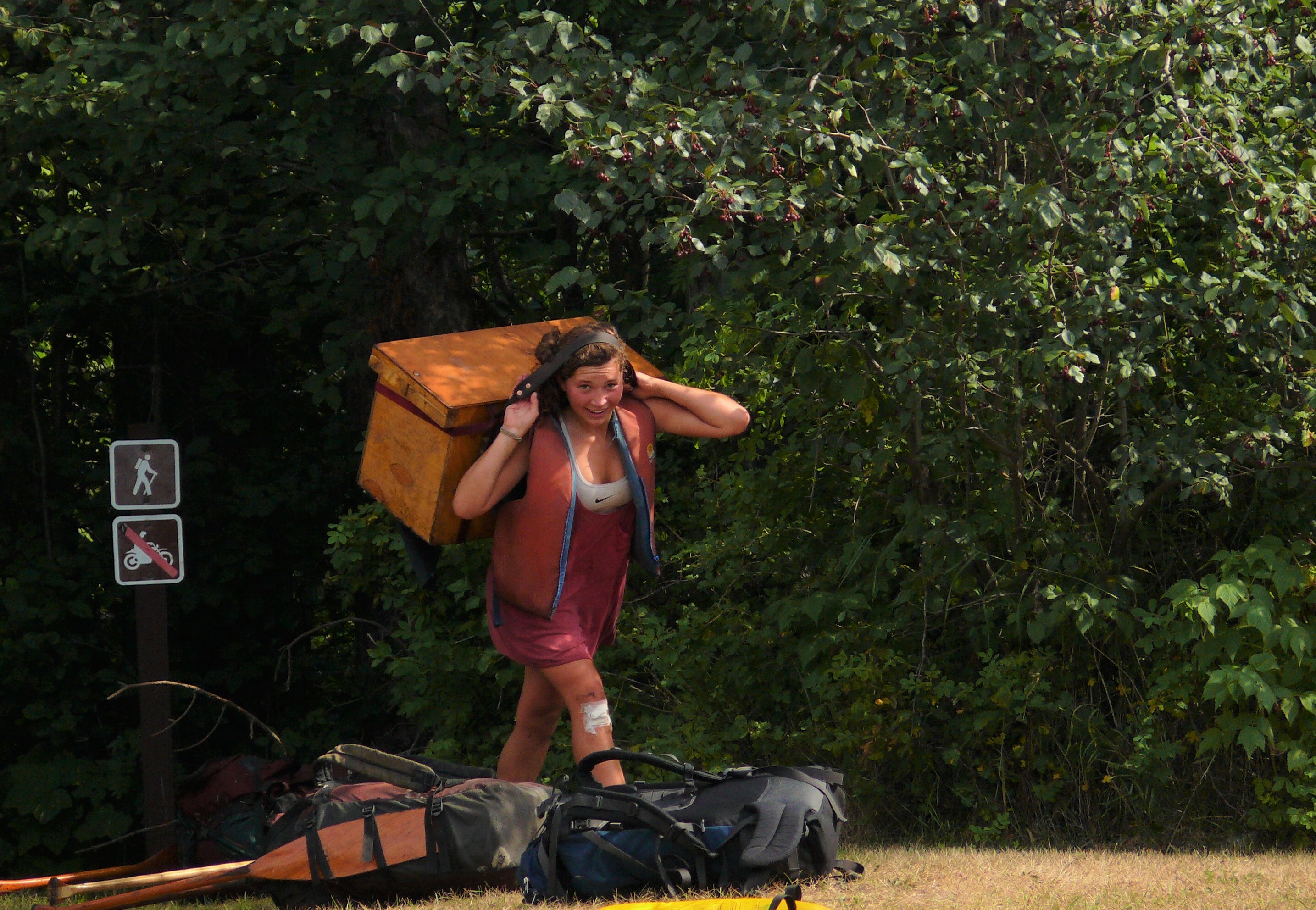
Hiking at the Monument
Grand Portage National Monument offers two trails:
the one mile round trip trail to the top of Mount Rose and the 17 mile round trip Grand Portage. Hikers may camp at Fort Charlotte on the Pigeon River by obtaining a free backcountry permit . Fort Charlotte is the only place within Grand Portage National Monument where camping is allowed.
Bicycles are prohibited on the trails at Grand Portage National Monument.
Trail Safety
Wear sturdy foot wear
Carry water
Pack rain gear and/or warm clothing, dress in layers and long sleeves/pants for bug and sun protection
Remember insect repellent, sunscreen, and a first aid kit
Know the difficulty level of the trail and your physical abilities and limitations
Leave No Trace!
Stay on the trail
Carry out all trash
Leave what you find
No fires except in designated fire rings at Fort Charlotte
Please do not feed or disturb wildlife
Pets
Pets must be restrained on a leash no longer than 6 feet (1.8 m). Pets are not allowed inside buildings or the stockade of the historic depot. There are trails around the perimeter of the stockade allowing a bypass.
Accessibility Trails at Grand Portage National Monument are steep and narrow in places with uneven, rocky footing, and areas of standing water. The Mount Rose Trail has numerous stairs. The Grand Portage trail crosses water and has narrow boardwalks in wet areas.
1-4 Hours · dogs allowed
Start High Falls, Grand Portage State Park
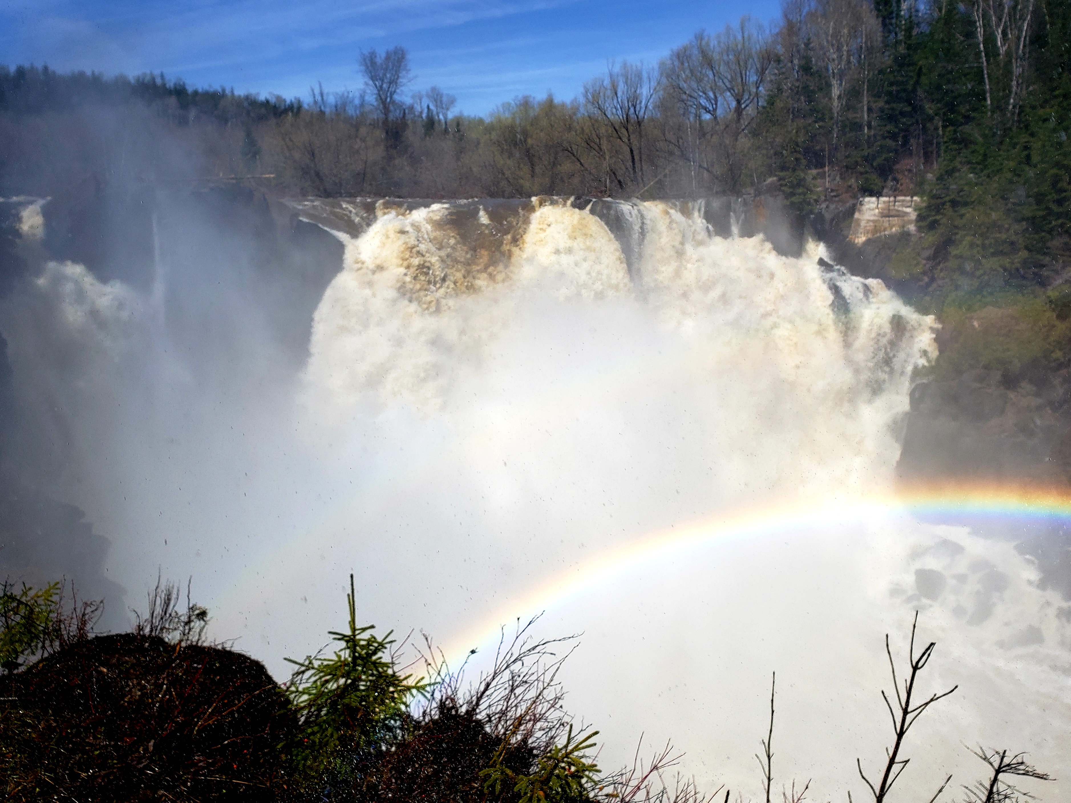
Note: Grand Portage State Park is managed by the Minnesota DNR and is not part of the National Park System.
Grand Portage State Park is the location of the highest waterfall in Minnesota. The waterfalls and rapids along this section of the Pigeon River caused the significance of the Grand Portage Trail bypass for canoe traffic.
Accessibility Wheelchair Appropriate Two trails, one and one-half miles total The one-mile round-trip High Falls Trail takes you along a paved boardwalk to Minnesota's tallest waterfall. The Picnic Trail is a half-mile loop, and leads down a paved path to several grassy picnic table sites. Boardwalk 700 feet This is the last section of the High Falls Trail. This section of trail is wheelchair friendly and leads to the scenic overlook for High Falls, Minnesota's tallest waterfall.
HistoryPicnic areasVisitor centers
Along the way Canoe Warehouse Heritage Center picnic area Heritage Center/Headquarters
Trailheads Grand Portage Trail 624 ft Drive there · Mount Rose Loop & Trail 638 ft Drive there · Mount Rose Trail & Loop 627 ft Drive there
dogs allowed
Start Trailheads near the North West Company Depot
Hiking at the Monument
Grand Portage National Monument offers two trails:
the one mile round trip trail to the top of Mount Rose and the 17 mile round trip Grand Portage. Hikers may camp at Fort Charlotte on the Pigeon River by obtaining a free backcountry permit . Fort Charlotte is the only place within Grand Portage National Monument where camping is allowed.
Bicycles are prohibited on the trails at Grand Portage National Monument.
Trail Safety
Wear sturdy foot wear
Carry water
Pack rain gear and/or warm clothing, dress in layers and long sleeves/pants for bug and sun protection
Remember insect repellent, sunscreen, and a first aid kit
Know the difficulty level of the trail and your physical abilities and limitations
Leave No Trace!
Stay on the trail
Carry out all trash
Leave what you find
No fires except in designated fire rings at Fort Charlotte
Please do not feed or disturb wildlife
Pets
Pets must be restrained on a leash no longer than 6 feet (1.8 m). Pets are not allowed inside buildings or the stockade of the historic depot. There are trails around the perimeter of the stockade allowing a bypass.
Accessibility Trails at Grand Portage National Monument are steep and narrow in places with uneven, rocky footing, and areas of standing water. The Mount Rose Trail has numerous stairs. The Grand Portage trail crosses water and has narrow boardwalks in wet areas.
35 more mapped segments without a name are on the map, not in the list.
The lines are the National Park Service's public trails layer, the trailheads and the waterfalls, views, peaks and historic places along them the Service's public points of interest, read 2026-10-14 and simplified for the map. The write-ups are the Service's own "things to do", unedited. Heights come from USGS 3DEP through Terrain Tiles on AWS (Mapzen/Tilezen), read along each line and rounded; a short trail on steep ground can be off by a few tens of feet. Closures change: check the park's own site before you go.