
Crissy Field Promenade
Crissy Field Restored Wetlands the Park Service's write-up
1-2 Hours · dogs allowed
Start Crissy Field
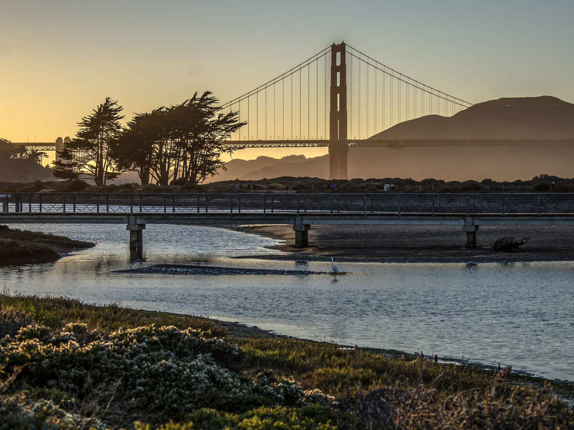
Explore and walk around the restored wetlands of Crissy Field.
Originally a coastal wetlands occupied seasonally by the Ohlone people, the Crissy Field area has seen more changes in use than any other site in the Presidio. The Crissy Field Promenade runs along the bay and has spectacular views of the Golden Gate Bridge and the San Francisco Bay.
Along your stroll, look out for shorebirds and wildlife living in the wetland habitat
Accessibility Crissy Field Accessibility Crissy Field has accessible parking, restrooms, trails, picnicking, seasonal beach mat access, and beach wheelchairs (by request). There are two areas in Crissy Field, East Beach and West Bluff. Both areas have several accessible parking spaces. . East Beach has: An accessible restroom facility, a concrete building adjacent to the parking lot. An accessible dog washing station is also available here. An accessible picnic area for family and group picnicking. West Bluff has: Generally accessible picnic sites, an accessible Accessible restrooms near the Warming Hut There is an amphitheater that has accessible seating along the top row, here you also find an accessible picnic table Torpedo Wharf is usable, but has cracked and heaving asphalt, please proceed with caution. The Crissy Field Promenade is generally accessible and relatively flat. Beach Wheelchairs area available by reservation at least 5 days in advance. Please contact us for more information.