
Cathedral Wash Trail
Scramble down Cathedral Wash Trail 3 mi round trip · the Park Service's write-up
3-4 Hours · no dogs · season During summer months temperatures can be extreme, reaching over <strong>100 ° F (38°C)</strong> by early afternoon.<strong> </strong>Do not hike during the warmest parts of the day. Bring plenty of water. Be aware of flash floods.
Start How to get to Cathedral Wash Trail Head
Scenic Hike
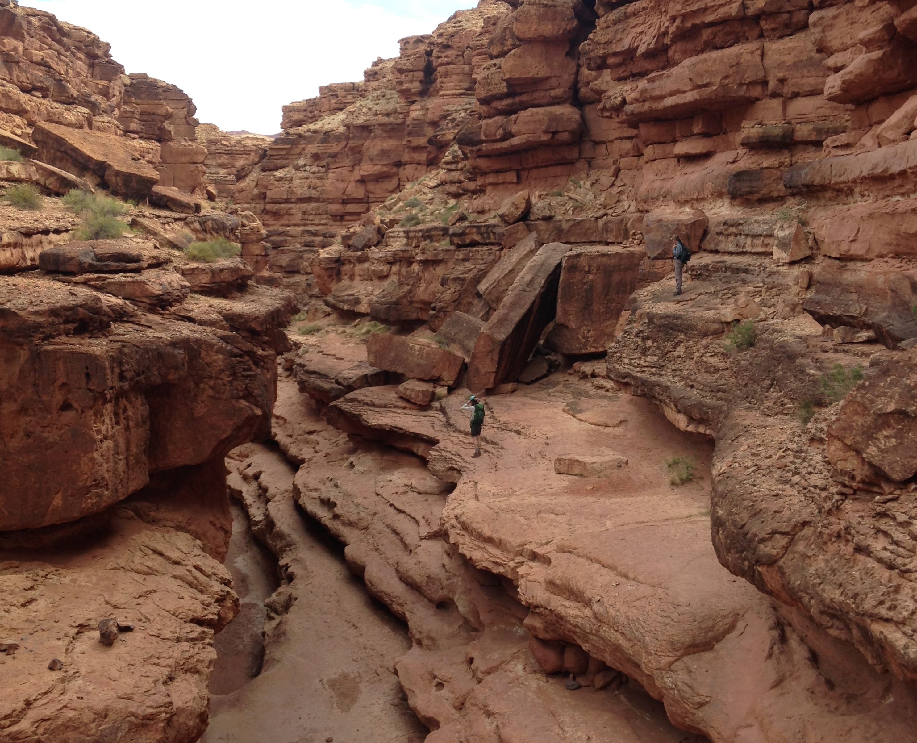
Canyon walls rise as you follow a mostly dry wash to the Colorado River. This adventure has no major technical challenges, but scrambling and careful decision-making are needed to choose safe routes over ledges and drop-offs. Named after church-like Cathedral Rock at the head of this small canyon, your journey will take you deeper and deeper through Kaibab Limestone and Toroweap Formations until ending at the river, where canyon debris created Cathedral Wash Rapid.
Come Prepared
While this hike is quite scenic and popular, please know your limits. The wash layout changes throughout the year due to flash floods, rockfalls, and weather. It is easy to cliff out, overheat, or get stuck in mud. Bring good shoes, water, and and any other hiking essentials you need. Securing ropes for technical climbing is not permitted. DO NOT enter this wash if rain is forecasted. Flash floods can be deadly.
Accessibility Steep trail descends multiple times onto uneven rock surface. Not recomended for anyone without rock canyon experience. No flat surfaces, no railings. Rock scrabbles, narrow ledges, soft sand and puddles found along the trail leading to a soft sand riverbank.