
Hoist, 6-7 West Park Spur
Trailhead Hoist Lake Area Drive there
Hoist Lake Area the Forest Service's write-up
<strong>Recreation Day Use Fee</strong> <ul> <li>$5.00/Day</li> </ul>
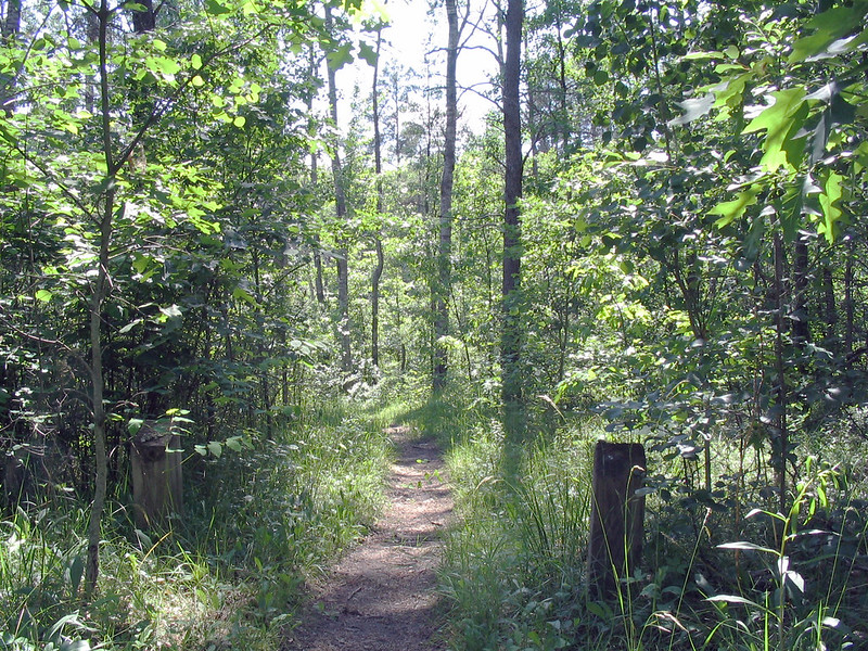
Hoist Lake foot travel area encompasses almost 10,000 acres of pine, aspen and hardwood forest. There are 19 miles of looped trail. Hiking trails and back-country skiing are permitted; however, there are no groomed trails. Cross country skiing ranges from moderate to more difficult/most difficult due to length of trails. Hiking ranges from moderate to more difficult/most difficult. Hunting and fishing are permitted in season.
Restrictions <strong><em>Allowed - </em></strong> <ul><li>Nonmotorized Use, Nonmotorized Over-snow Use</li></ul><strong><em>Prohibited - </em></strong> <ul><li>Motorized Vehicles, Motorized Over-snow Vehicles</li><li>Pack and Saddle Animals</li><li>Bicycles</li></ul>As a visitor to the National Forest, you are asked to follow certain rules designed to protect the Forest, natural resources and to provide for public safety of visitors. These rules are available to you <a href="http://www.fs.usda.gov/detail/hmnf/notices/?cid=STELPRDB5181640">on-line</a> or at any office of the Huron-Manistee National Forests. Please take time to read and understand them. General Topic orders apply across the Forests. <em><strong>Applicable Orders - </strong></em> <ul><li>Motorized Vehicle Use of Roads, Trails and Off-road Areas</li><li>Occupancy and Use</li><li>Hoist Lake, Reid Lake and Silver Valley Areas</li></ul>