3.3 mi of trail, end to end · about 300 ft of climbing · 795 ft–1,024 ft
HistoryVisitor centers
Along the wayGallatin HouseThomas Clare CemeteryVisitor Center
Hiking at Friendship Hill the Park Service's write-up
30-300 Minutes · dogs allowed
Start Friendship Hill Loop Trail
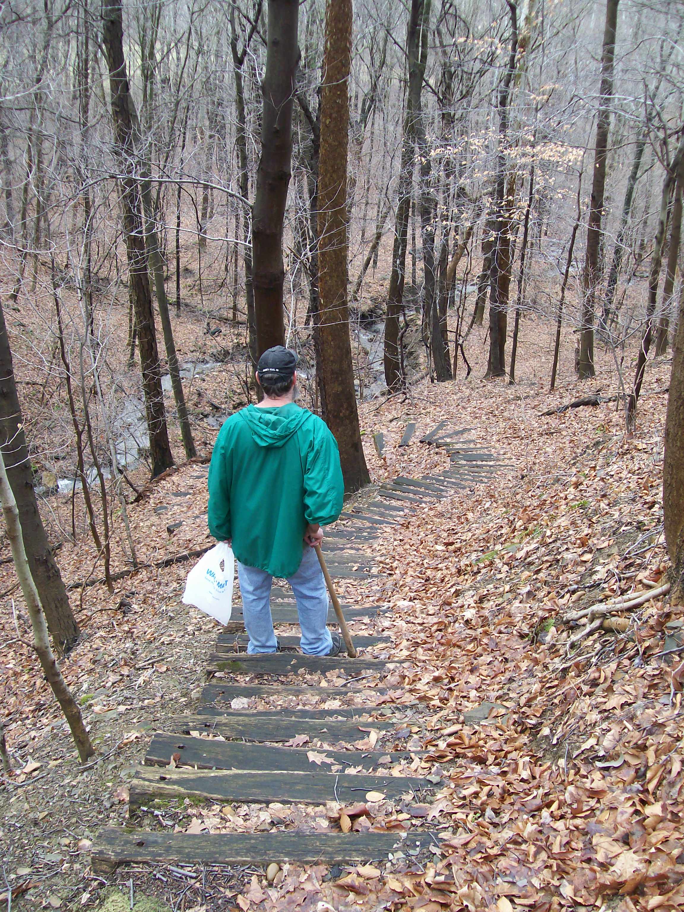
The Loop Trail descends steeply to the river. Ask a ranger for trail recommendations for your level. Photo: NPS Photo/Becky Burgess
The ten miles of trails at Friendship Hill National Historic Site offer a glimpse of the natural world of the Allegheny Plateau.
When Albert Gallatin first came to the area in 1784, the Monongahela River was on the edge of the American frontier. Gallatin believed the rich land of the west held the key to his wealth. Farming, logging, mining, and the development of transportation have all left their imprint here.
Now the land is being managed to return to woods and meadows similar to those Gallatin knew, and you are invited to explore them.
Accessibility The trails at Friendship Hill can be steep and rough in sections
The lines are the National Park Service's public trails layer, the trailheads and the waterfalls, views, peaks and historic places along them the Service's public points of interest, read 2026-10-16 and simplified for the map; the length is the line's, end to end. The write-ups are the Service's own "things to do" text, unedited. Heights come from USGS 3DEP through Terrain Tiles on AWS (Mapzen/Tilezen), read along each line and rounded; a short trail on steep ground can be off by a few tens of feet. Closures change: check the park's own site before you go.