
River Trail
Explore the Parade Ground the Park Service's write-up
30-45 Minutes · dogs allowed
Start Parade Ground
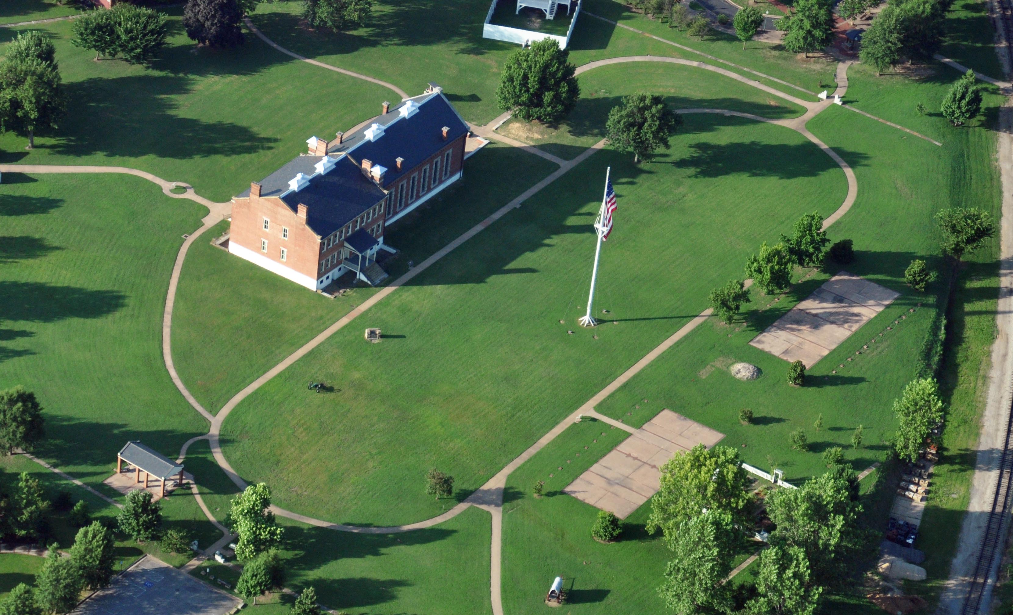
For more than thirty years during the mid-1800’s, soldiers drilled on the large parade ground. Flanked by the Officers’ Quarters to the right and the enlisted men’s barracks on the left, the parade ground was the center of life at the fort.
The loop around the parade ground is one quarter of a mile. Surrounding the parade ground to the north is the Commissary, to the east is the Visitor Center (former barracks, courthouse, and jail building), to the south is the Gallows, and to the west are the Officers' Quarters and Garden.
Accessibility The loop around the parade ground is a cement sidewalk four feet wide. The loop is flat with an extimated slope and cross slope is less than 1%. Benches can be found at the north end at the Guardhouse and the Commissary and Frisco Overlook.
Walk the River Loop Trail the Park Service's write-up
30-60 Minutes · dogs allowed
Start Gazebo
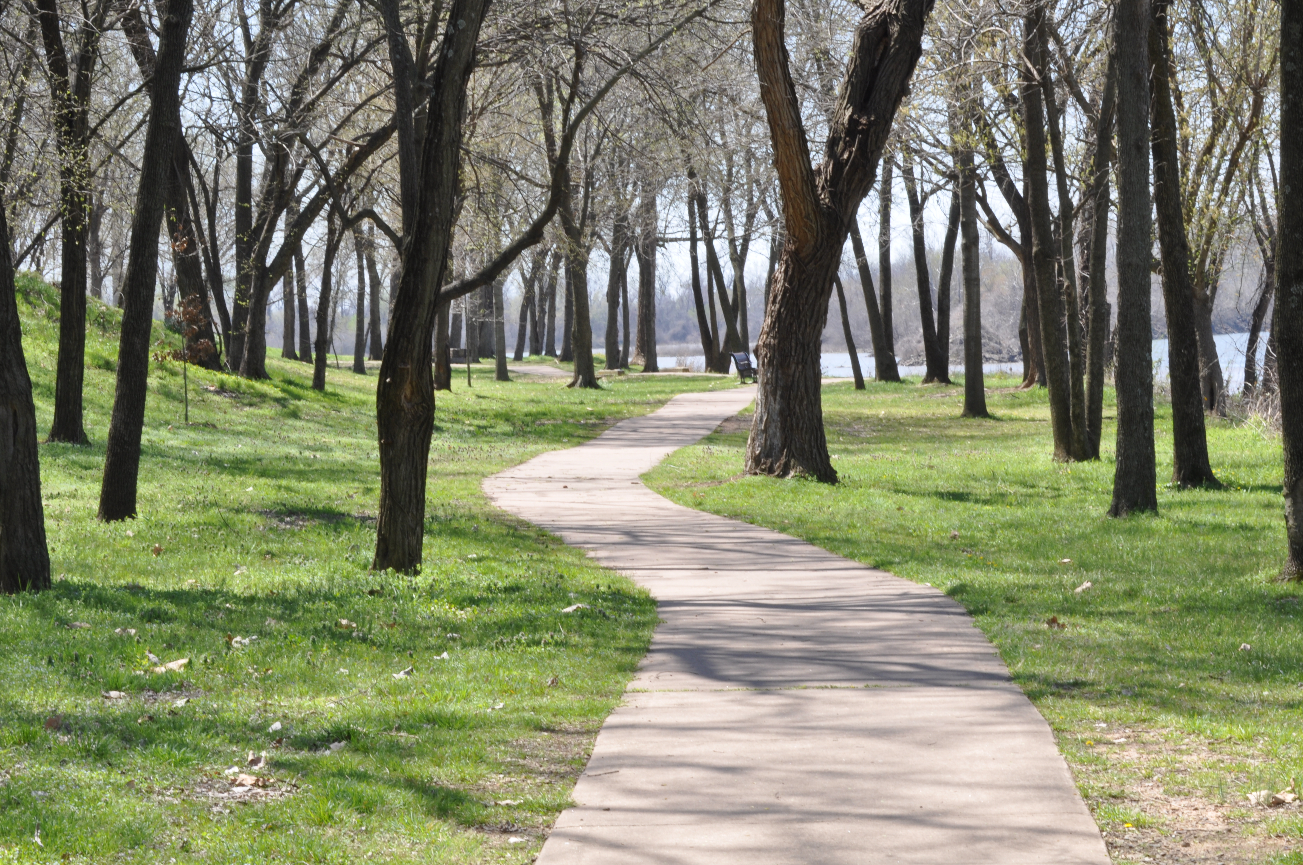
The mile long River Loop Trail is a cement sidewalk. Look for clues from the past at the foundation of the First Fort Smith. Stroll along the Poteau and Arkansas Rivers. Interpretive waysides and benches at located in various locations along the trail.
Accessibility Length: 1 mile Slope: Undulating with segments of 5% - 7%; steepest is 11% for 35 feet on the levee embankment. Cross slope: max 1% Surface material: Concrete Width: 5 feet There are multiple benches along the trail and interpretive waysides that can be viewed without blocking the sidewalk. The trail also crosses three active railroad tracks. Be alert for trains and the crossing are can be slippery and a possible trip hazard. No access to the river. No water or restrooms are located along the trail.