Foot Perimeter Trail
Visitor centers
Along the way FOPU Visitor Center

National Monument · Georgia
7 named trails · 10 miles · 1 with the Park Service's own write-up. The lines, trailheads and points are the Park Service's; the write-ups are the Service's own words; the climbing is read from USGS elevation along each line.
7 trails, A to Z.
Visitor centers
Along the way FOPU Visitor Center
dogs allowed · entrance fee applies
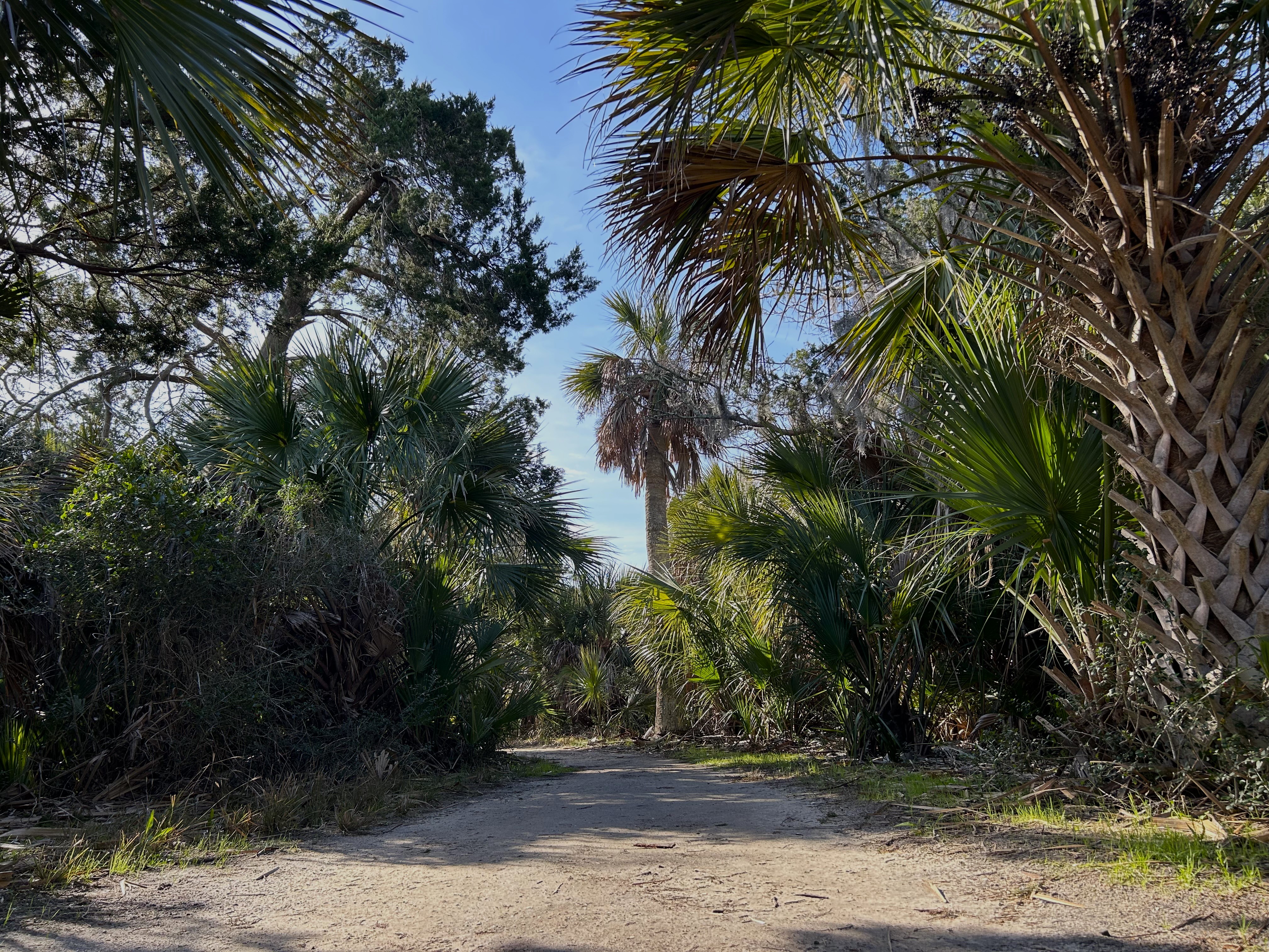
Outdoor enthusiasts will enjoy exploring several nature trails throughout Fort Pulaski National Monument.
Trails
North Pier Trail
This trail guides visitors through a scenic wooded environment and passes through remnants of Fort Pulaski's original construction village. Battery Hambright , built in the late 19th Century, and the historic north pier highlight this less than 1 mile out & back trail.
North Shoreline: The shoreline is closed permanently for resource protection and visitor safety. For more information on the closure.
Lighthouse Overlook Trail
The Lighthouse Overlook Trail guides visitors along open marsh as well as a forested environment offering views of the Savannah River, and Tybee Island. The 1.7 mile out & back trail offers the island's best views of the historic Cockspur Island Lighthouse.
Historic Dike System
Designed by Lt. Robert E. Lee, the historic dike system allowed for tide control and drainage which aided in the construction of Fort Pulaski. The two mile length trail circles Fort Pulaski, offering visitors unparalleled views of Cockspur Island and the Savannah River.
McQueens Island Rails to Trails
Located on McQueens Island at the entrance to Fort Pulaski National Monument, this six-mile trail managed by Chatham County Parks and Recreation follows the path of the old Tybee rail line that once connected Savannah to the beaches of Tybee Island. The packed-gravel trail is open to bikers, runners, and walkers.
Trail maps are available in the Visitor Center and the Fort.
Fort Pulaski Trail Map
Hiking Safety
Bring water: The only water inside the park is at the Visitor Center. Make sure you have some with you before setting out on the trail.
Know before you go: Check local weather forecast .
Know your limits: Know your own limits and don't over hike beyond your safe distance.
Stay on Trail: Deviating from the designated trail can lead to you becoming lost and can impact crucial park resources. Please stay on designated trails.
Leave no Trace: "Leave nothing but footprints and take nothing but pictures" on park trails.
Wear Bug Spray: The park is host to numerous species of ticks, gnats, mosquitoes and chiggers. Some of these species can carry potentially dangerous diseases. You are encouraged to use an insect repellant while at Fort Pulaski.
Pack it in, Pack it out: Please pack all trash you may produce on your hike. Trash cans are available near the Visitor Center.
Accessibility The North Pier Trail is fully paved and mostly flat from the Visitor Center to the start of the North Pier. The pier itself has a sand and grass surface that is uneven. Other trails are either grass or crushed shell.
Visitor centers
Along the way FOPU Visitor Center
Visitor centers
Along the way FOPU Visitor Center
The lines are the National Park Service's public trails layer, the trailheads and the waterfalls, views, peaks and historic places along them the Service's public points of interest, read 2026-10-14 and simplified for the map. The write-ups are the Service's own "things to do", unedited. Heights come from USGS 3DEP through Terrain Tiles on AWS (Mapzen/Tilezen), read along each line and rounded; a short trail on steep ground can be off by a few tens of feet. Closures change: check the park's own site before you go.