
National Battlefield · Pennsylvania
Trails in Fort Necessity National Battlefield
23 named trails · 6 miles · 1 with the Park Service's own write-up. The lines, trailheads and points are the Park Service's; the write-ups are the Service's own words; the climbing is read from USGS elevation along each line.
23 trails, A to Z.
Braddock Road Trace
Braddock's Grave
Braddock's Grave Loop
Cliff Spur
Views
Along the way Jumonville Trail Overlook
Forest Trail
Fort Necessity
HistoryVisitor centers
Along the way Fort Store House Visitor Center
Hike the Fort Necessity Trails the Park Service's write-up
15-180 Minutes · dogs allowed
Start Trails begin from Fort Necessity, the Picnic Area, and Jumonville Glen
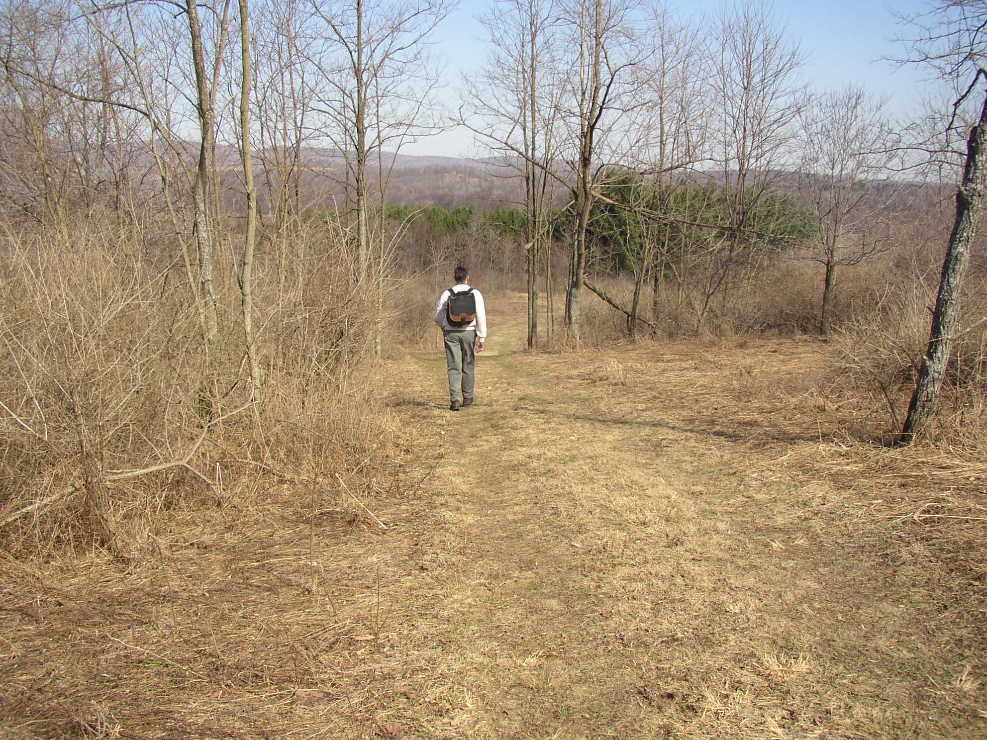
The Fort Necessity trail system winds through mixed deciduous forest and meadows. When Washington and his men passed through this area, they found the forest in a virgin state. The trees were large and well spaced with the absence of undergrowth due to the shade of the trees.
The forest has been cleared several times to produce charcoal for iron furnaces and for farming. In places, the trails passes stands of pines. These were planted by the men of the Civilian Conservation Corps camp in the mid 1930's. As you explore the park, imagine it as seen through the perspective of a youthful commander on his first military campaign on the edge of the wilderness.
A portion of the trail follows the Braddock Road Trace. This is the remnant of the road built by Washington in 1754 and improved by General Braddock's army on their way to Fort Duquesne the next year. This road became one of the major routes of transportation from the east before the completion of the National Road to Wheeling, Virginia in 1818.
Accessibility The trail from the Visitor Center to Fort Necessity is wheelchair accessible. It is paved and fairly level. It is a 300 yard walk from the Visitor Center to the fort. The other trails in the park are not paved. They can be rough, un-even, and/or soggy at any time of the year. Jumonville Glen and Braddock's Grave have sections that are accessible, but not everything. Pets are welcome on all trails, as long as they are on leash at all times. Please make sure to clean up after them, and prevent them from interacting with wildlife. Pets are not allowed in the buildings.
French Camp
Indian Run
Inner Meadow
Jumonville Glen Loop
Views
Along the way Jumonville Trail Overlook
Jumonville Glen Loop (paved)
Views
Along the way Jumonville Trail Overlook
Jumonville Glen Spur
Views
Along the way Jumonville Trail Overlook
Meadow Short Cut Spur
Meadow Spur
Mount Washington Tavern Loop
History
Along the way Conestoga Wagon Shed Mount Washington Tavern
Outer Meadow
Picnic Area Loop
Ski Spur
Social
History
Along the way Fort Store House
Social Spur
Tavern Spur
HistoryVisitor centers
Along the way Conestoga Wagon Shed Mount Washington Tavern Visitor Center
Trail to Wharton Township Veteran's Memorial
History
Along the way Wharton Township Veterans Memorial
About these trails
The lines are the National Park Service's public trails layer, the trailheads and the waterfalls, views, peaks and historic places along them the Service's public points of interest, read 2026-10-14 and simplified for the map. The write-ups are the Service's own "things to do", unedited. Heights come from USGS 3DEP through Terrain Tiles on AWS (Mapzen/Tilezen), read along each line and rounded; a short trail on steep ground can be off by a few tens of feet. Closures change: check the park's own site before you go.