
Geologic Trail
ViewsExhibitsBridges
Along the way Hornbek Loop Trail Bridge Jawless fish Land Plants Land Vertebrates Geologic Overlook
Hiking the Geologic Trail 1.2 mi round trip · the Park Service's write-up
30-60 Minutes · no dogs · entrance fee applies
Start Geologic Trail
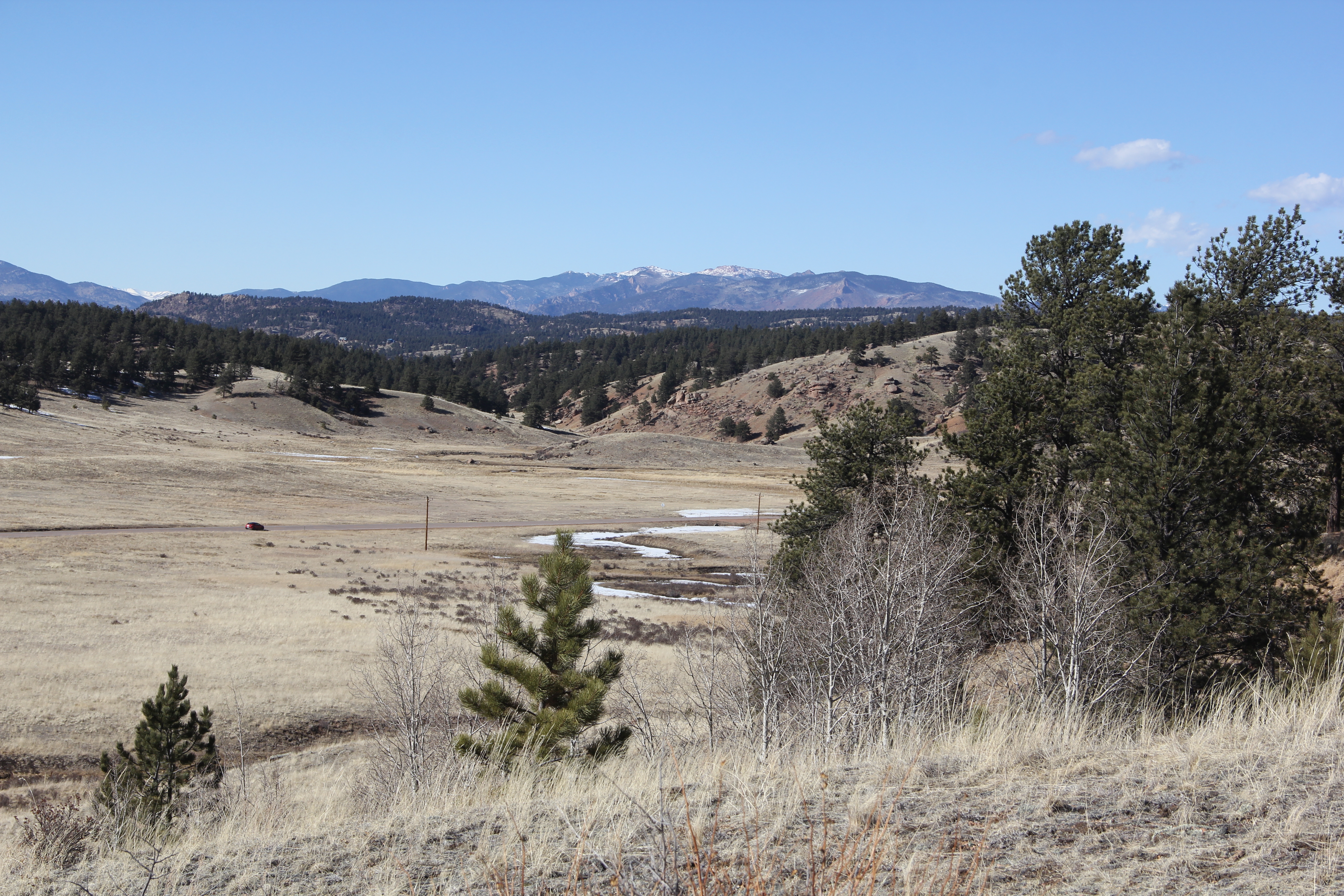
The Geologic Trail is a self-guided 1.2 mile (round trip) trail that that highlights over a billion years of geologic history of the Florissant valley. It passes over the ancient lake bed, crosses County Road 1, then ascends past the remnants of a massive pyroclastic flow, and ends at a scenic overview of the Florissant valley.
Pets Pets are not allowed on any trails at Florissant Fossil Beds. They are allowed, on a leash, in the parking lot, and adjacent picnic area in front of the visitor center.
Accessibility The Geologic Trail is a 1.2 mile (round trip) trail that can be accessed behind the visitor center and off the Petrified Forest Loop. The trail begins on a gravel, 6 foot wide section that is part of the Petrified Forest Loop. After about .1 miles on this section you'll come to the junction of the beginning of the Geologic Trail. From there, the trail ascends about 20 feet on a narrow trail and then descends 20 feet down again using wooden steps. Then the trail crosses a two lane county road and continues on a narrow dirt/rock trail until it comes to a foot bridge that has three steps on either side. Then the trail ascends a narrow rocky path for about 105 feet to the over view.