Campground Trail
Backcountry campsCampgrounds
Along the way Campsite Campsite Campsite Campsite Campsite Campsite Campsite Campground

National Monument · New Mexico
4 named trails · 2 miles · 1 with the Park Service's own write-up. The lines, trailheads and points are the Park Service's; the write-ups are the Service's own words; the climbing is read from USGS elevation along each line.
4 trails, A to Z.
Backcountry campsCampgrounds
Along the way Campsite Campsite Campsite Campsite Campsite Campsite Campsite Campground
ExhibitsVisitor centers
Along the way A Natural Corridor CF Lummis 1926 The Pool Visitor Center
ExhibitsVisitor centers
Along the way A Natural Corridor Visitor Center
30-60 Minutes · dogs allowed
Start El Morro National Monument
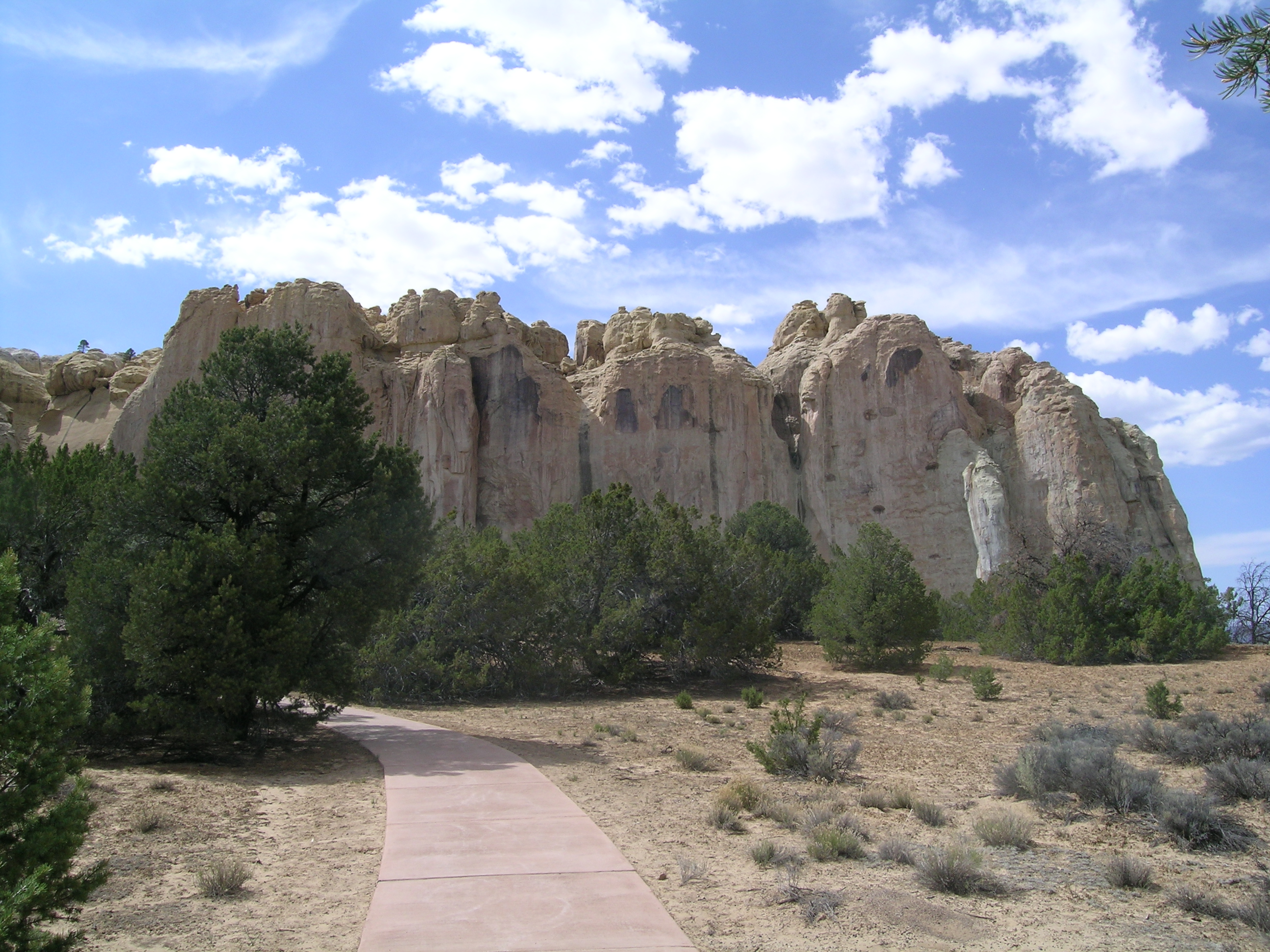
This 0.75 mile (1.2 km) trail leads hikers past the historic pool and around the base of El Morro to see hundreds of historic inscriptions and petroglyphs. A trail guide is available at the Visitor Center to borrow or purchase.
The trail is open Thursday through Monday from 9:00 am to 4:00 pm.
Accessibility The Inscription Rock Trail to Marker 16 (making it a 0.5 mile loop) is wheelchair accessible. This paved loop has one consistently climbing hill to the Pool overlook and informational waysides, with a moderately steep descent to the Pool itself. This portion of the trail is generally 75” wide.
60-150 Minutes · dogs allowed
Start El Morro National Monument
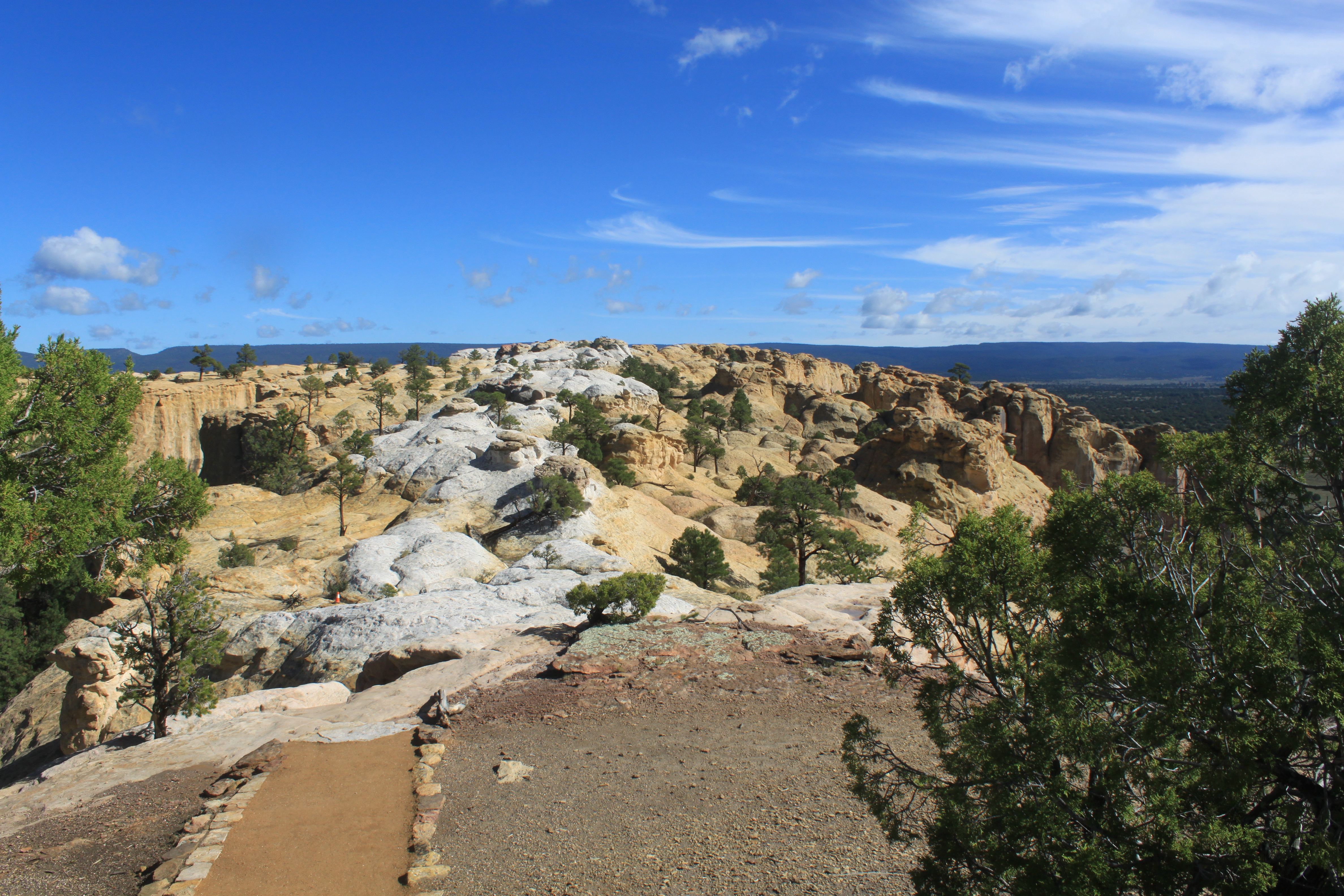
This 2-mile trail includes the Inscription Loop and takes you to the top of the El Morro bluff. It is a moderately strenuous trail with a gain of 224 ft of elevation. Hikers can choose to ascend via switchbacks or 132 stairs. At the top of the bluff, there are two ancestral Puebloan dwellings, one of which is partially excavated. Much of the upper section of the trail is on uneven sandstone so sturdy footwear is recommended.
This trail opens when the visitor center opens at 9:00 am Mountain Time. Hikers must begin their hike no later than 3:00 pm and return to the visitor center no later than 4:45 pm. At certain times of the year, inclement weather may close part or all of the trail. The trails at El Morro National Monument are accessible only when the visitor center is open.
Accessibility This trail is not wheelchair accessible. The Headland Trail includes climbing 132 stairs or moderately steep switchbacks and crosses the mesa top on an unpaved and uneven trail across bumpy sandstone.
Picnic areasVisitor centers
Along the way Picnic Area Picnic Area Picnic Area Picnic Area Picnic Area Visitor Center
The lines are the National Park Service's public trails layer, the trailheads and the waterfalls, views, peaks and historic places along them the Service's public points of interest, read 2026-10-14 and simplified for the map. The write-ups are the Service's own "things to do", unedited. Heights come from USGS 3DEP through Terrain Tiles on AWS (Mapzen/Tilezen), read along each line and rounded; a short trail on steep ground can be off by a few tens of feet. Closures change: check the park's own site before you go.