Delaware Water Gap National Recreation Area · New Jersey, Pennsylvania

Lower Hornbecks Creek Trail

1.1 mi of trail, end to end · about 100 ft of climbing · 382 ft–491 ft · gravel surface · hiking

Waterfalls

384 ft 491 ft · 1.1 mi high 491 ft

Along the way Lower Hornbecks Falls

Trailhead Hornbecks Creek Trail - US209 386 ft Drive there

Easy Hike Along Hornbecks Creek the Park Service's write-up

dogs allowed

Start Lower Hornbecks Creek Trail
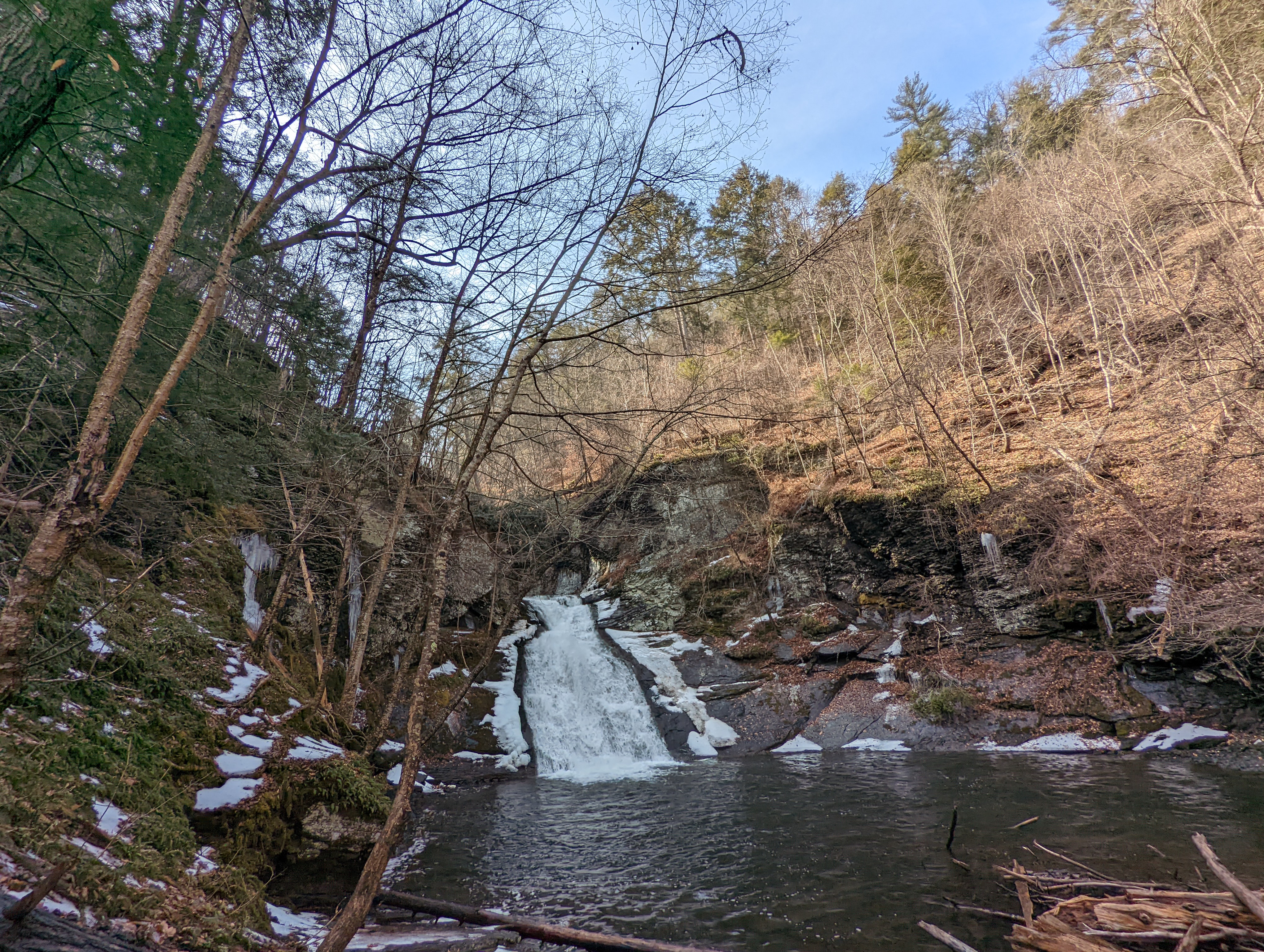
A small, tiered waterfall and pool with a small amount of snow around it.
Lower Hornbecks Creek's waterfall in late winter. Photo: NPS Photo/ J. Grier

An easy, one-mile out and back hike along the Lower Hornbecks Creek will lead visitors to a small waterfall, but the waterfall is only part of the view!

During the hike, there are multiple bridges allowing for beautiful views of the creek all along the trail.

This hike is easy and good for familes, as there is only 110 feet of total elevation gain and the trail is relatively wide and flat.

For the trail map, visit Lower Hornbecks Creek Trail - Delaware Water Gap National Recreation Area (U.S. National Park Service) .

Accessibility This trail is not ADA accessible. The trail surface is uneven and may have rocks or roots, or may be slippery and muddy in areas. The elevation gain is 110 feet.

This hike on nps.gov

All 57 trails in Delaware Water Gap National Recreation AreaFind a trailOn the parks mapPark on nps.gov

About this trail's facts

The lines are the National Park Service's public trails layer, the trailheads and the waterfalls, views, peaks and historic places along them the Service's public points of interest, read 2026-10-16 and simplified for the map; the length is the line's, end to end. The write-ups are the Service's own "things to do" text, unedited. Heights come from USGS 3DEP through Terrain Tiles on AWS (Mapzen/Tilezen), read along each line and rounded; a short trail on steep ground can be off by a few tens of feet. Closures change: check the park's own site before you go.