
Cliff Trail
Views
Along the way Cliff Trail - Riverview Overlook Cliff Trail - Tri-State Overlook
Hike the Cliff Trail 2.8 mi out and back · the Park Service's write-up
1-4 Hours · dogs allowed · season The Cliff Trail is great in all seasons. Snowshoeing and cross-country skiing are popular activities in the winter, while the trees are the stars of the show during spring and fall.
Start Cliff Trail at Hackers Trailhead
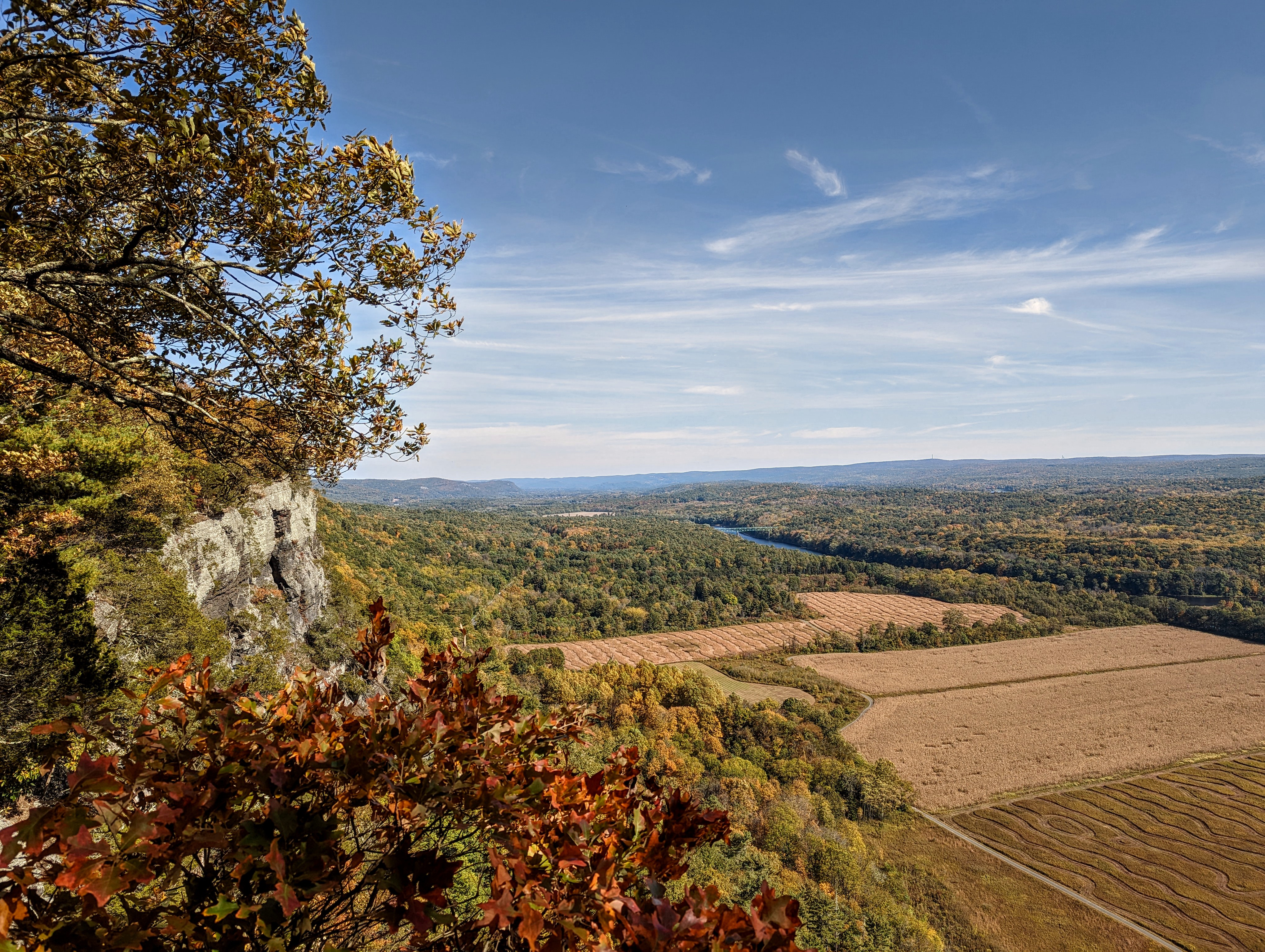
The Cliff Trail is a 2.8 mile, out-and-back trail that winds along the Raymondskill Ridge. This trail begins with a steady incline with an elevation gain of about 250 feet. After reaching the ridge, the incline flattens out for an easier, more level walk along the ridgeline. There are four overlooks along this trail: Tri-state, Minisink, Riverview, and the trail terminates at the Milford Knob overlook.
The views from this trail are 180 degree overlooks of gorgeous Delaware River Valley, including agricultural fields, forests, towns and structures, and the cliffs the overlooks are perched on.
This trail can be done in sections from different starting points such as Cliff Park and Milford Knob trailheads.
Accessibility This trail is quite rocky and uneven. Moderate elevation gain will make this trail difficult for people with mobility issues.