
Trailhead Trail
Green River Road on the OVNHT the Park Service's write-up
45-60 Minutes · dogs allowed
Start Trailhead Parking Area for Historic Green River Road
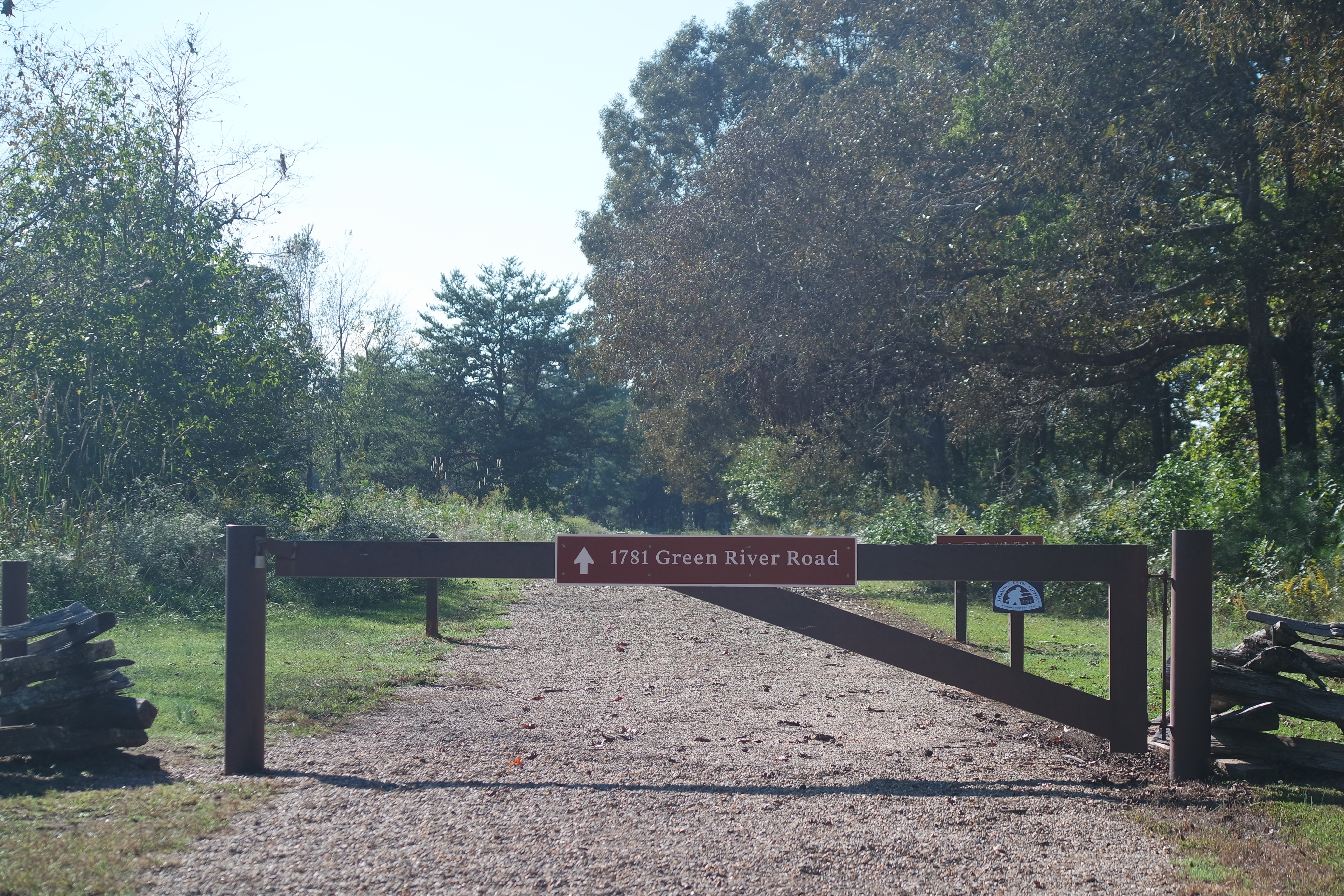
One of the certified segments of the Overmountain Victory National Historic Trail is the "Historic Green River Road" located within Cowpens National Battlefield in Gaffney, South Carolina. This trail was used by patriot militia on October 6, 1780 during their pursuit of British Major Patrick Ferguson and was the last large gathering and rest before the Battle of Kings Mountain on October 7, 1780.
This level gravel hiking trail is a "there-and-back" hike approximately 1.8 miles long and begins at a "Trailhead Parking" area located on Highway 11 one mile away from the main entrance gate to Cowpens National Battlefield. The trail can also be accessed from the Cowpens National Battlefield Visitor Center at 4001 Chesnee Highway, Gaffney, South Carolina 29341.
Accessibility The "Historic Green River Road" trail is a 1.8 mile wide gravel road. There are short paved sidewalks to access the trail from the Trailhead Parking Area, and to divert off the trail to the Cowpens National Battlefield Visitor Center. The trail features a firm grassy shoulder in addition to the pea gravel.