City Of Rocks National Reserve · Idaho

Geological Trail

0.6 mi of trail, end to end · about 100 ft of climbing · 6,167 ft–6,295 ft · earth surface · trail class Minimally Developed · hiking

6,167 ft 6,266 ft · 0.4 mi high 6,266 ft

Hike the Geological Interpretive Trail the Park Service's write-up

1-2 Hours · dogs allowed

Start The trail starts from Circle Creek Overlook Parking Lot
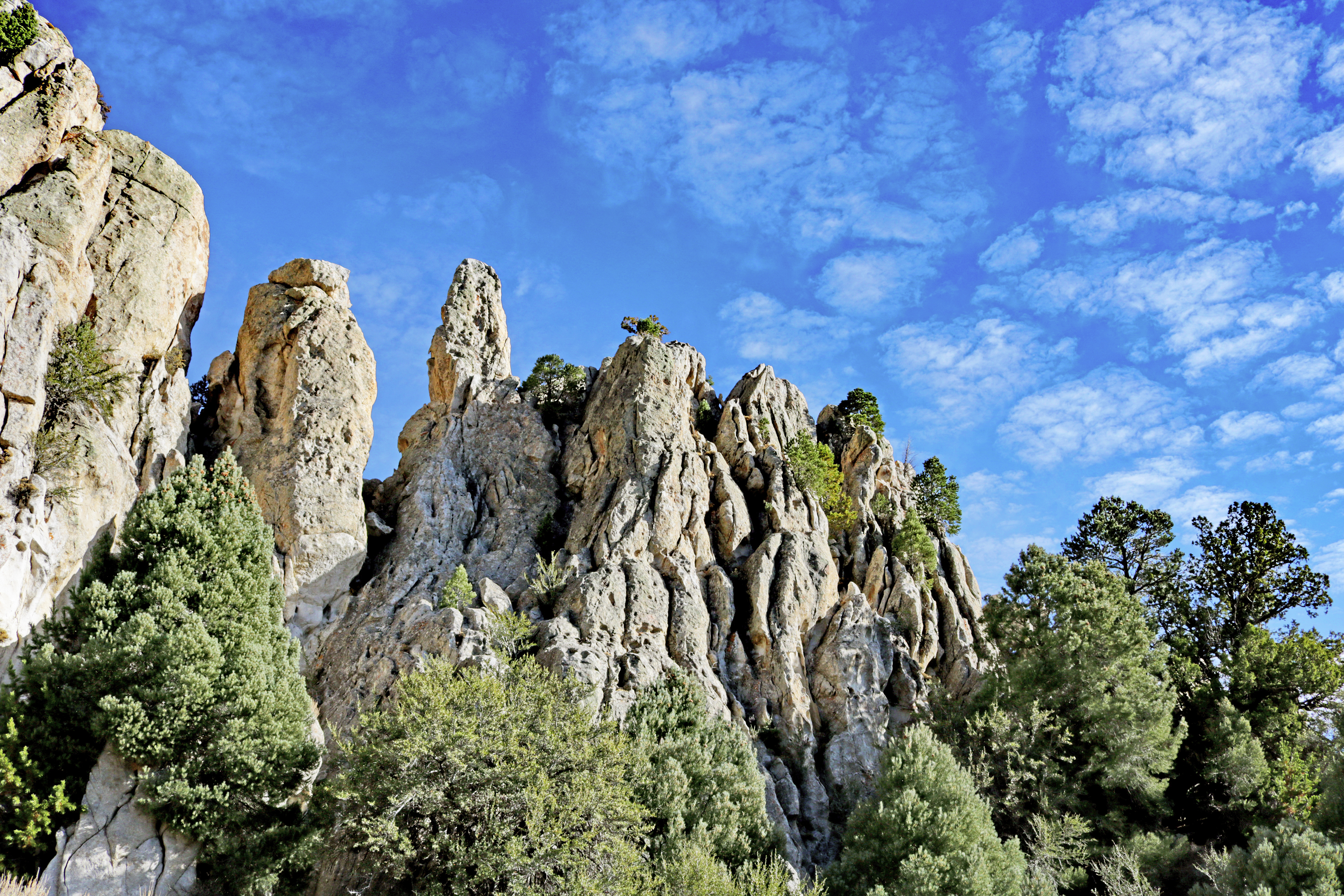
Jagged granite pinnacles jutting up.

A self-guided journey to discovering the geology at City of Rocks National Reserve.

Have you ever visited City of Rocks and wondered, “How did this happen?” or “Why do the rocks look like this?”

The 1 mile Geological Interpretive Trail is the perfect short hike to:

see fascinating geological formations up close

examine the difference between the Green Creek Complex and Almo Pluton

learn about the geologic history of this landscape

There are 12 interpretive stations along the trail, find the Geological Interpretive Trail Guide in the Self-Guided Tours section of the City of Rocks NPS Mobile App or pick up a guide booklet for $5 at our Visitor Center.

Accessibility This 1 mile trail is over bare ground with a gentle grade, gaining 160 feet in elevation.

This hike on nps.gov

All 51 trails in City Of Rocks National ReserveFind a trailOn the parks mapPark on nps.gov

About this trail's facts

The lines are the National Park Service's public trails layer, the trailheads and the waterfalls, views, peaks and historic places along them the Service's public points of interest, read 2026-10-16 and simplified for the map; the length is the line's, end to end. The write-ups are the Service's own "things to do" text, unedited. Heights come from USGS 3DEP through Terrain Tiles on AWS (Mapzen/Tilezen), read along each line and rounded; a short trail on steep ground can be off by a few tens of feet. Closures change: check the park's own site before you go.