
South Rim Trail
Views
Along the way Ramparts Overlook Spectra Point
Hike the South Rim Trail the Park Service's write-up
1-4 Hours · no dogs · entrance fee applies · Summer · season The South Rim Trail is best experienced during the summer. Cool temperatures at high elevation keep this trail and the park cooler than surrounding hiking opportunities. During the spring and fall, snow and ice are possible which can make the trail hazardous and muddy. During the winter, heavy snowfall covers the park - visitors are strongly encouraged to stay away from the rim of the amphitheater during the winter for their safety.
Start Point Supreme
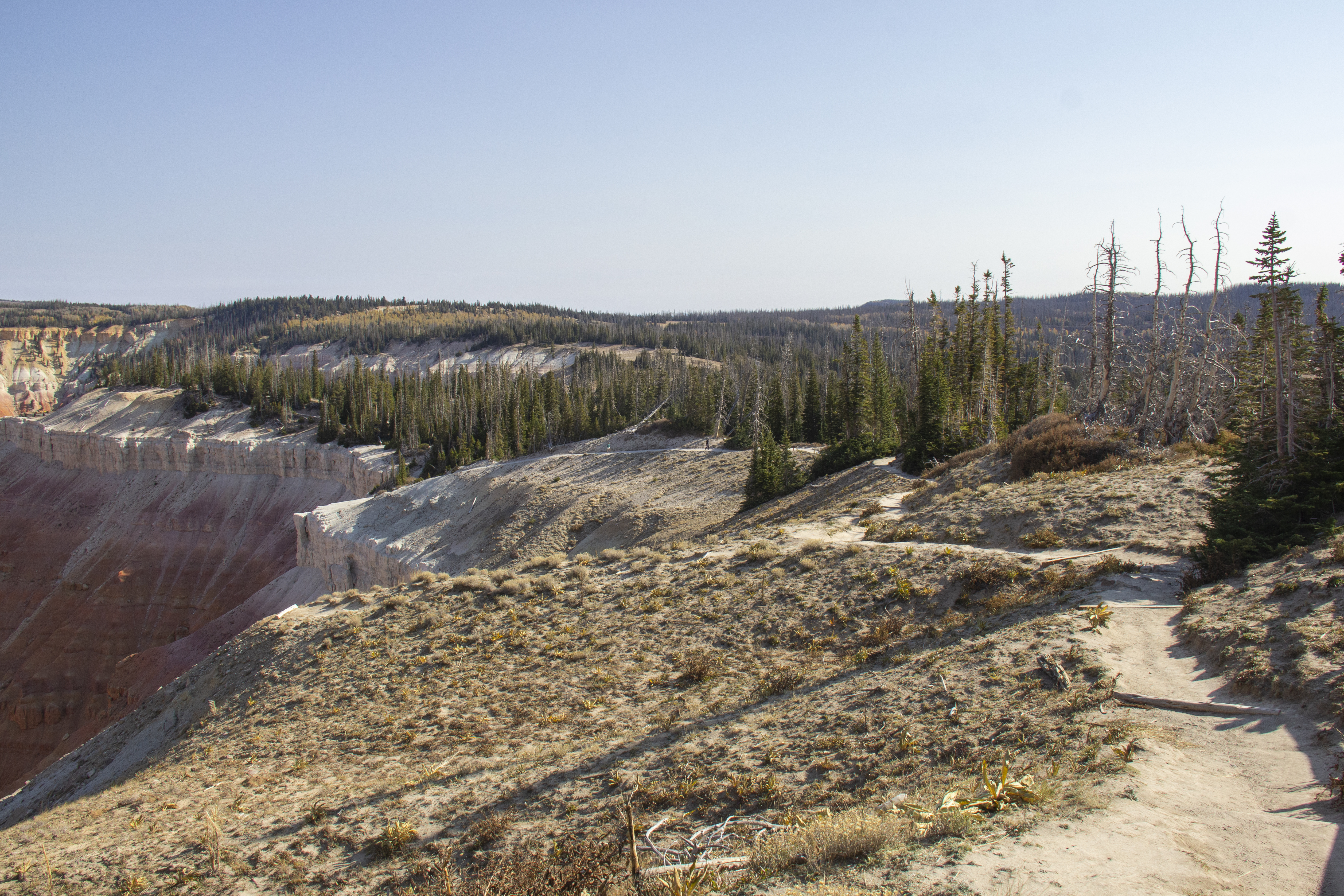
A hike along the South Rim Trail can be one of the best experiences at Cedar Breaks National Monument. The trail follows the rim of the Cedar Breaks Amphitheater from Point Supreme to the Bartizan. Along the way, there are several scenic viewpoints that offer unique perspectives of the formations within the amphitheater.
Pets Pets are not permitted on the South Rim Trail. Please visit our Pets page for more information.
Accessibility The trail is a narrow dirt path with frequently changing elevation including steep portions which water-breaks or small stairs are built to limit erosion.