
Lava Flow Trail
Picnic areas
Along the way Group Picnic Area
Hike Trails at the Base of Capulin Volcano 1 mi loop · the Park Service's write-up
10-180 Minutes · no dogs · season Winter brings with it snow and ice as well as wind, so be prepared for cold weather and slippery areas on the trails. Occasionally the visitor center will close due to weather, and the restrooms and water at the picnic area are closed in the winter. However the trails are always open to hikers even when the visitor center is closed.<br /> <br /> Spring is usually quite windy and occasionally there are snowstorms so be prepared for a variety of weather. Flowers usually start popping up along the trails in late May or early June.<br /> <br /> Summer is usually mild, though occasionally temperatures will reach the high 90s F (36 C). The trails have little shade so be sure to wear sunscreen and bring water when hiking. July and August bring afternoon thunderstorms, so keep an eye on the weather and head back whenever there is lightning or thunder as lightning strikes the volcano quite often.<br /> <br /> Fall brings cooler temperatures and sometimes snow or ice so be prepared for temperature changes. The gambel oak that covers the volcano changes colors from green to a dull orange around the end of October.
Start Parking Lot at the Visitor Center
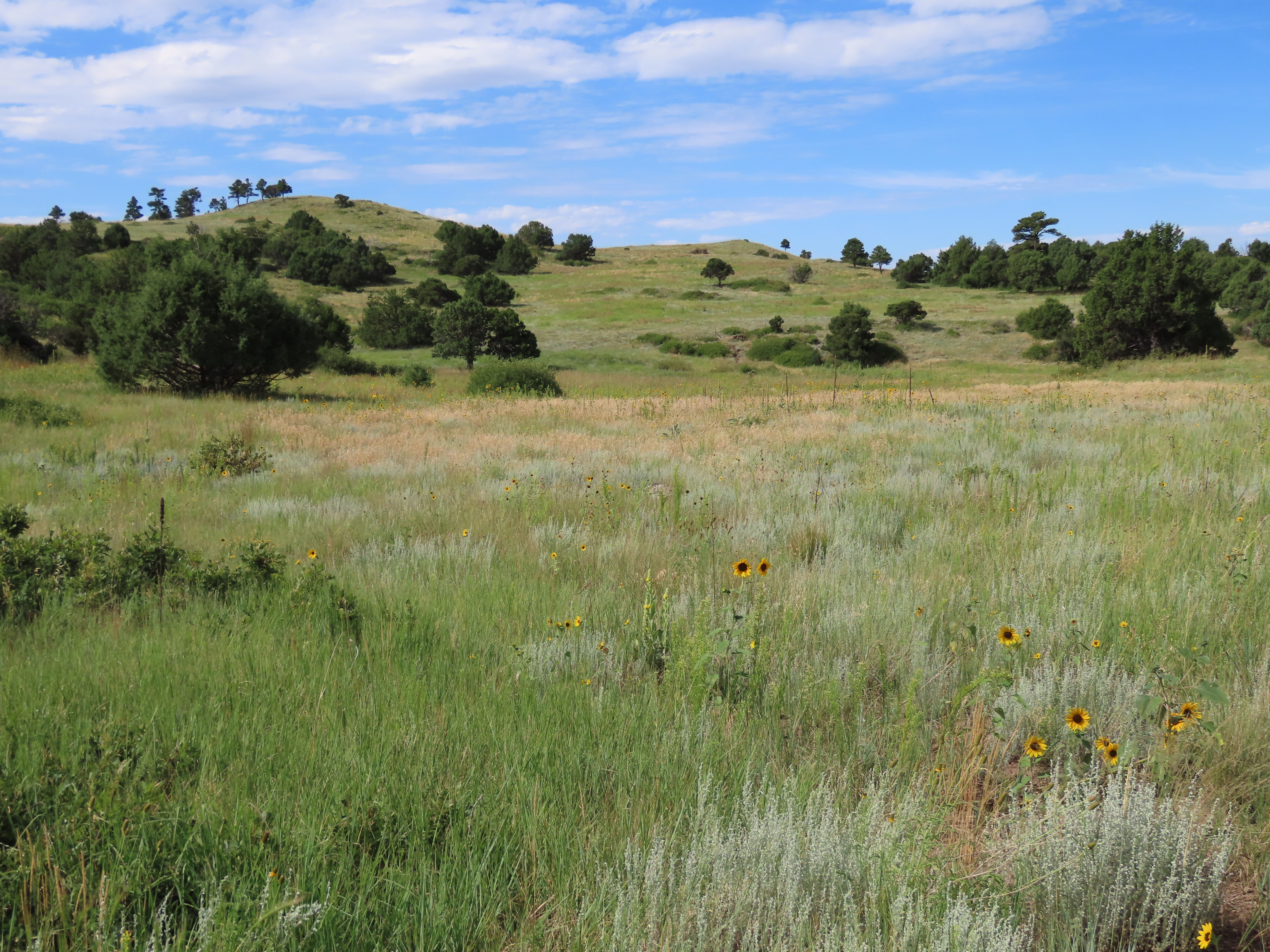
Take a walk over and around the lava flows Capulin Volcano produced. With over 3 miles of trail at the base of the volcano, there's plenty of opportunities to enjoy the volcanic geology of this unique cinder cone.
The Nature Trail is a figure eight sidewalk trail that is accessible to all. Stop along the way at descriptors discussing plant life, geology, and wildlife in this short walk around a volcanic "squeeze up."
The Lava Flow Trail is an unimproved, 1 mile loop that crosses a couple of the volcano's lava flows while providing great views of the surrounding volcanic topography.
The Boca Trail is an unimproved, 2 mile loop through the Boca area, which is the vent area at the base from which the volcano's lava flows originated. The trail provides close up views of numerous geologic features including collapsed lava tubes.
Pets While pets are allowed on the Nature Trail as long as they are on a leash, only service animals are allowed on the Lava Flow Trail and Boca Trail.
Accessibility Service animals are allowed on all trails at Capulin Volcano. The Nature Trail is a fully accessible, tenth of a mile, flat, 5 foot wide smooth concrete path that can be accessed by a ramp from the end of the patio in front of the visitor center. The Lava Flow Trail is a rough, 1 mile, 1 to 10 feet wide, uneven trail covered in dirt, cinder, and large lava rocks with steep uneven steps in places. The Boca Trail is a rough, 2 mile, sometimes steep, 1 to 3 feet wide, uneven trail covered in dirt, lava rocks, and rolling cinder.