Carlsbad Caverns National Park · New Mexico

Yucca Canyon Trail

7.8 mi of trail, end to end · about 1,300 ft of climbing · 2,000 ft of descent · 4,558 ft–6,731 ft · trail class Minimally Developed

5,934 ft 6,731 ft · 4.9 mi high 6,731 ft

Yucca Canyon Trail the Park Service's write-up

9 Hours · no dogs

Start Yucca Canyon Trailhead
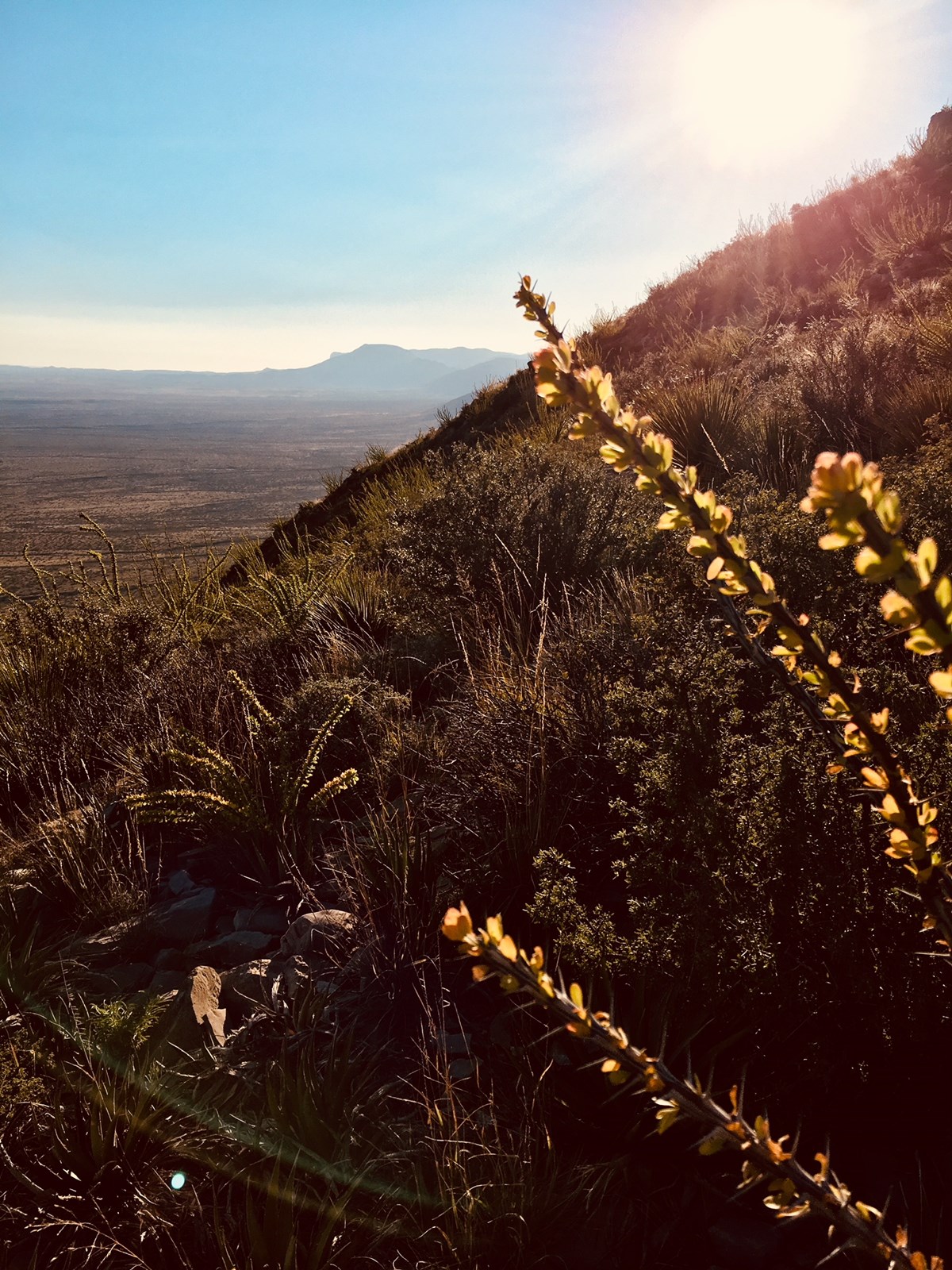
Photo along the Yucca Canyon Trail with desert plants and distant views.
Views and desert plants along the Yucca Canyon Trail. Photo: © Katie Person

This is a difficult 7.7 mile (12.4 km) trail that climbs quickly up a side canyon to the top of the escarpment. From the ridge, there are amazing views of the basin. The trail continues across the plateau until it reaches a sheer drop and view into Big Canyon. This is one of the few trails in the park where you may encounter ponderosa and other pines. Elevation change is 1,520 feet (464 m).

A free permit is required for all overnight use of the park’s backcountry which can be obtained at the visitor center during business hours.

Accessibility Trail is narrow, rocky, and steep.

This hike on nps.gov

All 18 trails in Carlsbad Caverns National ParkFind a trailOn the parks mapPark on nps.gov

About this trail's facts

The lines are the National Park Service's public trails layer, the trailheads and the waterfalls, views, peaks and historic places along them the Service's public points of interest, read 2026-10-16 and simplified for the map; the length is the line's, end to end. The write-ups are the Service's own "things to do" text, unedited. Heights come from USGS 3DEP through Terrain Tiles on AWS (Mapzen/Tilezen), read along each line and rounded; a short trail on steep ground can be off by a few tens of feet. Closures change: check the park's own site before you go.