Carlsbad Caverns National Park · New Mexico

Slaughter Canyon Trail

5.6 mi of trail, end to end · about 90 ft of climbing · 2,000 ft of descent · 4,220 ft–6,124 ft · trail class Minimally Developed

6,088 ft 4,220 ft · 5.4 mi high 6,124 ft

Slaughter Canyon Cave Trail the Park Service's write-up

90 Minutes · no dogs · season Temperatures in the summer can reach over 100°F (38°C). Hike early in the day and bring water.

Start Slaughter Canyon Cave Trailhead
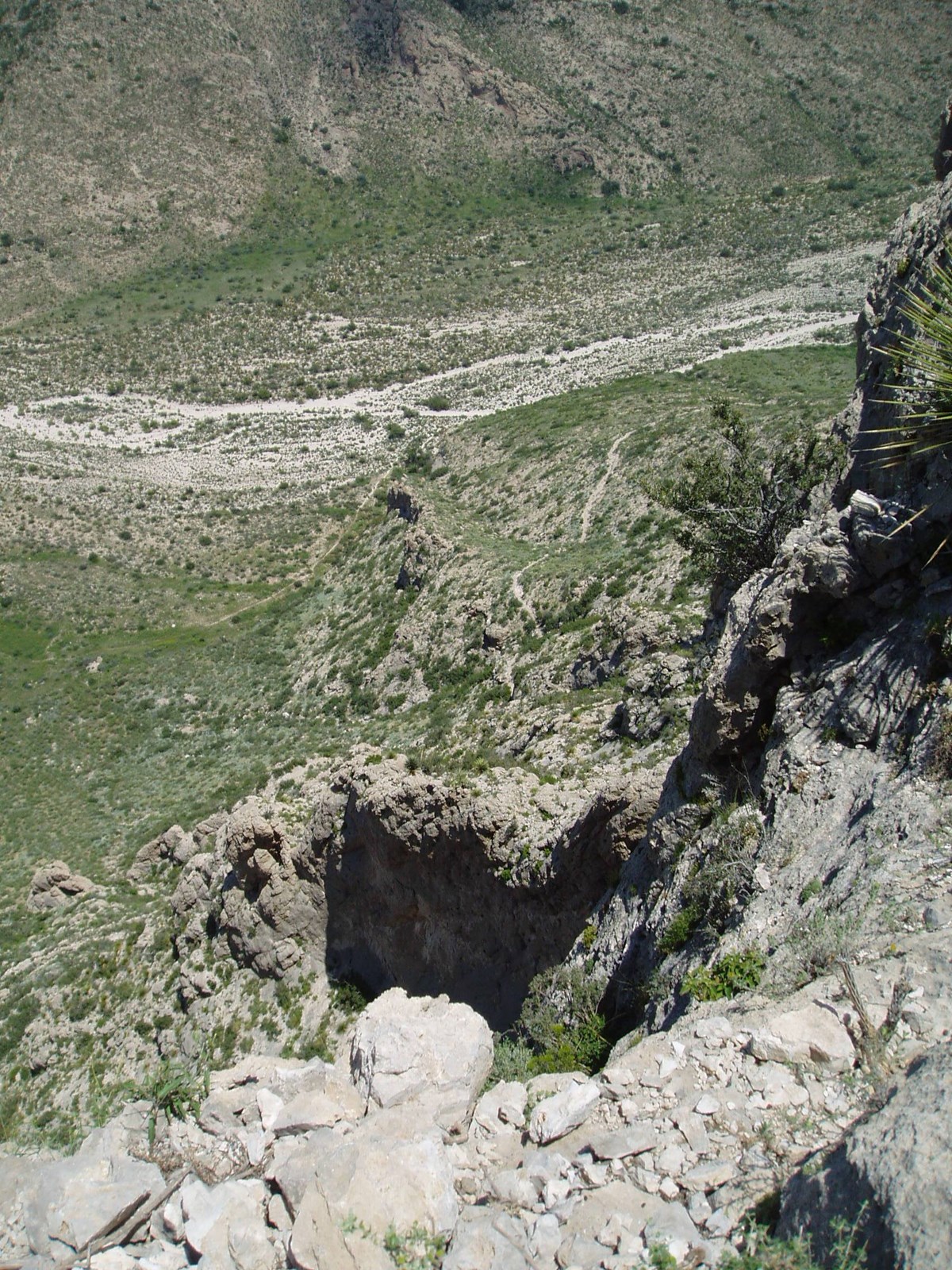
Photo looking down from the Slaughter Canyon Cave Trail.
View from along the Slaughter Canyon Cave Trail. Photo: NPS

Gaining 500 feet (152 m) in elevation over a rugged 0.5 mile (1 km) path, the views of Slaughter Canyon are spectacular. Considered a difficult trail, hikers generally take about 45 minutes to go from the parking area to the cave entrance.

The cave itself can only be seen on a ranger-guided tour.

Accessibility Trail is narrow, rocky, and moderately steep.

This hike on nps.gov

Slaughter Canyon Trail the Park Service's write-up

7 Hours · no dogs

Start Slaughter Canyon Trailhead
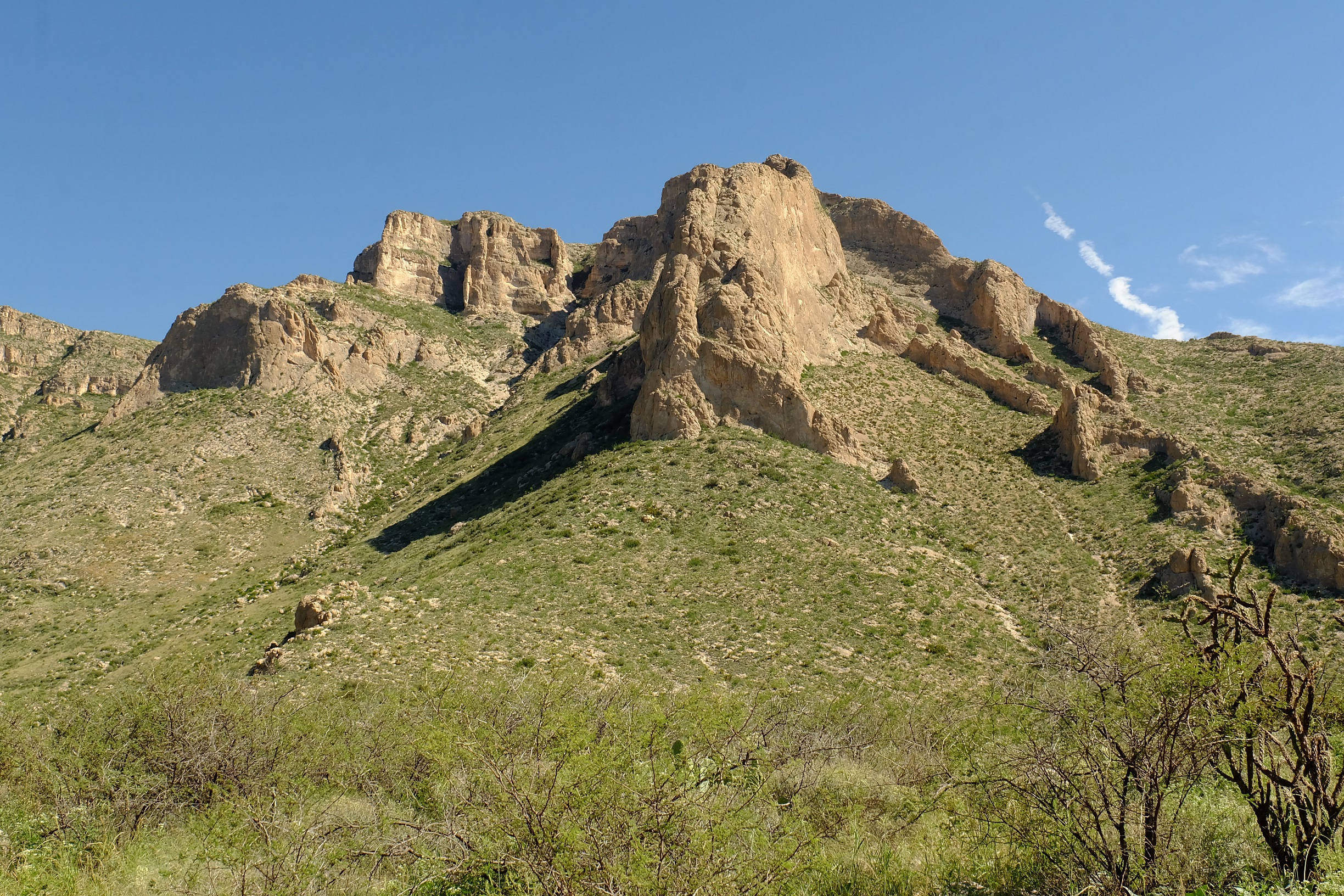
Photo of towering mountains above the Slaughter Canyon Trail.
Mountains along the Slaughter Canyon Trail. Photo: NPS / Eymard Bangcoro

The trailhead for this 5.3 mile (8.6 km) hike is located at the parking area for Slaughter Canyon. Rated as difficult, one-way travel is 7 hours with an elevation change of 1,850 feet (564 m).

A free permit is required for all overnight use of the park’s backcountry which can be obtained at the visitor center during business hours.

Accessibility Trail is narrow, rocky, and steep.

This hike on nps.gov

All 18 trails in Carlsbad Caverns National ParkFind a trailOn the parks mapPark on nps.gov

About this trail's facts

The lines are the National Park Service's public trails layer, the trailheads and the waterfalls, views, peaks and historic places along them the Service's public points of interest, read 2026-10-16 and simplified for the map; the length is the line's, end to end. The write-ups are the Service's own "things to do" text, unedited. Heights come from USGS 3DEP through Terrain Tiles on AWS (Mapzen/Tilezen), read along each line and rounded; a short trail on steep ground can be off by a few tens of feet. Closures change: check the park's own site before you go.