0.5 mi of trail, end to end · 500 ft of descent · 4,225 ft–4,718 ft · trail class Moderately Developed
Slaughter Canyon Cave Trail the Park Service's write-up
90 Minutes · no dogs · season Temperatures in the summer can reach over 100°F (38°C). Hike early in the day and bring water.
Start Slaughter Canyon Cave Trailhead
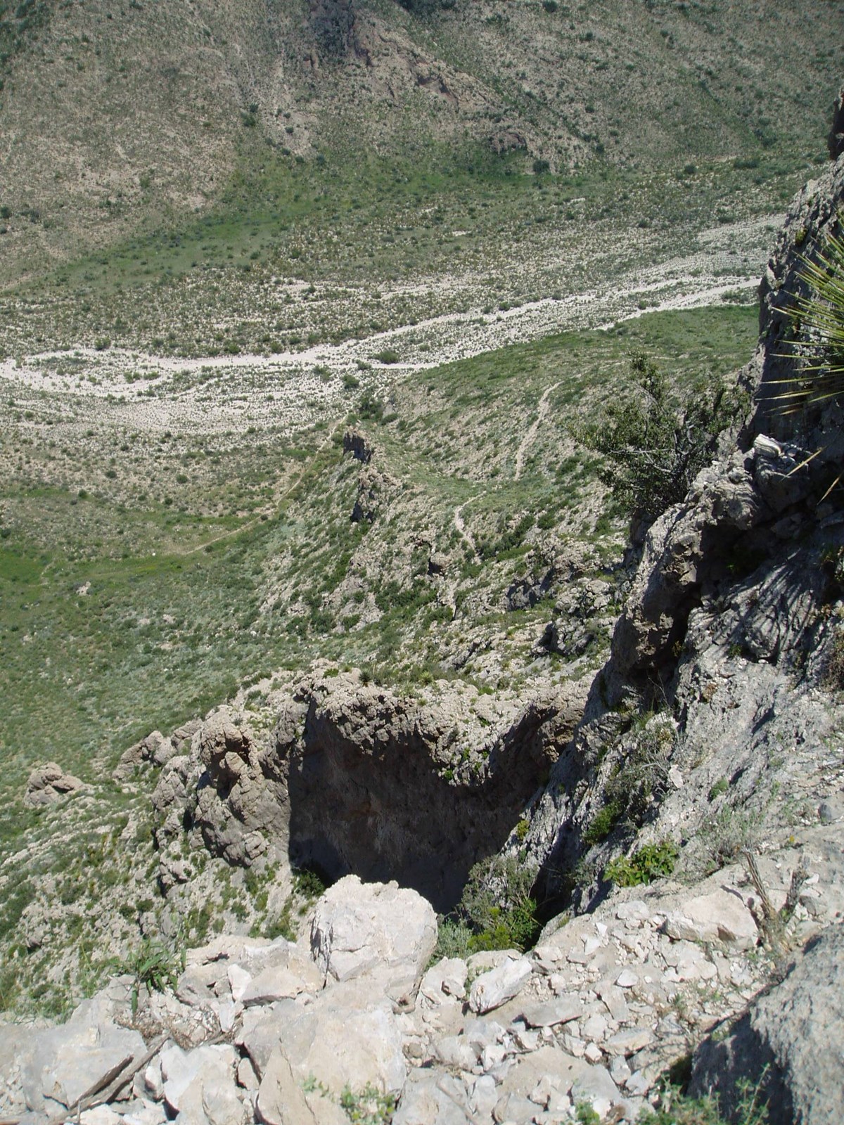
View from along the Slaughter Canyon Cave Trail. Photo: NPS
Gaining 500 feet (152 m) in elevation over a rugged 0.5 mile (1 km) path, the views of Slaughter Canyon are spectacular. Considered a difficult trail, hikers generally take about 45 minutes to go from the parking area to the cave entrance.
The cave itself can only be seen on a ranger-guided tour.
Accessibility Trail is narrow, rocky, and moderately steep.
The lines are the National Park Service's public trails layer, the trailheads and the waterfalls, views, peaks and historic places along them the Service's public points of interest, read 2026-10-16 and simplified for the map; the length is the line's, end to end. The write-ups are the Service's own "things to do" text, unedited. Heights come from USGS 3DEP through Terrain Tiles on AWS (Mapzen/Tilezen), read along each line and rounded; a short trail on steep ground can be off by a few tens of feet. Closures change: check the park's own site before you go.