2.1 mi of trail, end to end · about 450 ft of climbing · 948 ft–1,558 ft · native surface · trail class Moderately Developed · hiking
Views
Along the wayBlue Ridge Summit Overlook
TrailheadsBlue Ridge Summit Trailhead 1,541 ft Drive there · Hog Rock Trailhead 1,541 ft Drive there · Visitor Center Trailhead 933 ft Drive there
Hike to Thurmont Vista: The Pink Blazed Trail the Park Service's write-up
1-2 Hours · dogs allowed · season The Thurmont Vista Parking Lot is closed during the winter.
Start Thurmont Vista Loop
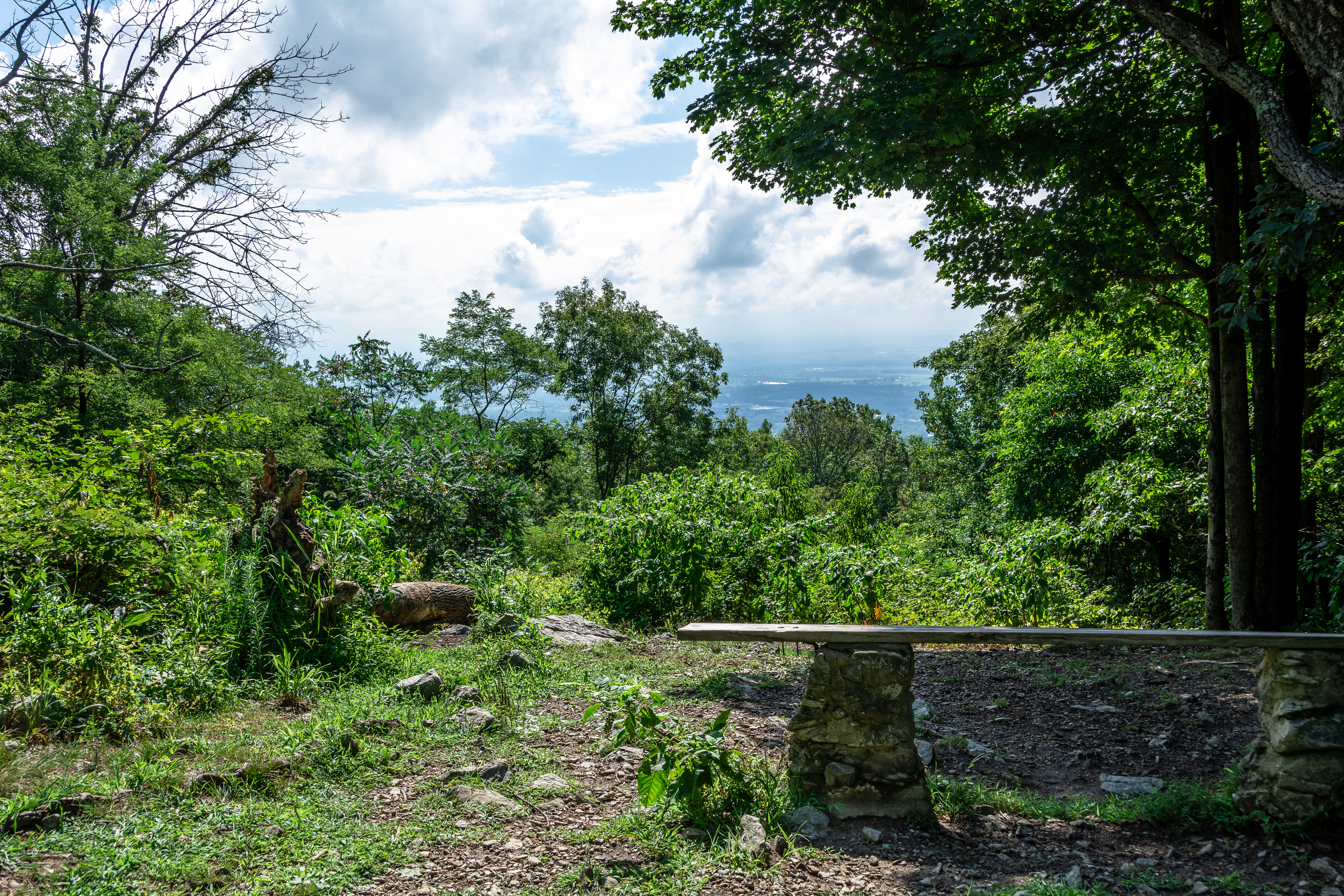
Thurmont Vista is a moderate challenge for hikers seeking a view. Photo: NPS Photo/John Zuke
Visit Thurmont Vista
A climb to the summit of a mountain is always an energizing experience. The Thurmont Vista Loop, designated by a pink blaze, takes hikers through a moderate uphill and downhill trail network along the ridge for 2.5 miles. The maximum elevation reached on this trail/loop is at the Thurmont Vista Overlook with an elevation of 1499 feet.
Accessibility Thurmont Vista Trail This trail is not wheelchair accessible.
The lines are the National Park Service's public trails layer, the trailheads and the waterfalls, views, peaks and historic places along them the Service's public points of interest, read 2026-10-16 and simplified for the map; the length is the line's, end to end. The write-ups are the Service's own "things to do" text, unedited. Heights come from USGS 3DEP through Terrain Tiles on AWS (Mapzen/Tilezen), read along each line and rounded; a short trail on steep ground can be off by a few tens of feet. Closures change: check the park's own site before you go.