
TR-4 Whiskey Still Trail
Trailheads Blue Blazes Still Trailhead 919 ft Drive there · Falls Nature Trailhead 922 ft Drive there
Hike to Chimney Rock: The Orange Blazed Trail 3.9 mi round trip · the Park Service's write-up
2-4 Hours · dogs allowed · Spring, Summer, Fall · season <p>This loop is the most strenuous trail in our park as the trail is steep, narrow and at times can be slippery.</p>
Start Chimney Rock
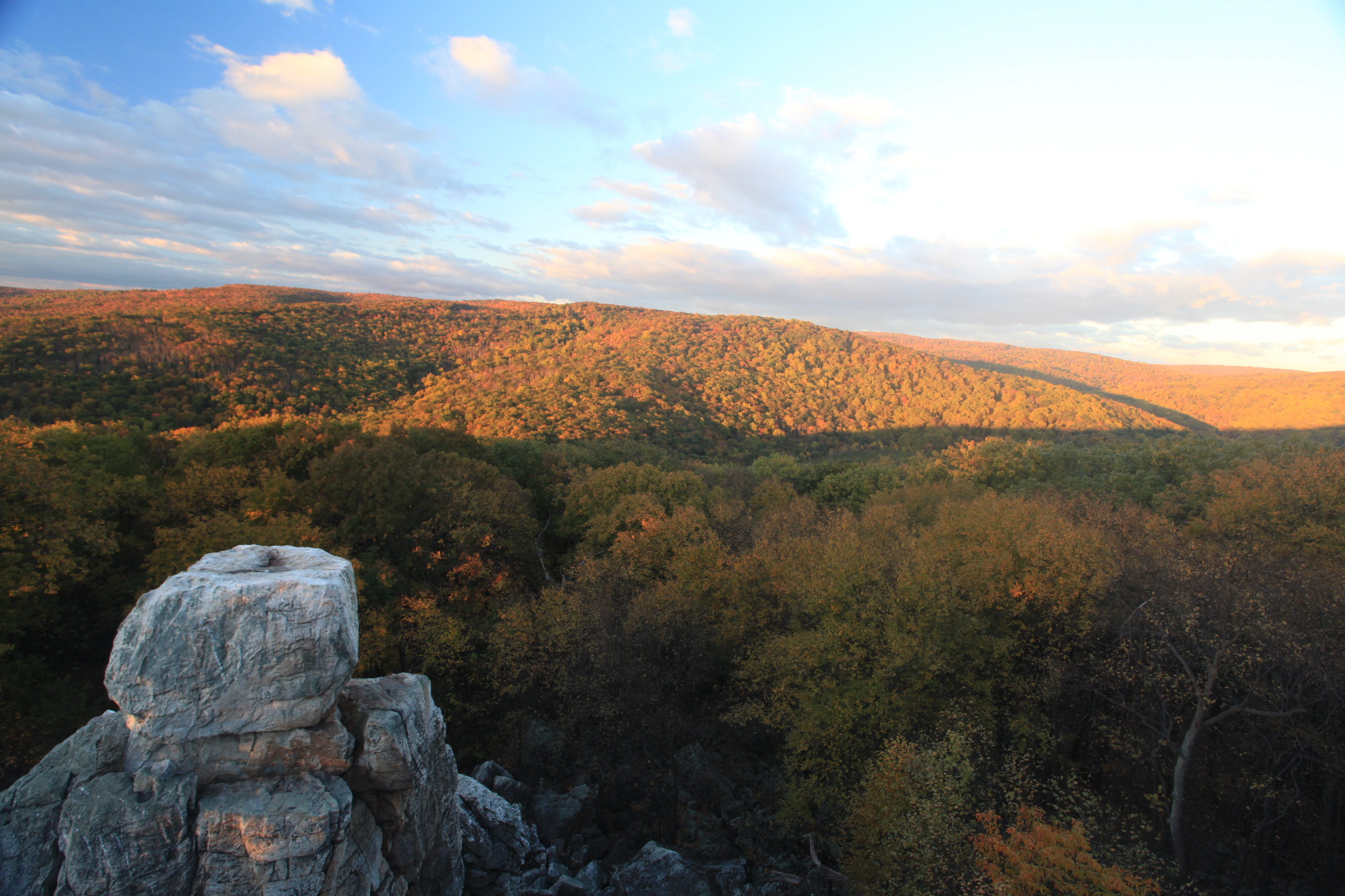
Visit Chimney Rock
Along every hill and in every bend in the trail, a new experience, a new beauty, a new connection to Nature, waits for you at Catoctin Mountain Park. This semi-strenuous trail begins and ends at the East Corner of the paved parking area by the Visitor Center. The hike is 3.9 miles round trip and provides stunning views of the mountains from the top of Chimney Rock.
This loop is the most strenuous trail in our park as the trail is steep, narrow and at times can be slippery. The actual trail at times can be hard to identify so follow the map closely; it is designated by an orange blaze. A trail map and compass are advised. This trail features two of the most well known rock formations at Catoctin Mountain Park: Chimney Rock and Wolf Rock. Each of these rock formations are great places to stop and enjoy lunch or just take in the scenery. Chimney Rock reaches a maximum elevation of 1419 ft and Wolf Rock has an elevation of 1401 ft.
Accessibility Chimney Rock Trail This trail is not wheelchair accessible. Spicebush Trail This quarter-mile interpretive trail is wheelchair-accessible with a natural-looking specially bonded WoodCarpet® that is firm and stable. The trailhead is in the Chestnut picnic area. Accessible parking and two wheelchair-accessible picnic tables connect to the trail. Restrooms are within 200'. Historic Camp Greentop, known for its tradition of serving children with disabilities, is also very close. Spicebush Trail Map (pdf 71kb)