
Pamet Cranberry Bog Trail
History
Along the way Cranberry Bog House
Hike the Pamet Area Trails 0.6 mi out and back · the Park Service's write-up
1-2 Hours · no dogs
Start North Pamet Road
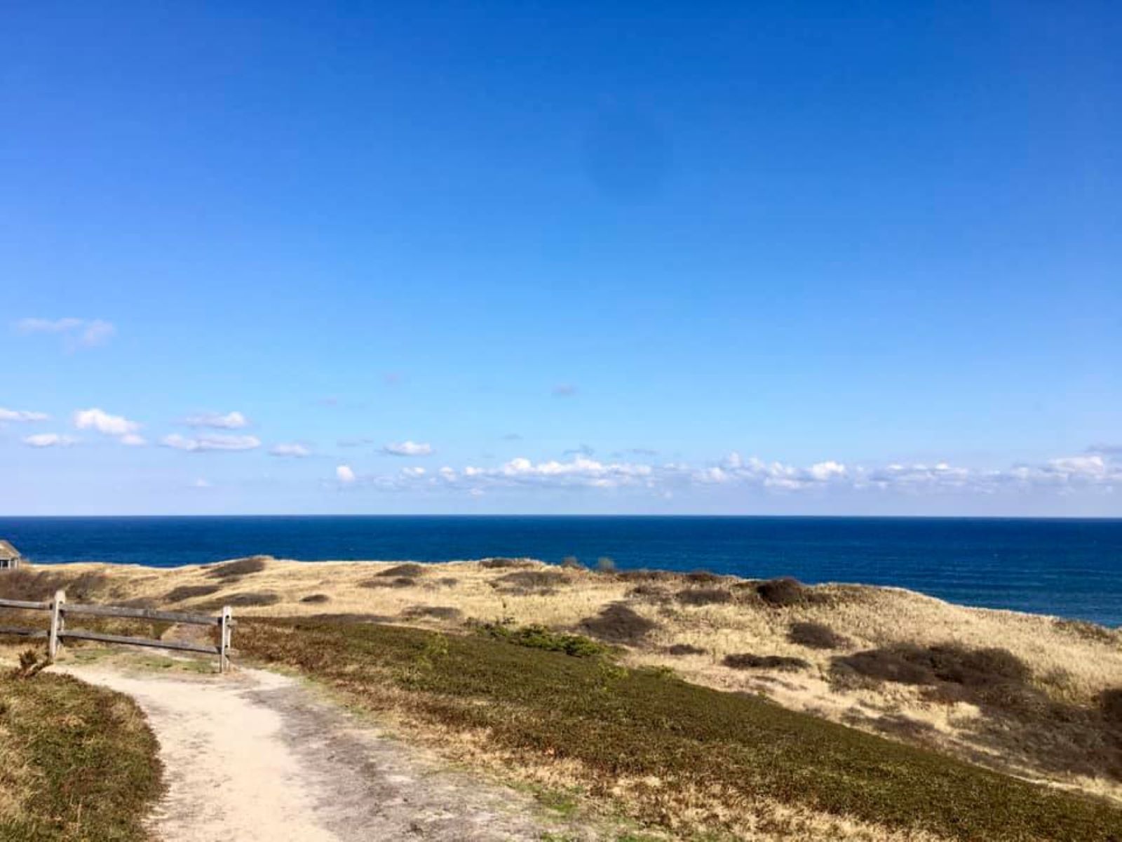
Find your trail to explore at Cape Cod National Seashore! One of eleven trails in the park is the Pamet Area Trails, a 0.6-mile out and back trail with several spurs in Truro, Massachusetts. Bearberry Hill overlooks offer spectacular views of the Pamet landscape, with views of the Atlantic and the glacial terrain of the Pamet River valley, and a former boghouse from the era of commercial cranberry harvesting. Outdoor exhibits and a folder keyed to trail markers describe the area.
The trail is rated as moderate. The trail is a solid surface. There are log steps and steep grade to the Bearberry Hill overlook. No restrooms.
Pets Pets are not allowed on any of the Seashore's walking trails. Pets are allowed seasonally on bike paths, seasonally on beaches, and year round on fire roads. Please call 508-255-3421 for more information.
Accessibility The trail is rated as moderate. The trail surface is solid with some slopes and hills. Some sections of the trail may have mud depending on weather conditions. Contact the visitor center with any accessiblity questions, 508-255-3421.