
Great Island Trail
Hike the Great Island Trail 3.9 mi loop · the Park Service's write-up
3-4 Hours · dogs allowed
Start Upper Great Island Trail Parking Lot
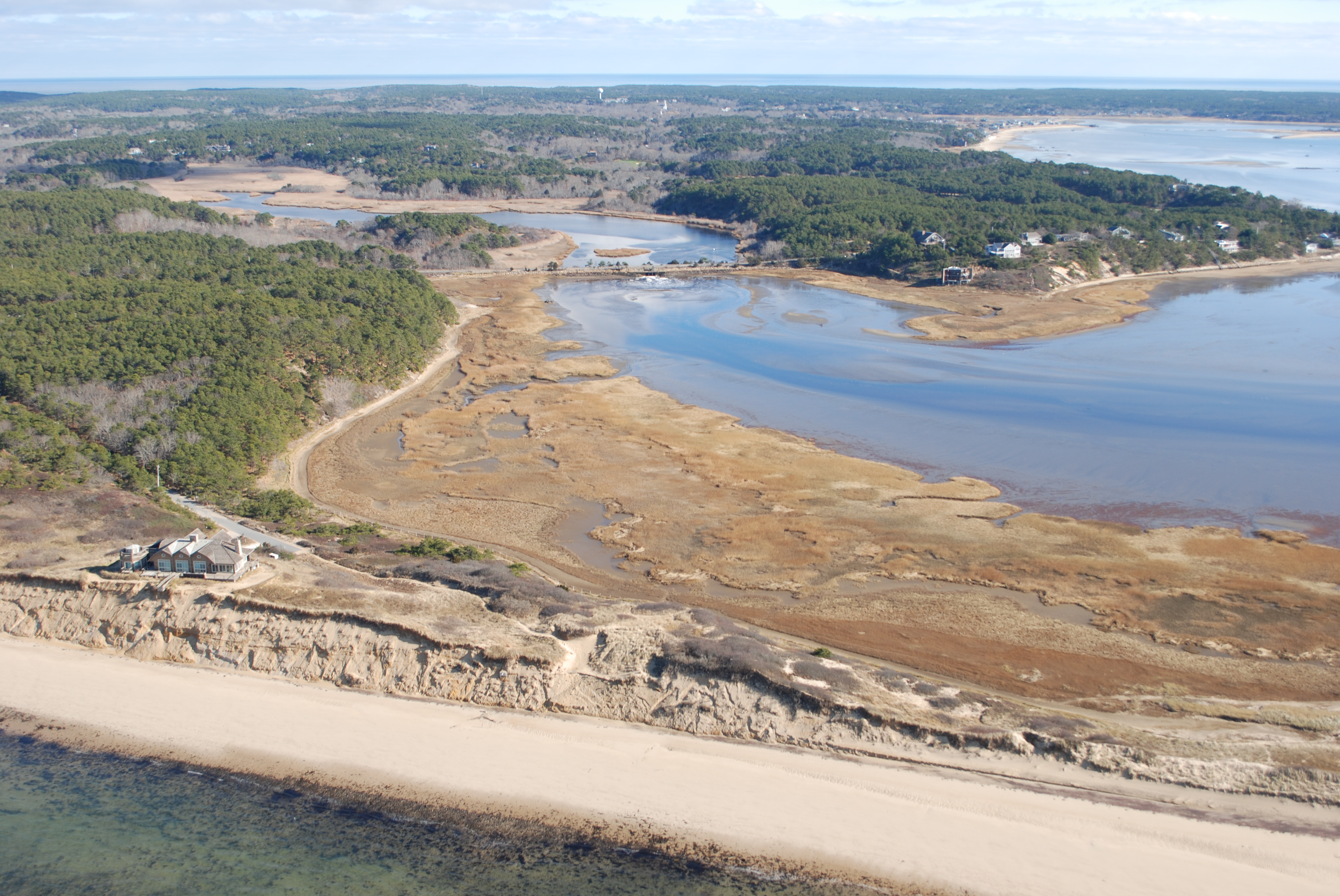
Are you looking for a day of adventure? Look no further than Cape Cod National Seashore's longest hiking trail, Great Island! Make your own adventure to enjoy the shorter 3.9-mile loop or go for gold with the full 8.8 mile loop to Jeremy Point! The trail follows sandy stretches between the elevated heights of Great Island and Great Beach Hill. Its higher elevations punctuate spectacular vistas which emerge from an even-aged, pitch-pine forest. Part of this trail leads to a colonial-era tavern site (no remains are visible). Other sections skirt salt marsh embayments.
The Great Island Trail is the park’s most difficult trail; mainly soft sand; some log steps; portions are submerged at high tide; hats, sturdy footgear and drinking water advised. Leashed pets are allowed between the upper/lower parking areas along the trail to the first cut and out onto the beach.
USE CAUTION AND CHECK THE TIDES BEFORE ATTEMPTING THIS TRAIL! Many sections of the trail, including Jeremy Point, are submerged at high tide.
Accessibility The Great Island Trail is the park’s most difficult trail; mainly soft sand; some log steps; portions are submerged at high tide; hats, sturdy footgear and drinking water advised. The soft sand makes walking difficult. Please consider skill recomendations when determining if this activity is appropriate for younger family members. Contact the visitor center with any accessiblity questions, 508-255-3421.