
Buttonbush
Trailheads Buttonbush Trail 26 ft Drive there · Nauset Marsh Trail 20 ft Drive there
Hike the Buttonbush Trail 0.3 mi loop · the Park Service's write-up
10-20 Minutes · no dogs
Start Behind the Salt Pond Visitor Center
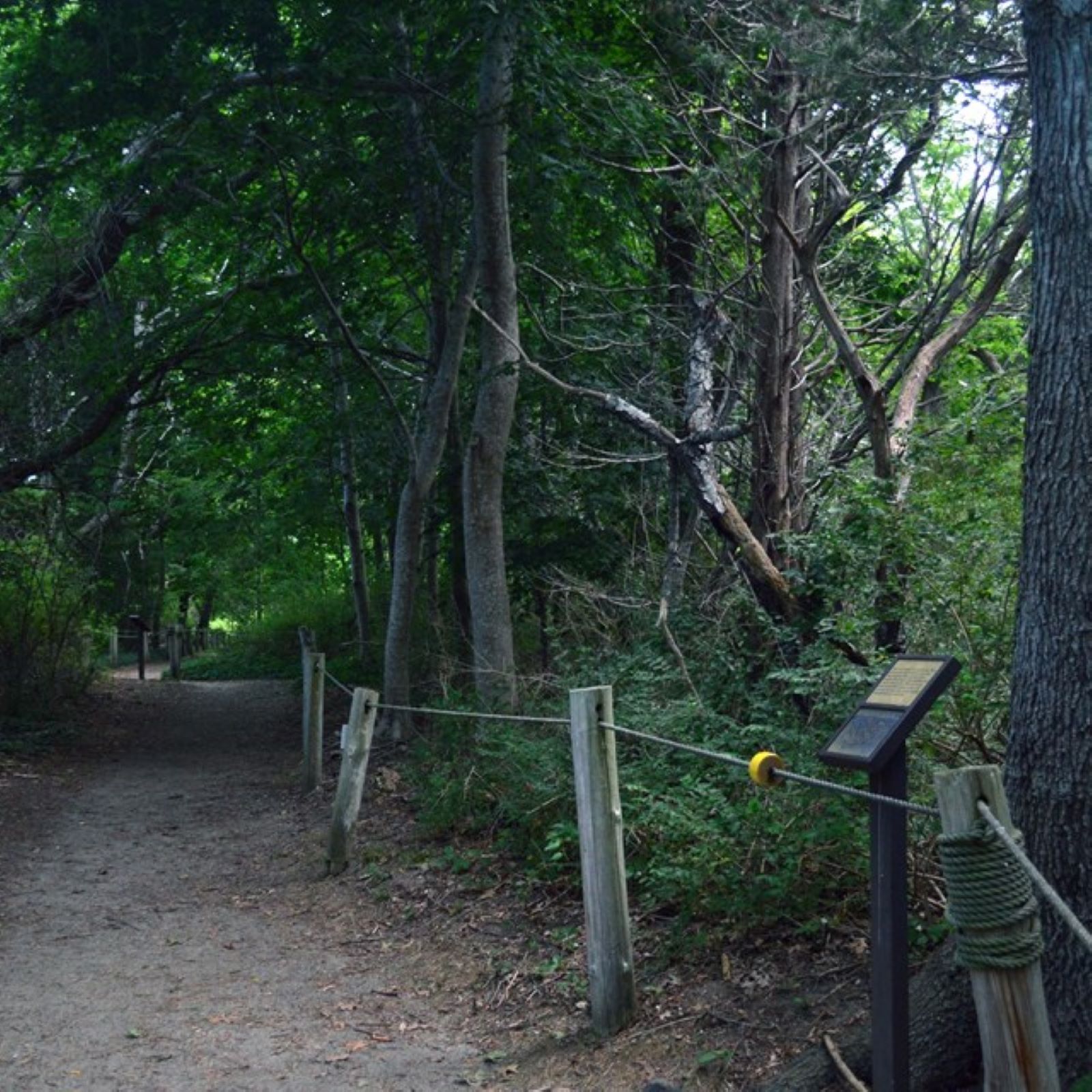
Find your trail to explore at Cape Cod National Seashore! One of eleven trails in the park is the Buttonbrush trail, a 0.3-mile loop trail that begins at the Salt Pond Visitor Center. This accesible loop trail includes interactive features great for kids, and involves all the senses as it winds through forest, crosses over the Buttonbush Pond on a boardwalk bridge, and traverses formerly cultivated areas.
The trail is rated as easy. It has solid surface, some sections of boardwalk, and a rope along the length of the trail to guide blind visitors. Pets are not allowed on any of the hiking trails in the park.
Pets Pets are not allowed on any of the Seashore's walking trails. Pets are allowed seasonally on bike paths, seasonally on beaches, and year round on fire roads. Please call 508-255-3421 for more information.
Accessibility The trail is rated as easy. There are some log steps on the second half of the trail with a slight slope. There are restrooms at visitor center. Contact the visitor center with any accessiblity questions, 508-255-3421.