
Beech Forest
Trailheads Beech Forest Trail North 9 ft Drive there · Beech Forest Trail South 7 ft Drive there
Hike the Beech Forest Trail 1 mi loop · the Park Service's write-up
30-60 Minutes · no dogs
Start Beech Forest Parking Area
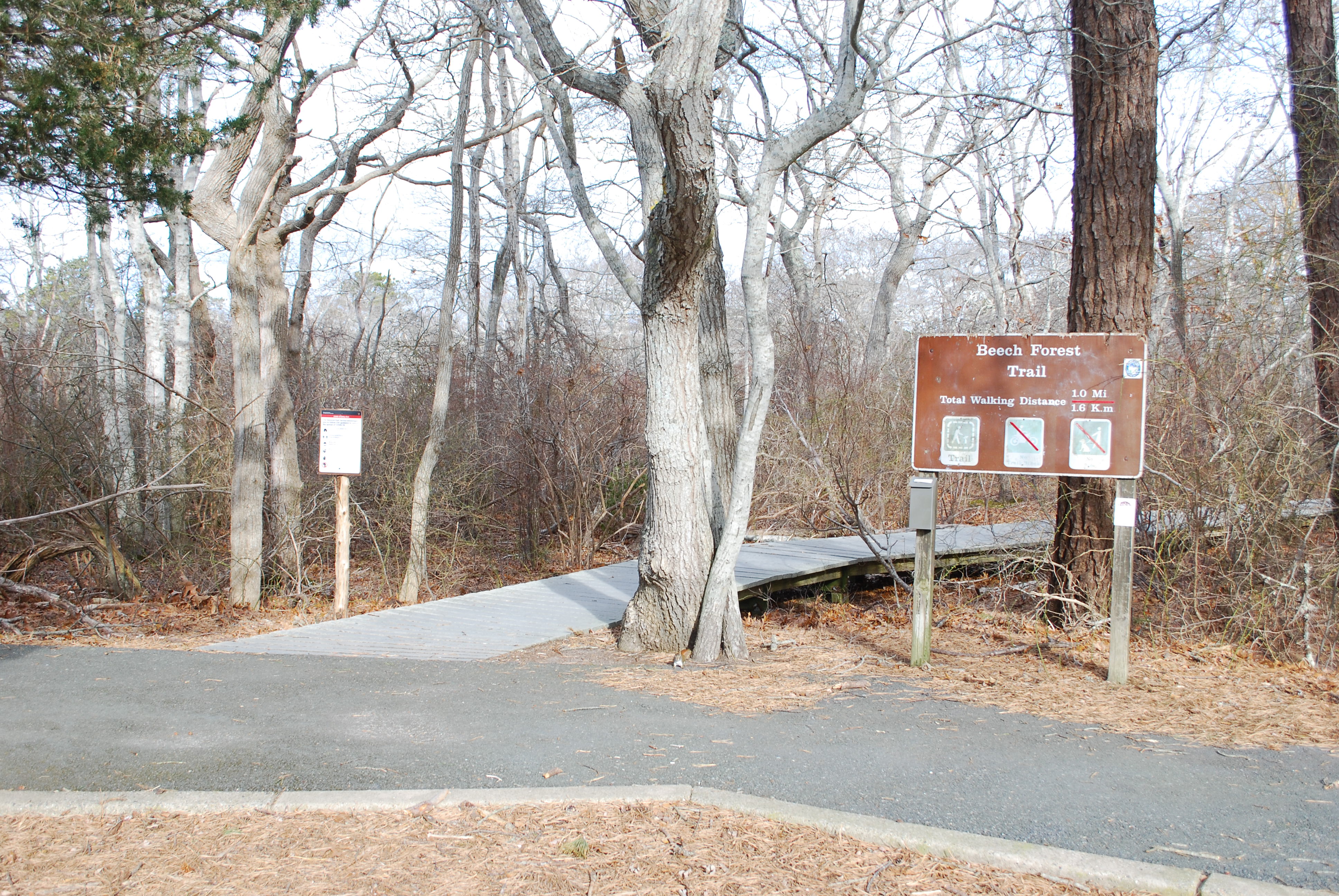
Find your trail to explore at Cape Cod National Seashore! One of eleven trails in the park is the Beech Forest Trail, a 1-mile loop trail in Provincetown, Massachusetts. Journey into the heart of a picturesque beech forest, and enjoy great bird watching opportunities, especially in spring and fall. It skirts the shallow Beech Forest Pond.
This trail is rated as easy. The extension loop has steep log steps. There is some soft sand, some sections of boardwalk, and seasonal restrooms at trailhead. The Province Lands bicycle trail can be accessed from parking area. Pets are not allowed on any of the hiking trails in the park.
Pets Pets are not allowed on any of the Seashore's walking trails. Pets are allowed seasonally on bike paths, seasonally on beaches, and year round on fire roads. Please call 508-255-3421 for more information.
Accessibility This trail is rated as easy. The extension loop has steep log steps. There is some soft sand, some sections of boardwalk, and seasonal restrooms at trailhead. Contact the visitor center with any accessiblity questions, 508-255-3421.