
Atlantic White Cedar Swamp
Trailhead Atlantic White Cedar Swamp Trailhead 86 ft Drive there
Hike the Atlantic White Cedar Swamp Trail 1.2 mi loop · the Park Service's write-up
30-60 Minutes · no dogs
Start Marconi Site Parking Area
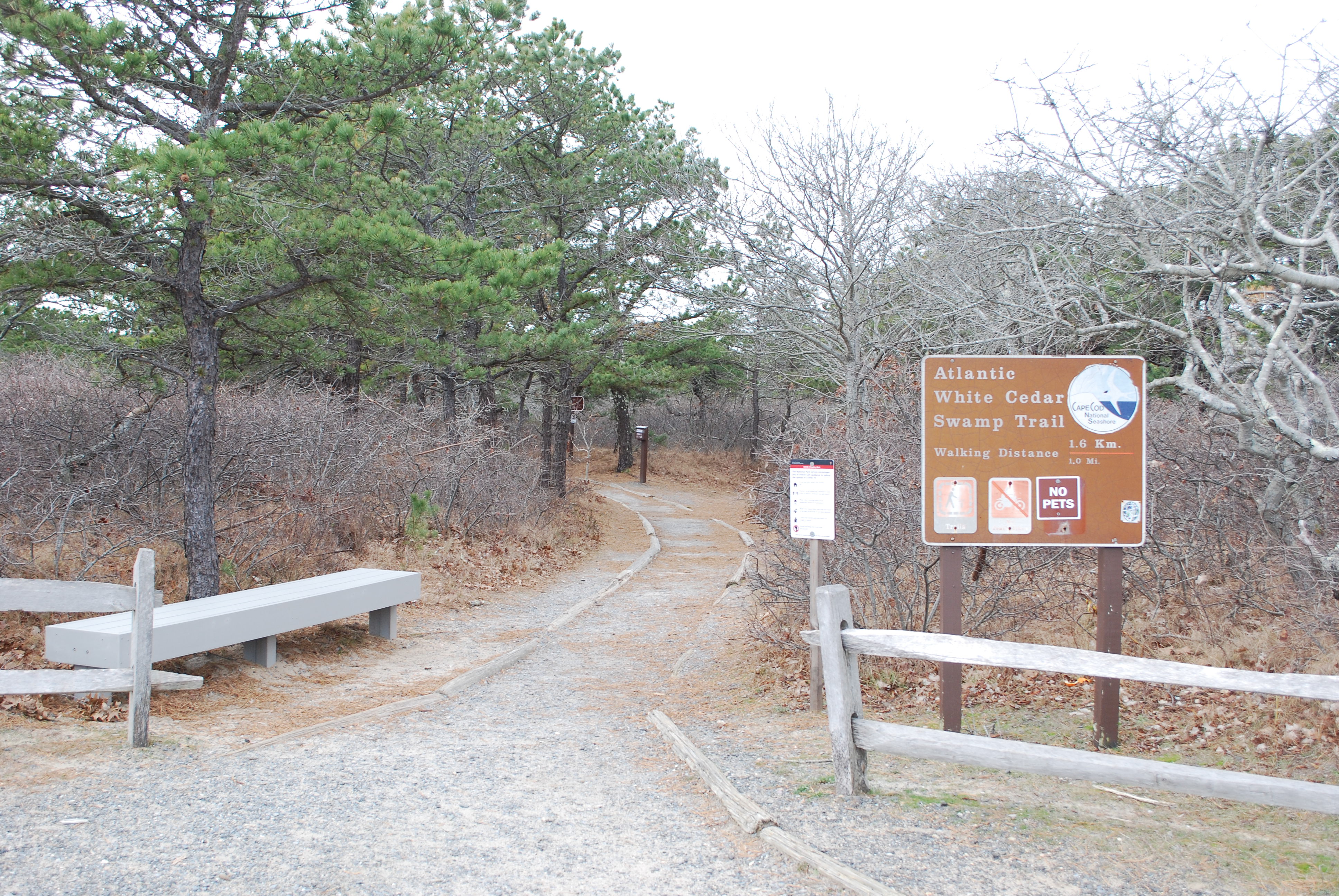
Find your trail to explore at Cape Cod National Seashore! One of eleven trails in the park is the Atlantic White Cedar Swamp, a 1.2-mile loop trail in Wellfleet, Massachusetts. The trail descends through a stunted oak and pine forest into a mature woodland, leads to a boardwalk that winds through the picturesque Atlantic White Cedar Swamp, and returns via the historic “Wireless Road” (a sand road) to the starting location.
The trail is rated as moderate. It has solid surface for the duration of the trail with some slopes and hills. There is a boardwalk through the swamp for about 0.6 miles. Pets are not allowed on any of the hiking trails in the park.
Pets Pets are not allowed on any of the Seashore's walking trails. Pets are allowed seasonally on bike paths, seasonally on beaches, and year round on fire roads. Please call 508-255-3421 for more information.
Accessibility The trail is rated as moderate. The trail surface is solid with some slopes and hills, in addition to a boardwalk through the swamp. Some sections of the trail may have mud depending on weather conditions. There are seasonal restrooms at the trail head. Contact the visitor center with any accessiblity questions, 508-255-3421.