
Roanoke River Trail
Hike the Roanoke River Trail the Park Service's write-up
20-60 Minutes · dogs allowed · season Use caution after heavy rainfall as the path and stairs may be slick. Ice may be present on the trail in winter.
Start Roanoke River Overlook at Blue Ridge Parkway Milepost 114.9
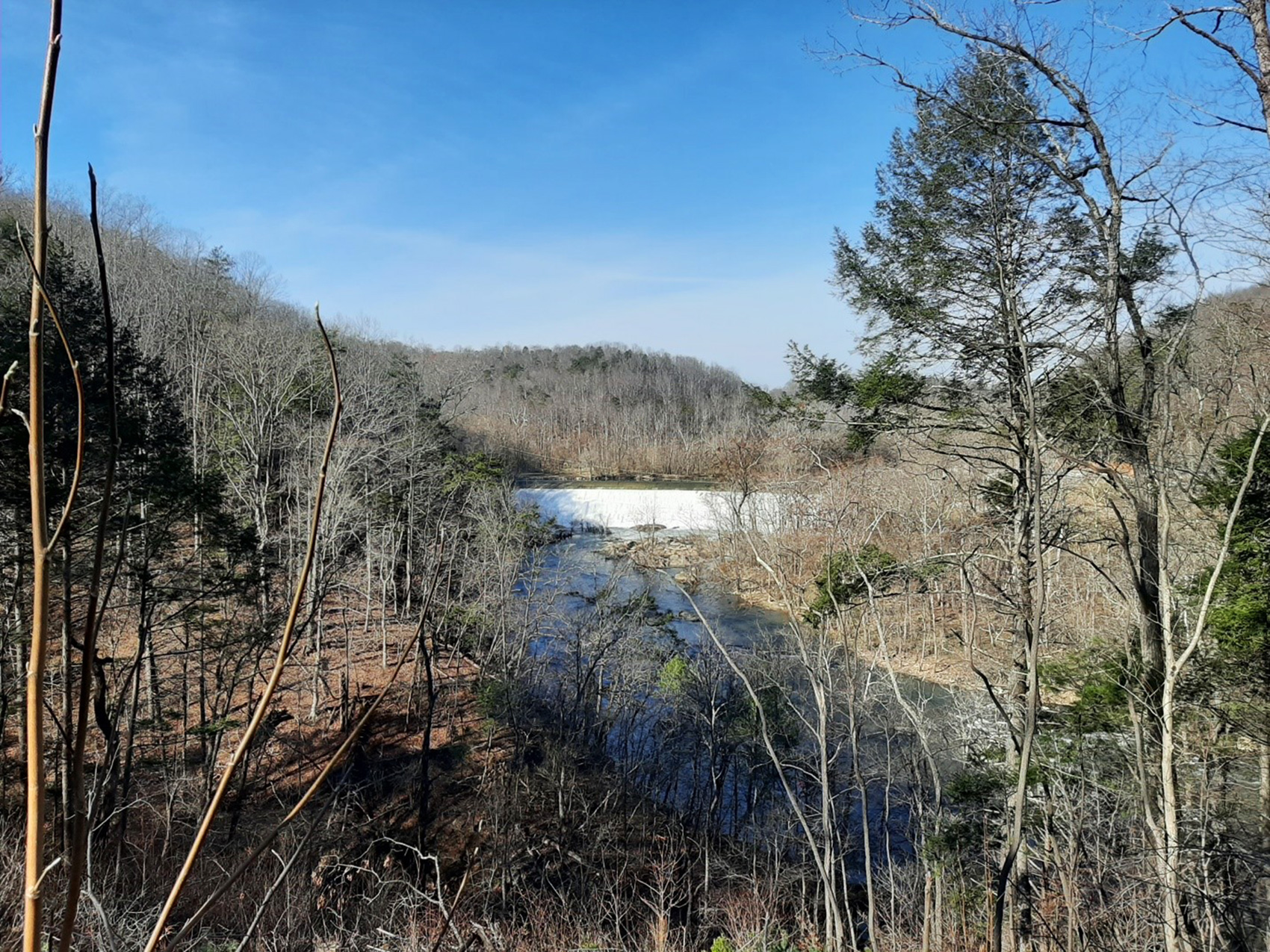
The Roanoke River Trail is a 0.35 mile easy hike starts at an overlook before descending towards the Roanoke River. From this trail you can either take the Fisherman’s Trail down to the Roanoke River, head to a stone pedestrian overlook for a great view the river, or hike on the looped trail that takes you under the Roanoke River Bridge. All trails offer splendid views of the water.
The overlook sets the scene with a view of the river and nearby Niagara Dam. Immediately the trail begins its downward descent transitioning from a paved to more traditional path. Along the way, there are plenty of opportunities for photos of the dam and river from the side of the cliff. The parkway bridge that passes over the river is hard to miss. At this point the trail is about 50’ under the bridge.
Just before crossing under the bridge, the pathway forks. Taking the path to the left will lead you down to the water, another 80’ down. This is appropriately called the Fisherman’s Trail. Along this short path, which turns into a series of stairs, there is a wayside that talks about the Niagara Power Plant, the smallest hydroelectric plant in the American Electric Power System. Along the way are also a couple of benches which can provide needed breaks. The water is too rough for swimming, but fishing is allowed with a valid license.
Most people hiking the loop will want to go under the bridge, and from there you have a choice of where to go. Stay on the main trail to complete the loop, or head out the small diverging path to view the water from a pedestrian overlook. This quaint stone structure looks out over the river from a different vantage point than those offered along the trail. Visitors who are looking for a slightly longer walk may feel inclined to walk to all three trails.
Benches along the trails provide pleasant spots to rest and enjoy the scenery.
Is it worth driving out your way to experience Roanoke River Trail? Maybe not. But if you are in the area, it is a pleasant way to get some exercise without committing an entire afternoon to the endeavor. The trails offer nice views of the water, small plaques point out some of the common trees and plants found nearby, a wayside on the Fisherman’s Trail tells the history of the Niagara Power Plant across the river, and with the railroad so close by, you may get the chance to see a train.
Accessibility The Roanoke River Trail is not handicap accessible due to the terrain and narrow trail bed. It is also not recommended for strollers. The trail bed varies between 2-4 feet wide and is a mostly downhill. The surface material transitions from a paved path to mostly compacted dirt and leaf litter. Watch for raised roots and sticks on the ground. Uneven tread requires good balance. All sections of the trail contain some stairs. The Fisherman’s trail is mostly stair and is not recommended for anyone who has difficulty with descending or climbing them. There are several benches along all portions of the trail that can provide breaks as needed. Throughout the trail there are a series of plaques with a short blurb about local plants, there is currently no assistive listening for these. The wayside about the Niagara Power Plant currently has no assistive listening available.