
Gully Creek Trail
History
Along the way Cumberland Knob (Smith) Cemetery
Hike the Gully Creek Trail Loop the Park Service's write-up
2-3 Hours · dogs allowed · Spring, Summer, Fall
Start Cumberland Knob Recreation Area
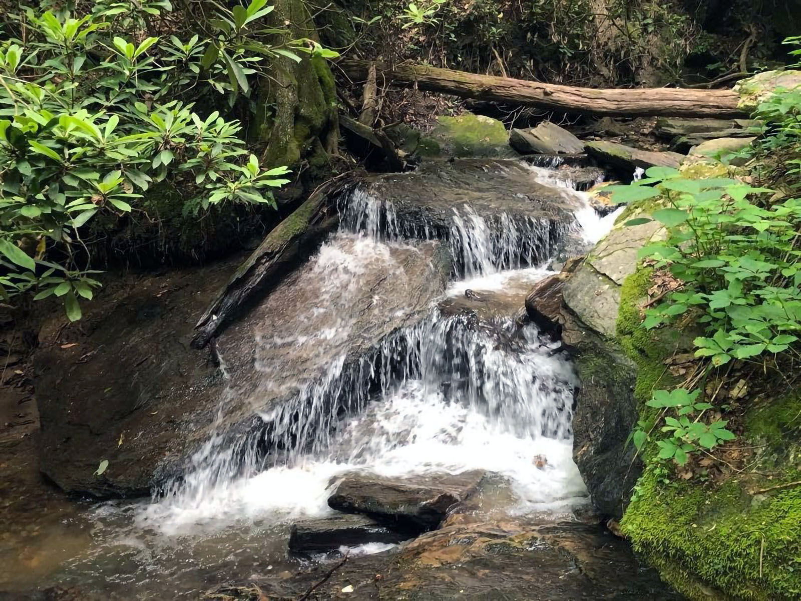
The Gully Creek Trail is a 2.5-mile strenuous loop hike that follows cascades of water and beautiful woodland scenery. Hikers should expect to spend 2-2.5 hours on the trail and experience a change in elevation from a low of 1,996 feet to a high of 2,751 feet. The hike begins at the Cumberland Knob Picnic Area, the parkway’s first concessionaire and visitor center which features bathroom facilities and a shelter for inclement weather.
This hike showcases several small to medium cascading waterfalls alongside towering trees. Expect 7 or more water crossings, depending on weather. Be advised that the trail is narrow in places and may require strategic foot work to traverse. When hiking counterclockwise be prepared for several switchbacks at the end.
While there are no long-range views, this hike offers rewarding micro-views. Flowers, fungi, and more can be seen growing throughout the seasons on this trail. To help plan your trip consult the Cumberland Knob Recreation Area map .
Accessibility The Gully Creek trail is deemed strenuous with seven water crossings, narrow trails, and elevation change from a low of 1,996 feet to a high of 2,751 feet. The picnic areas and restroom facilities at the Cumberland Knob Recreation Center are accessible from the parking area.